Chest opened
+${chestReward.xp} XP
Explorer
NOUVEAU ×${chestReward.collectible.quantity}
tapez pour fermer
Chest locked

Open chests in the app

Around Us is built for your phone — chests unlock when you walk, explore and capture nearby places.

Enable Location

We need your location to show you interesting places around you

Discover nearby places

Find interesting locations and hidden gems around you

Precise directions

Get accurate directions and distances to places

Your location is never shared with other users. It's only used when you tap the location button.

Log in to your account

Start exploring — it's free

Trusted by 72,880 travelers worldwide

Continue with Google
Continue with Apple
or

We will send you a code to connect

By continuing, you accept our Terms and Conditions and our Privacy Policy

Check your inbox

We've sent a pincode in your inbox. Please enter the code below.

Talladega-Sylacauga, AL Micropolitan Statistical Area
Discussion Reviews Photo
2.5k Popularity

Talladega-Sylacauga, AL Micropolitan Statistical Area, Statistical metropolitan district in central Alabama, United States.

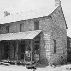
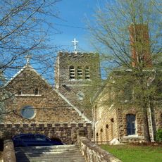
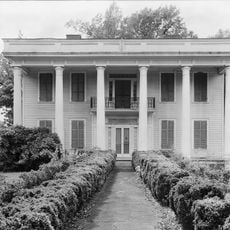
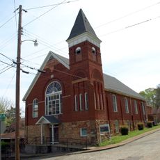
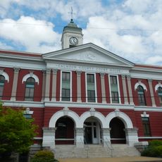
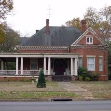
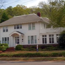
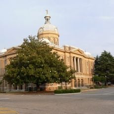
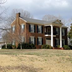
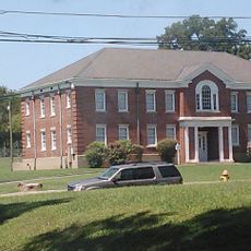
The Talladega-Sylacauga area is a micropolitan region in central Alabama with two principal cities and several smaller communities. The territory sits within the broader Birmingham-Hoover metropolitan area and contains a mix of residential neighborhoods and rural districts.

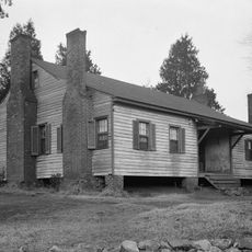
The region took shape after Creek Indians ceded their lands in 1832, with Talladega taking its name from a Muscogee word meaning Border Town. This land transfer enabled the development of settlements that form the current micropolitan area.

The demographic composition reflects a population of 82,149 residents as of 2020, with White residents at 61.76% and Black or African American residents at 32.06%.

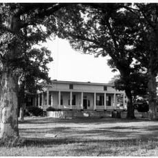
The area is part of the larger Birmingham-Hoover metropolitan region and offers housing options reflecting a mix of urban and rural characteristics. Visitors will find various amenities and services typical of mid-sized communities throughout the region.

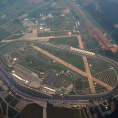
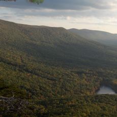
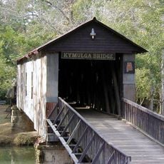
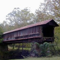
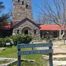
Mount Cheaha, Alabama's highest point, stands near this area and offers views across surrounding ridges. Additionally, the Talladega Superspeedway, a noted racing facility, operates within the region.

The community of curious travelers

AroundUs brings together thousands of curated places, local tips, and hidden gems, enriched daily by 60,000 contributors worldwide.

Start exploring
GPS coordinates
33.43290,-86.10460
Latest update
December 12, 2025 17:44
Around this place
Talladega Superspeedway
United States of America

Talladega Superspeedway

15.3 km
Cheaha Mountain
United States of America

Cheaha Mountain

28.1 km
International Motorsports Hall of Fame
United States of America

International Motorsports Hall of Fame

16.4 km
Cheaha State Park
United States of America

Cheaha State Park

27.7 km
Logan Martin Lake
United States of America

Logan Martin Lake

20 km
Coldwater Covered Bridge
United States of America

Coldwater Covered Bridge

33.1 km
Kymulga Mill & Covered Bridge
United States of America

Kymulga Mill & Covered Bridge

21.2 km
Bunker Tower
United States of America

Bunker Tower

28.1 km
J. L. M. Curry House
United States of America

J. L. M. Curry House

6.1 km
Desoto Caverns Family Fun Park
United States of America

Desoto Caverns Family Fun Park

21.4 km
Swayne Hall
United States of America

Swayne Hall

1.3 km
Waldo Covered Bridge
United States of America

Waldo Covered Bridge

9.2 km
Old Rock House
United States of America

Old Rock House

30.4 km
St. Michael and All Angels Episcopal Church
United States of America

St. Michael and All Angels Episcopal Church

35.6 km
Orange Vale
United States of America

Orange Vale

10.1 km
Mount Zion Baptist Church
United States of America

Mount Zion Baptist Church

34.7 km
Calhoun County Courthouse
United States of America

Calhoun County Courthouse

35.7 km
Miss Willie's House
United States of America

Miss Willie's House

598 m
Davis C. Cooper House
United States of America

Davis C. Cooper House

32.4 km
Clay County Courthouse
United States of America

Clay County Courthouse

30.6 km
First Presbyterian Church
United States of America

First Presbyterian Church

478 m
Dudley Snow House
United States of America

Dudley Snow House

32 km
Union Depot and Freight House
United States of America

Union Depot and Freight House

35.7 km
B. B. Comer Memorial Library
United States of America

B. B. Comer Memorial Library

31.5 km
Idlewild
United States of America

Idlewild

10.2 km
Walt Farr Native American Relic Museum
United States of America

Walt Farr Native American Relic Museum

28 km
Bank of Anniston
United States of America

Bank of Anniston

35.7 km
Talladega College Entrance Gate
United States of America

Talladega College Entrance Gate

816 m
Show the full map
Reviews
Share your experience

No review yet

Discussions
Start a discussion...

No discussion yet

« Talladega-Sylacauga, AL Micropolitan Statistical Area - Statistical metropolitan district in central Alabama, United States » is provided by Around Us (aroundus.com). Images and texts are derived from Wikimedia project under a Creative Commons license. You are allowed to copy, distribute, and modify copies of this page, under the conditions set by the license, as long as this note is clearly visible.

Discover hidden gems everywhere you go!

From secret cafés to breathtaking viewpoints, skip the crowded tourist spots and find places that match your style. Our app makes it easy with voice search, smart filtering, route optimization, and insider tips from travelers worldwide. Download now for the complete mobile experience.

Around Us App Screenshot

A unique approach to discovering new places

Le Figaro

All the places worth exploring

France Info

A tailor-made excursion in just a few clicks

20 Minutes

Around Us
Travel Guide & Maps
Download

Send to your phone

QR Code
1

Open the camera app on your mobile.

2

Point at the QR code with your camera. A notification will appear.

3

Tap the notification to open the link.