Jefferson County

Log in to your account

AroundUs is a community-driven map of interesting places, built by curious explorers like you. It grows with every review, story, and photo you share.
Connect to save your favorite spots, contribute locations, and create personalized routes.
Continue with Google
Continue with Apple
Continue with X
Continue with Facebook
Continue with email
By continuing, you accept our Terms and Conditions and our Privacy Policy
Create an account
Add to collection
Map
Suggest a change
Share

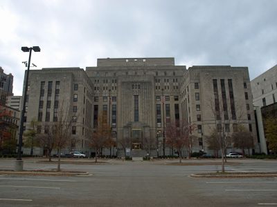
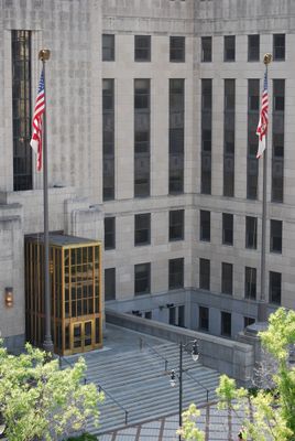
Jefferson County, Administrative county in Alabama, United States.

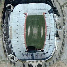
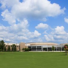
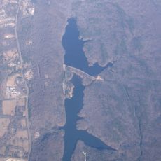
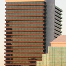
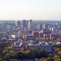
Jefferson County covers 1,124 square miles (2,911 square kilometers) across central Alabama and includes Birmingham along with mountain ranges such as Shades Mountain and Red Mountain. This region lies in the heart of the state and connects urban areas with forested ridges.

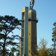
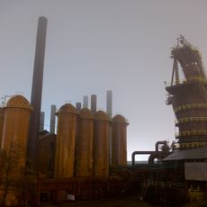
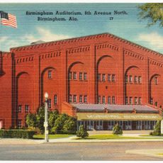
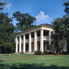
Named after President Thomas Jefferson, this territory was established in 1819 and grew into an industrial center through steel and iron manufacturing during the 20th century. Mining and metalworking drove rapid growth across the region.

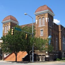
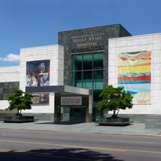
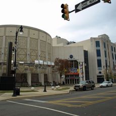
The Civil Rights movement brought national attention to this region through protests and demonstrations in 1963 that led to important social changes. These events remain visible today through memorials and museums that preserve the memory of those struggles.

The health department maintains records and provides medical services including immunization programs and specialty clinics for residents. Administrative offices are located in Birmingham and operate on weekdays.

This territory experienced the largest municipal bankruptcy in American history in 2011, with a debt of 4 billion dollars primarily caused by sewer system renovation costs. The financial crisis led to deep restructuring of local government operations.

Location: Alabama

Inception: December 13, 1819

Capital city: Birmingham

Shares border with: Tuscaloosa County, Bibb County, Blount County, Walker County, St. Clair County, Shelby County

Website: http://jeffconline.jccal.org

GPS coordinates: 33.52000,-86.81000

Latest update: December 13, 2025 15:43

Photos
Around this place
Protective Stadium
United States of America

Protective Stadium

872 m
Legion Field
United States of America

Legion Field

3.2 km
Vulcan statue
United States of America

Vulcan statue

3.4 km
Barber Motorsports Park
United States of America

Barber Motorsports Park

17.8 km
16th Street Baptist Church
United States of America

16th Street Baptist Church

585 m
Church of the Highlands
United States of America

Church of the Highlands

14.3 km
Sloss Furnaces
United States of America

Sloss Furnaces

1.7 km
United States of America

Birmingham–Southern College

4 km
Rickwood Field
United States of America

Rickwood Field

3.4 km
Hoover Metropolitan Stadium
United States of America

Hoover Metropolitan Stadium

20.5 km
Birmingham Museum of Art
United States of America

Birmingham Museum of Art

244 m
Oak Mountain State Park
United States of America

Oak Mountain State Park

23 km
Kelly Ingram Park
United States of America

Kelly Ingram Park

519 m
Birmingham Zoo
United States of America

Birmingham Zoo

4.6 km
Birmingham Civil Rights National Monument
United States of America

Birmingham Civil Rights National Monument

598 m
Birmingham Civil Rights Institute
United States of America

Birmingham Civil Rights Institute

618 m
Statue of Charles Linn
United States of America

Statue of Charles Linn

26 m
Alabama Theatre
United States of America

Alabama Theatre

571 m
Alabama Adventure & Splash Adventure
United States of America

Alabama Adventure & Splash Adventure

23.5 km
Heaviest Corner on Earth
United States of America

Heaviest Corner on Earth

739 m
United States of America

Alabama Jazz Hall of Fame

409 m
Southern Museum of Flight
United States of America

Southern Museum of Flight

8.2 km
Regions Center
United States of America

Regions Center

237 m
AT&T City Center
United States of America

AT&T City Center

206 m
Boutwell Memorial Auditorium
United States of America

Boutwell Memorial Auditorium

201 m
McWane Science Center
United States of America

McWane Science Center

595 m
Bankhead House
United States of America

Bankhead House

56.3 km
Arlington Antebellum Home & Gardens
United States of America

Arlington Antebellum Home & Gardens

3.5 km
Show the full map
Reviews

Visited this place? Tap the stars to rate it and share your experience / photos with the community! Try now! You can cancel it anytime.

Administrative divisions
« Jefferson County - Administrative county in Alabama, United States » is provided by Around Us (aroundus.com). Images and texts are derived from Wikimedia project under a Creative Commons license. You are allowed to copy, distribute, and modify copies of this page, under the conditions set by the license, as long as this note is clearly visible.

Discover hidden gems everywhere you go!

From secret cafés to breathtaking viewpoints, skip the crowded tourist spots and find places that match your style. Our app makes it easy with voice search, smart filtering, route optimization, and insider tips from travelers worldwide. Download now for the complete mobile experience.

Around Us App Screenshot

A unique approach to discovering new places

Le Figaro

All the places worth exploring

France Info

A tailor-made excursion in just a few clicks

20 Minutes