
Blount County, Administrative division in Tennessee, United States.
Blount County spans 567 square miles, including portions of the Great Smoky Mountains and numerous water bodies across the eastern Tennessee region.
The Tennessee Territorial Legislature established Blount County in 1795, naming it after Governor William Blount as the tenth county in the state.
The county maintains several initiatives promoting local business support, including the Buy in Blount program that strengthens community economic development.
Residents access government services through five early voting locations and the recently updated Probate Office website for administrative procedures.
The Thunderhead Mountain marks the highest elevation point in the county, while Cades Cove provides natural areas for wildlife observation.
Location: Alabama
Inception: February 6, 1818
Capital city: Oneonta
Elevation above the sea: 189 m
Shares border with: Marshall County, Etowah County, St. Clair County, Walker County, Jefferson County, Cullman County
Website: https://blountcountyal.gov
GPS coordinates: 33.96667,-86.58333
Latest update: May 27, 2025 08:49
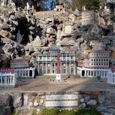
Ave Maria Grotto
31.6 km
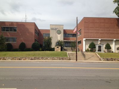
Snead State Community College
46.2 km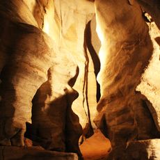
Rickwood Caverns State Park
26 km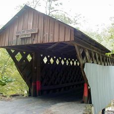
Swann Covered Bridge
3.8 km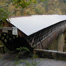
Horton Mill Covered Bridge
13.2 km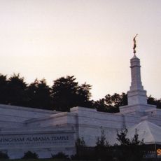
Birmingham Alabama Temple
39.3 km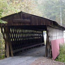
Easley Covered Bridge
6 km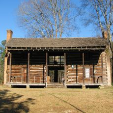
John Looney House
39.6 km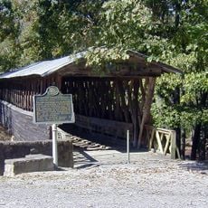
Clarkson–Legg Covered Bridge
46.2 km
Nectar Covered Bridge
4.1 km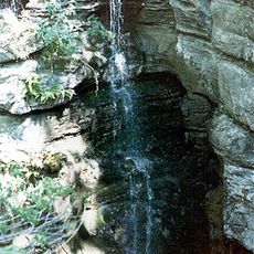
Newsome Sinks Karst Area
52.8 km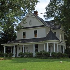
Cullman Historic District
32.6 km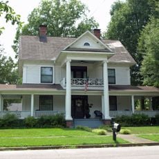
Ernest Edward Greene House
33.3 km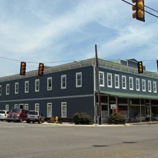
Stiefelmeyer's
33.4 km
Robert G. Griffith, Sr. House
28.9 km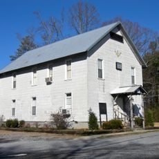
Crane Hill Masonic Lodge
44.9 km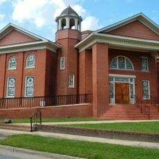
Julia Street Memorial United Methodist Church
46.8 km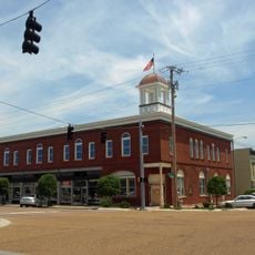
Cullman Downtown Commercial Historic District
33.2 km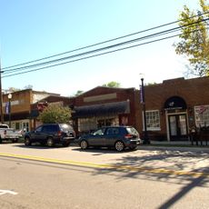
Springville Historic District
23.7 km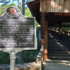
Clarkson Covered Bridge
46.1 km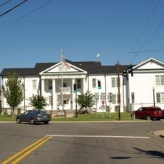
Ashville Historic District
33.8 km
Saratoga Victory Mill
48.6 km
Thomas A. Snellgrove Homestead
46.9 km
Edward Fenns Whitman House
46.7 km
Dr. James J. Bothwell House
33.7 km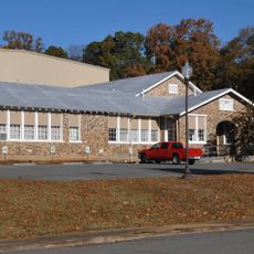
Old Rock School
50 km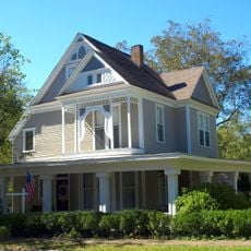
Judge Elisha Robinson House
33.7 km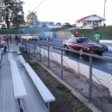
Baileyton Good Time DragStrip
31.3 kmReviews
Visited this place? Tap the stars to rate it and share your experience / photos with the community! Try now! You can cancel it anytime.
Discover hidden gems everywhere you go!
From secret cafés to breathtaking viewpoints, skip the crowded tourist spots and find places that match your style. Our app makes it easy with voice search, smart filtering, route optimization, and insider tips from travelers worldwide. Download now for the complete mobile experience.

A unique approach to discovering new places❞
— Le Figaro
All the places worth exploring❞
— France Info
A tailor-made excursion in just a few clicks❞
— 20 Minutes