Rivera, Border town in northern Uruguay.
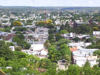
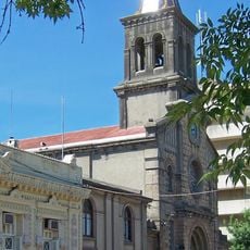
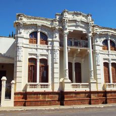
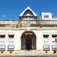
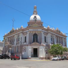
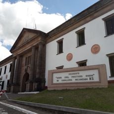
Rivera is a border city in northern Uruguay situated on two hills that connect directly with the Brazilian city of Santana do Livramento at the international boundary. The settlement spans the Santa Ana region and forms a continuous urban area with its Brazilian neighbor across the frontier.
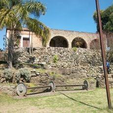
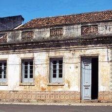
The settlement originated as a small village called Ceballos in 1862 and received its current name in 1867. It subsequently grew into a regional trade center positioned at the Brazilian border.
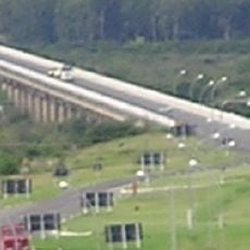
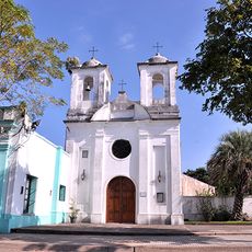
The city shows Brazilian and Uruguayan influences throughout its streets, where daily life blends languages, commerce, and local customs from both nations. The mix is most visible in shops, restaurants, and public spaces where both communities naturally interact.
The city contains many duty-free shops that draw Brazilian customers from Rio Grande do Sul seeking lower prices than those available in Brazil. Visitors should expect busy shopping areas during peak hours due to the high volume of cross-border commerce.
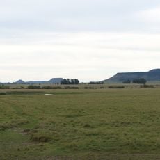
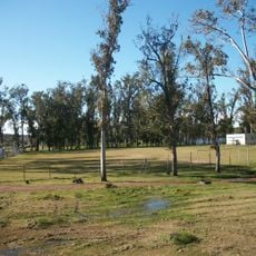
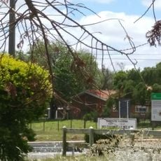
The local economy processes agricultural products from surrounding fertile pasturelands, including rice, sweet potatoes, corn, peanuts, wheat, and various fruits. These raw materials support the regional trade activity that shapes everyday commerce in the city.
Location: Rivera Department
Inception: 1867
Elevation above the sea: 223 m
Shares border with: Santana do Livramento
Website: http://rivera.gub.uy
GPS coordinates: -30.90250,-55.55056
Latest update: December 20, 2025 11:51
Natural Protected Area Valle del Lunarejo
45.6 km
Cerro Batoví
116.8 km
Piedra Pintada
90.4 km
Laguna de las Lavanderas
100.3 km
Rincon de tres cerros
81.2 km
Pozo Hondo
122.4 km
Ponte Marechal José de Abreu
95.3 km
Cathedral of Tacuarembó
98.9 km
Museo Carlos Gardel
118.6 km
Ibirapuitã Biological Reserve
111.1 km
Ibirapuitã Environmental Protection Area
61.7 km
Museo de Artes Visuales de Tacuarembó
98.8 km
Sports museum in Tacuarembó
99.1 km
Parque Natural Regional Valle del Lunarejo
47.3 km
Museo de Geociencias
98.9 km
Parque 25 de Agosto
100.3 km
Museo del Indio y del Gaucho Washington Escobar
99 km
Estadio Goyenola
99.4 km
Antiga Casa do Marechal Bento Manuel Ribeiro de Almeida
126.5 km
Antigas Residências Em Alegrete
126.6 km
Caixa d'Água
84.1 km
Maara - Museu de Arqueologia e Artes
126.6 km
Prefeitura Municipal
84.2 km
Jefatura de Policía, Artigas
103.9 km
Centro de detención del Regimiento de Caballería No. 3
1.1 km
Centro de detención del Regimiento de Caballería No. 10
105.4 km
Museo Parroquial del Templo San Eugenio
104 km
Jefatura de policía de Artigas
103.9 kmVisited this place? Tap the stars to rate it and share your experience / photos with the community! Try now! You can cancel it anytime.
Discover hidden gems everywhere you go!
From secret cafés to breathtaking viewpoints, skip the crowded tourist spots and find places that match your style. Our app makes it easy with voice search, smart filtering, route optimization, and insider tips from travelers worldwide. Download now for the complete mobile experience.
A unique approach to discovering new places❞
— Le Figaro
All the places worth exploring❞
— France Info
A tailor-made excursion in just a few clicks❞
— 20 Minutes