Santo André

Log in to your account

AroundUs is a community-driven map of interesting places, built by curious explorers like you. It grows with every review, story, and photo you share.
Connect to save your favorite spots, contribute locations, and create personalized routes.
Continue with Google
Continue with Apple
Continue with X
Continue with Facebook
Continue with email
By continuing, you accept our Terms and Conditions and our Privacy Policy
Create an account
Add to collection
Map
Suggest a change
Share

Santo André, Industrial municipality in São Paulo, Brazil.

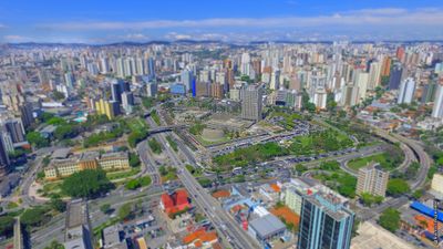
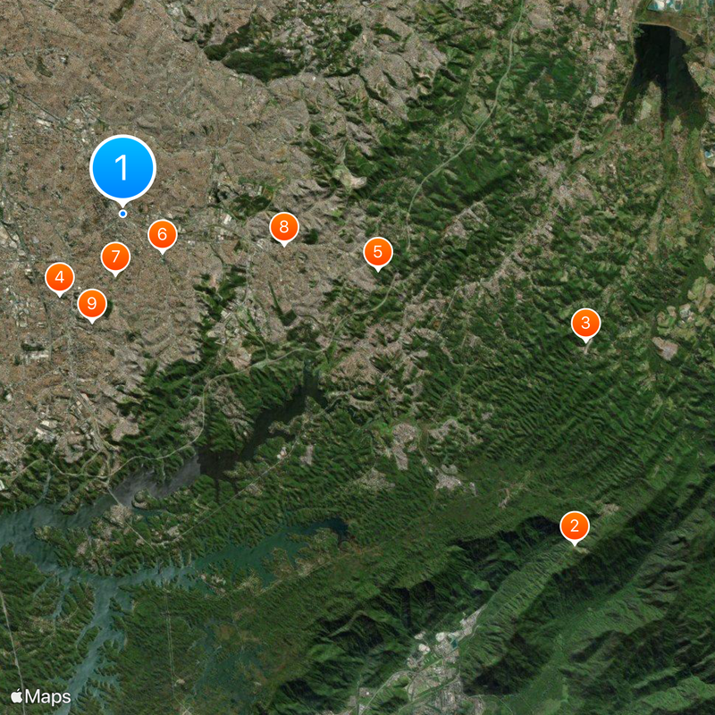
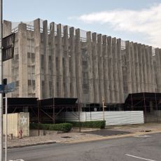
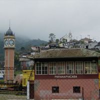
Santo André is a municipality in São Paulo metropolitan area and belongs to the ABC region known for industrial activity. The city extends from the flatter urban zone to forested hills in the southern district of Paranapiacaba, where water protection areas lie.

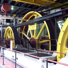
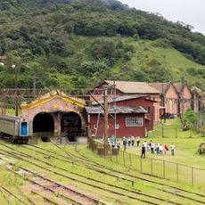
An early hamlet was founded here in the mid-16th century, but the settlement lost importance and disappeared. The present municipality emerged from the 19th century with the construction of the railway to Santos and received official town status in 1938.

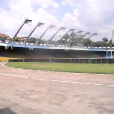
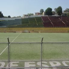
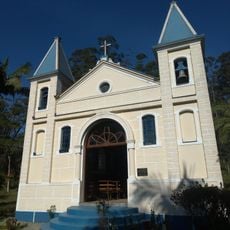
The city carries the name of a saint and grew early as a working town with factories and residential areas for their employees. Traditional markets and restaurants show Brazilian cuisine alongside Italian and Japanese influences that remain present since the immigration waves.

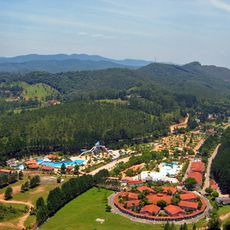
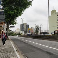
The city can be reached by public transport from São Paulo, and main roads connect the different neighborhoods. Visitors find restaurants, parks, and shops in the center, while Paranapiacaba in the south offers a quieter forest setting.

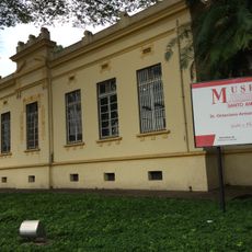
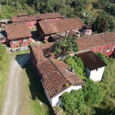
Paranapiacaba still preserves old railway houses in English style from the time when British companies operated the train line. Fog regularly rolls through the southern district and gives it a particular climate.

Location: São Paulo

Inception: November 30, 1938

Elevation above the sea: 700 m

Shares border with: São Paulo, São Bernardo do Campo, Cubatão, Mauá, Mogi das Cruzes, Ribeirão Pires, Rio Grande da Serra, Santos, São Caetano do Sul, Suzano

Website: http://santoandre.sp.gov.br

GPS coordinates: -23.65335,-46.52790

Latest update: December 15, 2025 04:42

Photos
Reviews

Visited this place? Tap the stars to rate it and share your experience / photos with the community! Try now! You can cancel it anytime.

« Santo André - Industrial municipality in São Paulo, Brazil » is provided by Around Us (aroundus.com). Images and texts are derived from Wikimedia project under a Creative Commons license. You are allowed to copy, distribute, and modify copies of this page, under the conditions set by the license, as long as this note is clearly visible.

Discover hidden gems everywhere you go!

From secret cafés to breathtaking viewpoints, skip the crowded tourist spots and find places that match your style. Our app makes it easy with voice search, smart filtering, route optimization, and insider tips from travelers worldwide. Download now for the complete mobile experience.

Around Us App Screenshot

A unique approach to discovering new places

Le Figaro

All the places worth exploring

France Info

A tailor-made excursion in just a few clicks

20 Minutes