Chest opened
+${chestReward.xp} XP
Explorer
NOUVEAU ×${chestReward.collectible.quantity}
tapez pour fermer
Chest locked

Open chests in the app

Around Us is built for your phone — chests unlock when you walk, explore and capture nearby places.

Enable Location

We need your location to show you interesting places around you

Discover nearby places

Find interesting locations and hidden gems around you

Precise directions

Get accurate directions and distances to places

Your location is never shared with other users. It's only used when you tap the location button.

Itamarandiba

Log in to your account

Start exploring — it's free

Trusted by 72,891 travelers worldwide

Continue with Google
Continue with Apple
or

We will send you a code to connect

By continuing, you accept our Terms and Conditions and our Privacy Policy

Check your inbox

We've sent a pincode in your inbox. Please enter the code below.

Discussion Reviews 2 Photos
18.1k Popularity

Itamarandiba, Municipal center in northern Minas Gerais, Brazil

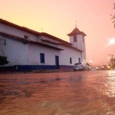
Itamarandiba is a municipality in the northern region of Minas Gerais, extending across the Jequitinhonha area. The location sits at about 1,000 meters elevation and encompasses roughly 2,700 square kilometers of land.

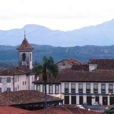
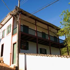
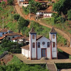
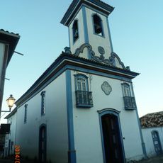
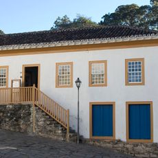
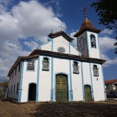
The settlement was founded on June 24, 1675, and received official municipal status in 1862. This elevation transformed it into a significant administrative center for the northern region.

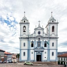
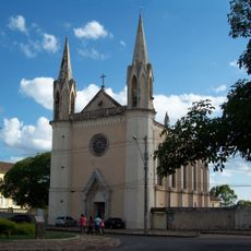
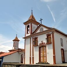
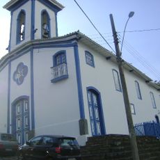
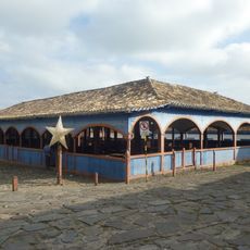
The Festa do Rosário brings together local communities through traditional music, dance performances, and religious ceremonies. These celebrations shape the cultural rhythm here and show how deeply these traditions matter to residents.

The municipality offers various services for visitors seeking local facilities and administrative resources. It helps to learn the location of key offices beforehand and confirm their operating hours.

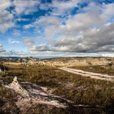
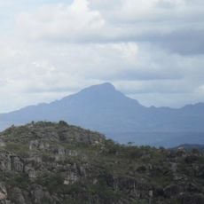
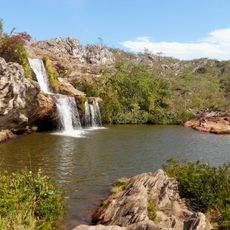
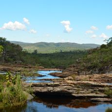
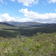
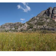
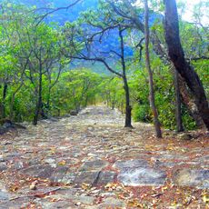
The Serra Negra State Park spans thousands of hectares within the municipality, preserving native vegetation and diverse ecological landscapes. This large protected area reveals the natural diversity that characterizes the region.

The community of curious travelers

AroundUs brings together thousands of curated places, local tips, and hidden gems, enriched daily by 60,000 contributors worldwide.

Start exploring
Location
Inception
June 24, 1675
Elevation above the sea
1,013 m
Shares border with
Aricanduva, Capelinha, Carbonita, Coluna, Felício dos Santos, Frei Lagonegro, Rio Vermelho, São Sebastião do Maranhão, Senador Modestino Gonçalves, Veredinha
GPS coordinates
-17.85694,-42.85889
Latest update
December 7, 2025 19:23
Reviews
Share your experience

No review yet

Discussions
Start a discussion...

No discussion yet

« Itamarandiba - Municipal center in northern Minas Gerais, Brazil » is provided by Around Us (aroundus.com). Images and texts are derived from Wikimedia project under a Creative Commons license. You are allowed to copy, distribute, and modify copies of this page, under the conditions set by the license, as long as this note is clearly visible.

Discover hidden gems everywhere you go!

From secret cafés to breathtaking viewpoints, skip the crowded tourist spots and find places that match your style. Our app makes it easy with voice search, smart filtering, route optimization, and insider tips from travelers worldwide. Download now for the complete mobile experience.

Around Us App Screenshot

A unique approach to discovering new places

Le Figaro

All the places worth exploring

France Info

A tailor-made excursion in just a few clicks

20 Minutes

Around Us
Travel Guide & Maps
Download

Send to your phone

QR Code
1

Open the camera app on your mobile.

2

Point at the QR code with your camera. A notification will appear.

3

Tap the notification to open the link.