Enable Location

We need your location to show you interesting places around you

Discover nearby places

Find interesting locations and hidden gems around you

Precise directions

Get accurate directions and distances to places

Your location is never shared with other users. It's only used when you tap the location button.

Log in to your account

Start exploring — it's free

Trusted by 61,907 travelers worldwide

Continue with Google
Continue with Apple
or

We will send you a code to connect

By continuing, you accept our Terms and Conditions and our Privacy Policy

Check your inbox

We've sent a pincode in your inbox. Please enter the code below.

Sommet de l'Entre-Deux

Sommet de l'Entre-Deux, Mountain summit in Reunion Island, France.

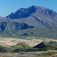
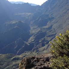
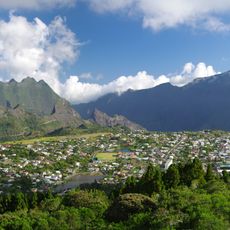
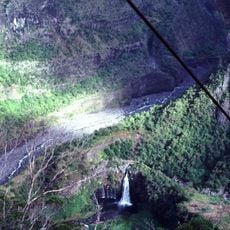
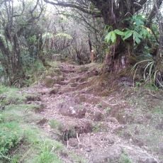
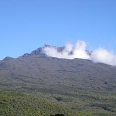
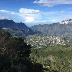
Sommet de l'Entre-Deux is a mountain peak on Reunion Island located at about 2350 meters within the Piton des Neiges massif. This summit forms a distinctive point in the island's high-altitude landscape and can be approached from different trails.

The peak marks the boundary where three municipalities of Reunion Island meet: Cilaos, Entre-Deux, and Saint-Benoit, establishing its role in the island's geographical divisions. This position at the intersection of territorial limits has shaped its local significance.

Local communities of Reunion Island regard this summit as a significant geographical landmark within the Piton des Neiges massif, reflecting the natural heritage of the region.

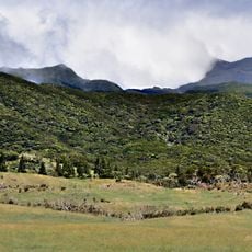
Reaching this peak requires good physical conditioning and proper equipment to handle changing weather conditions at high altitude. Visitors should prepare for sudden weather shifts and strong winds that are common at this elevation.

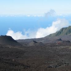
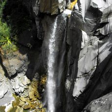
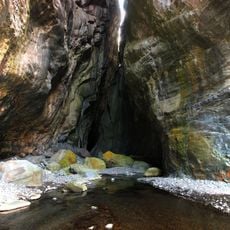
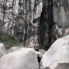
The peak displays distinctive lava rock formations characteristic of Reunion's volcanic geology. These rock formations tell the story of the island's intense volcanic past.

The community of curious travelers

AroundUs brings together thousands of curated places, local tips, and hidden gems, enriched daily by 60,000 contributors worldwide.

Start exploring
GPS coordinates
-21.14050,55.50649
Latest update
December 14, 2025 20:24
« Sommet de l'Entre-Deux - Mountain summit in Reunion Island, France » is provided by Around Us (aroundus.com). Images and texts are derived from Wikimedia project under a Creative Commons license. You are allowed to copy, distribute, and modify copies of this page, under the conditions set by the license, as long as this note is clearly visible.

Discover hidden gems everywhere you go!

From secret cafés to breathtaking viewpoints, skip the crowded tourist spots and find places that match your style. Our app makes it easy with voice search, smart filtering, route optimization, and insider tips from travelers worldwide. Download now for the complete mobile experience.

Around Us App Screenshot

A unique approach to discovering new places

Le Figaro

All the places worth exploring

France Info

A tailor-made excursion in just a few clicks

20 Minutes

Around Us
Travel Guide & Maps
Download

Send to your phone

QR Code
1

Open the camera app on your mobile.

2

Point at the QR code with your camera. A notification will appear.

3

Tap the notification to open the link.