Chest opened
+${chestReward.xp} XP
Explorer
NOUVEAU ×${chestReward.collectible.quantity}
tapez pour fermer
Chest locked

Open chests in the app

Around Us is built for your phone — chests unlock when you walk, explore and capture nearby places.

Enable Location

We need your location to show you interesting places around you

Discover nearby places

Find interesting locations and hidden gems around you

Precise directions

Get accurate directions and distances to places

Your location is never shared with other users. It's only used when you tap the location button.

The Rip

Log in to your account

Start exploring — it's free

Trusted by 72,878 travelers worldwide

Continue with Google
Continue with Apple
or

We will send you a code to connect

By continuing, you accept our Terms and Conditions and our Privacy Policy

Check your inbox

We've sent a pincode in your inbox. Please enter the code below.

The Rip
Discussion Reviews 1 Photos
12k Popularity

The Rip, Strait between Bass Strait and Port Phillip Bay, Victoria, Australia

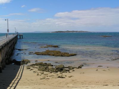
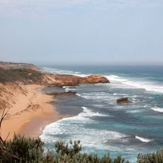
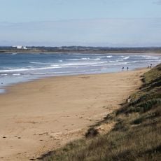
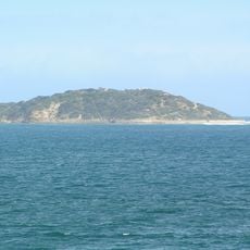
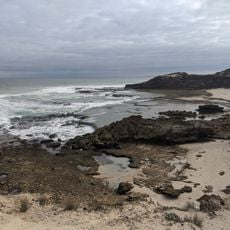
The Rip is the narrow passage between Point Lonsdale and Point Nepean that connects Bass Strait with Port Phillip Bay. The seabed shifts from deep to shallow water, creating hazardous zones where reef formations reduce the safe passage.

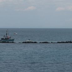
Early European explorers in 1802 documented the dangers of navigating these waters for the first time. Strong currents shaped its reputation as a treacherous passage that required experienced seamanship.

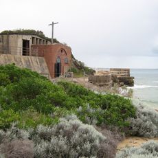
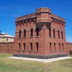
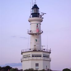
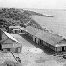
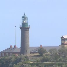
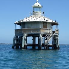
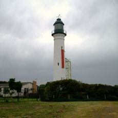
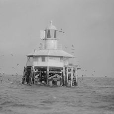
Navigation control through The Rip operates from Point Lonsdale Signal Station, requiring qualified pilots to guide large vessels through the entrance.

Water conditions shift dramatically between high and low tide, creating different flow patterns and movement in the strait. Planning your visit around tidal times gives a better sense of how the passage works and behaves.

A swimmer crossed the passage in under an hour back in 1971, revealing just how close the two headlands actually are. This feat demonstrates the narrow width that makes the strait feel almost within arm's reach from either shore.

The community of curious travelers

AroundUs brings together thousands of curated places, local tips, and hidden gems, enriched daily by 60,000 contributors worldwide.

Start exploring
Location
GPS coordinates
-38.28750,144.63722
Latest update
December 7, 2025 20:47
Reviews
Share your experience

No review yet

Discussions
Start a discussion...

No discussion yet

« The Rip - Strait between Bass Strait and Port Phillip Bay, Victoria, Australia » is provided by Around Us (aroundus.com). Images and texts are derived from Wikimedia project under a Creative Commons license. You are allowed to copy, distribute, and modify copies of this page, under the conditions set by the license, as long as this note is clearly visible.

Discover hidden gems everywhere you go!

From secret cafés to breathtaking viewpoints, skip the crowded tourist spots and find places that match your style. Our app makes it easy with voice search, smart filtering, route optimization, and insider tips from travelers worldwide. Download now for the complete mobile experience.

Around Us App Screenshot

A unique approach to discovering new places

Le Figaro

All the places worth exploring

France Info

A tailor-made excursion in just a few clicks

20 Minutes

Around Us
Travel Guide & Maps
Download

Send to your phone

QR Code
1

Open the camera app on your mobile.

2

Point at the QR code with your camera. A notification will appear.

3

Tap the notification to open the link.