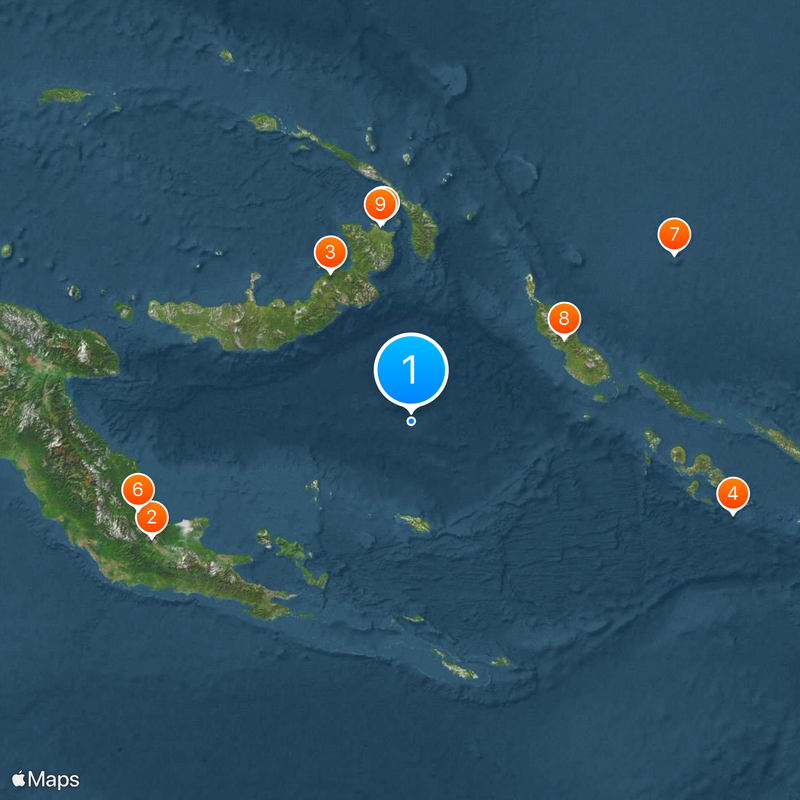
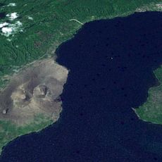
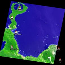
Solomon Sea, Sea between Papua New Guinea and Solomon Islands, Pacific Ocean
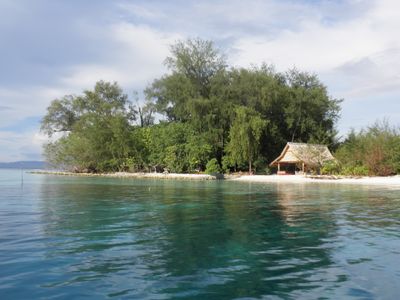
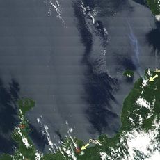
The Solomon Sea sits between Papua New Guinea and Solomon Islands in the Pacific, forming a large body of water with several deep basins. Its seafloor contains underwater mountain ranges and valleys that shape the marine environment.
Spanish navigator Álvaro de Mendaña de Neira sailed through these waters in 1567, becoming one of the first Europeans to explore this Pacific region. His voyage opened the door to future European contact with the islands.
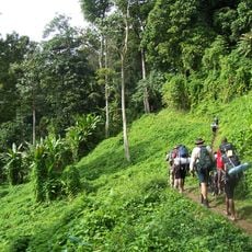
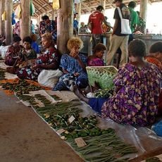
Local communities depend on these waters for their way of life, with fishing and ocean knowledge passed down through families across both regions.
Ocean currents shift direction between July and September, affecting water conditions in different ways. Plan your visit outside these months for more stable and predictable sea conditions.
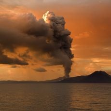
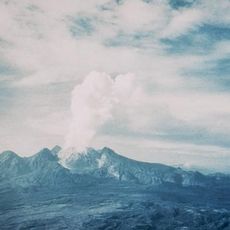
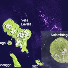
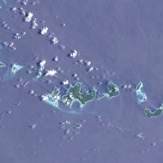
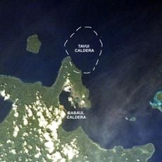
The northern section contains underwater mountains and trenches that plunge to extreme depths, yet these underwater features remain largely unexplored and unnoticed by most visitors. Their hidden presence shapes ocean currents and marine life in ways most people never see.
The community of curious travelers
AroundUs brings together thousands of curated places, local tips, and hidden gems, enriched daily by 60,000 contributors worldwide.