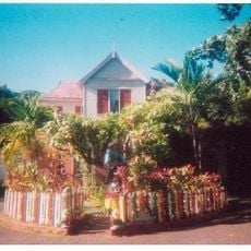
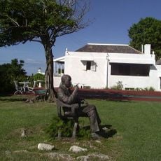
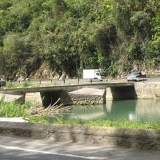
Saint Mary Parish, Administrative division in northeastern Jamaica
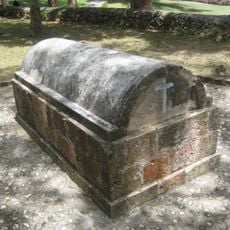
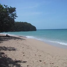
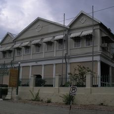
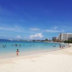
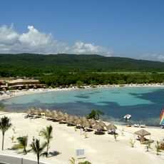
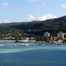
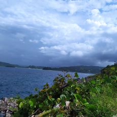
Saint Mary Parish is an administrative region in northeastern Jamaica stretching between the Caribbean Sea and the Blue Mountains, with Port Maria serving as its main town. The parish is divided into multiple districts, each organized to serve the various communities spread across the territory.
The region was formed in 1867 when it merged with Metcalfe Parish, building on earlier Spanish colonial settlement known as Puerto Santa Maria. This administrative change established the structure that continues today.
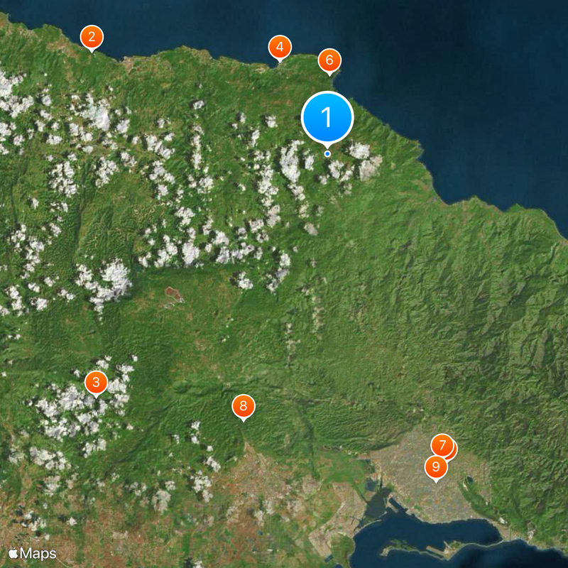
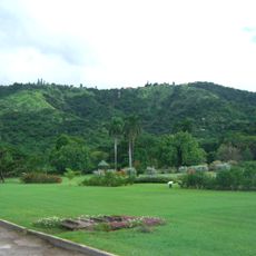
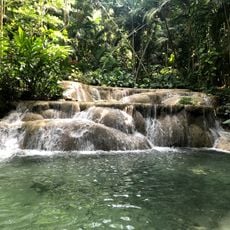
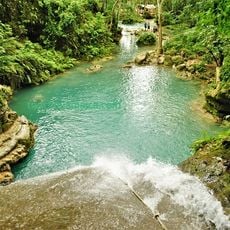
The region's economy and daily life revolve around farming, with banana, coconut, and coffee cultivation shaping how communities work and interact. This agricultural foundation remains visible in how people organize their time and use the landscape.
The region is easiest to explore during drier seasons when roads are more accessible and travel between communities is smoother. Knowing about the different districts helps plan visits to specific areas since settlements are spread across the parish.
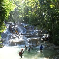
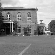
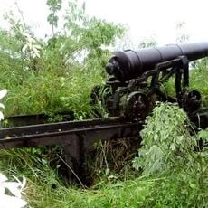
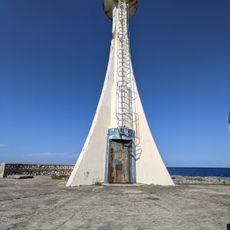
Fort Haldane, built in 1759, contains a hidden tunnel system that once connected to Sir Henry Morgan's residence. These underground passages reveal how colonial defenses were designed with secret escape routes for important officials.
The community of curious travelers
AroundUs brings together thousands of curated places, local tips, and hidden gems, enriched daily by 60,000 contributors worldwide.