Enable Location

We need your location to show you interesting places around you

Discover nearby places

Find interesting locations and hidden gems around you

Precise directions

Get accurate directions and distances to places

Your location is never shared with other users. It's only used when you tap the location button.

Colonial City of Santo Domingo

Log in to your account

Start exploring — it's free

Trusted by 61,519 travelers worldwide

Continue with Google
Continue with Apple
or

We will send you a code to connect

By continuing, you accept our Terms and Conditions and our Privacy Policy

Check your inbox

We've sent a pincode in your inbox. Please enter the code below.

Colonial City of Santo Domingo

Colonial City of Santo Domingo, First permanent European settlement in Santo Domingo, Dominican Republic.

Description

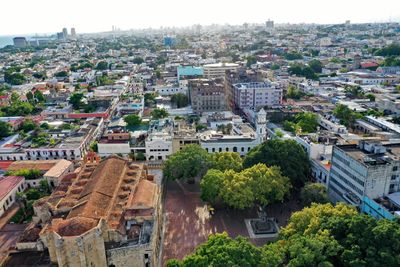
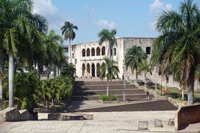
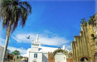
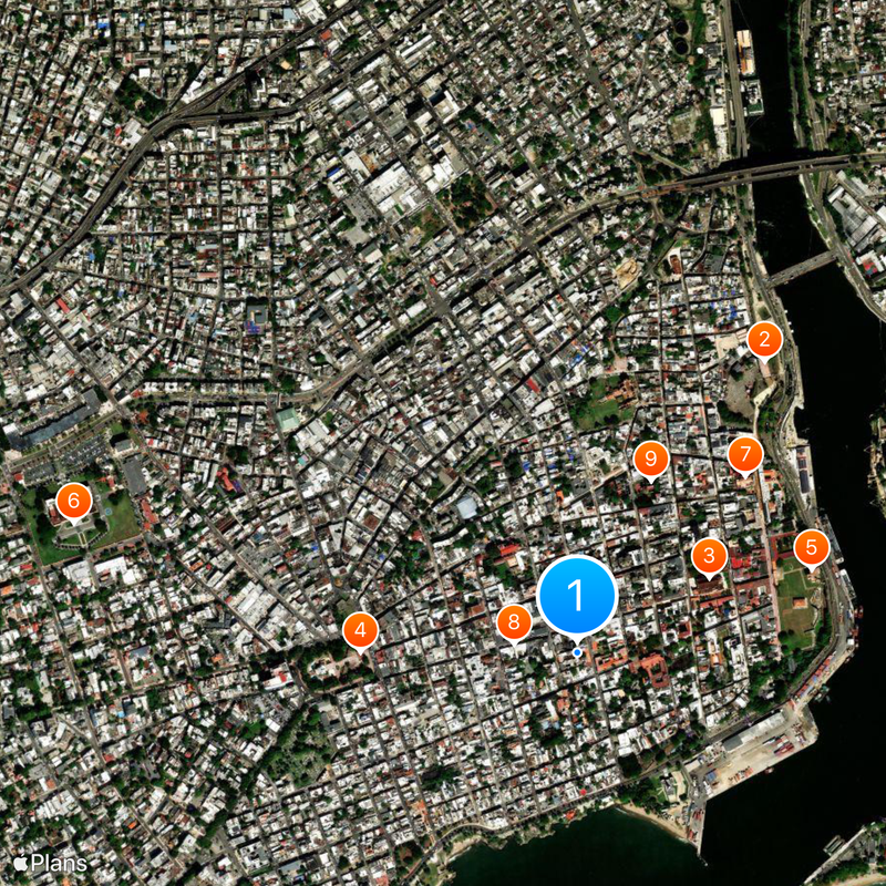
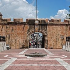
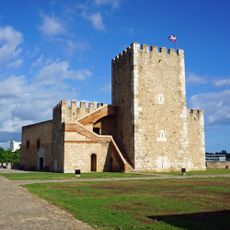
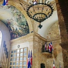
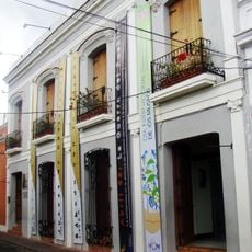
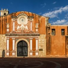
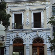
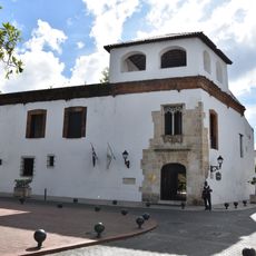
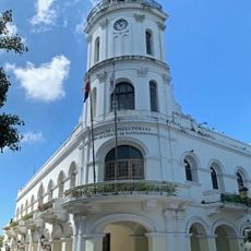
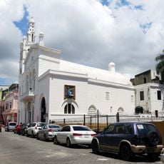
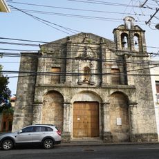
The Colonial City of Santo Domingo is an old town center with stone buildings, fortifications, churches and public squares in Santo Domingo, Dominican Republic. The area follows a grid pattern with paved streets and contains homes, shops and museums spread across more than a hundred blocks.

History

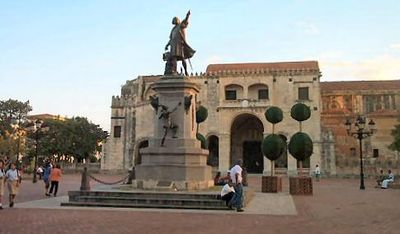
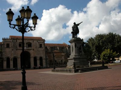
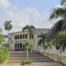
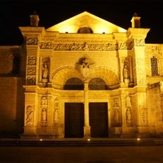
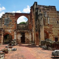
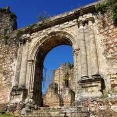
Bartholomew Columbus founded the settlement in 1496 as the first permanent administrative center of the Spanish crown on the American continent. Later, fortifications and churches were added to secure the colony and expand religious presence.

Culture

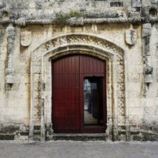
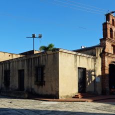
Residents walk through streets that have kept the same shape for five centuries, while houses with inner courtyards built in the old Spanish style now serve as homes, shops and small hotels. Wooden balconies hang over the sidewalks and offer shade, as was common in colonial Caribbean towns.

Practical

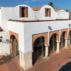
The pedestrian zone Calle del Conde connects central points and makes it easier to find your way while walking through the paved lanes. Many buildings are open to visitors, while some streets become busier during weekends.

Did you know?

Some buildings show stone cannonballs lodged in the walls, left from pirate attacks in the 16th century and never removed. Calle de las Damas kept its name because court ladies used to walk there when the governors lived in the viceregal building.

Location
GPS coordinates
18.47148,-69.88682
Latest update
December 12, 2025 18:02

AroundUs brings together thousands of curated places, local tips, and hidden gems, enriched daily by 60,000 contributors worldwide. Discover all places nearby (Santo Domingo).

Photographic locations in Dominican Republic

The Dominican Republic draws photographers with its range of landscapes and subjects. Along the coast, long stretches of sand beaches appear, some with calm water, others with waves that attract surfers. Inland, trails lead to waterfalls that drop over rocks into natural pools, while caves and...

« Colonial City of Santo Domingo - First permanent European settlement in Santo Domingo, Dominican Republic » is provided by Around Us (aroundus.com). Images and texts are derived from Wikimedia project under a Creative Commons license. You are allowed to copy, distribute, and modify copies of this page, under the conditions set by the license, as long as this note is clearly visible.

Discover hidden gems everywhere you go!

From secret cafés to breathtaking viewpoints, skip the crowded tourist spots and find places that match your style. Our app makes it easy with voice search, smart filtering, route optimization, and insider tips from travelers worldwide. Download now for the complete mobile experience.

Around Us App Screenshot

A unique approach to discovering new places

Le Figaro

All the places worth exploring

France Info

A tailor-made excursion in just a few clicks

20 Minutes

Around Us
Travel Guide & Maps
Download

Send to your phone

QR Code
1

Open the camera app on your mobile.

2

Point at the QR code with your camera. A notification will appear.

3

Tap the notification to open the link.