Chest opened
+${chestReward.xp} XP
Explorer
NOUVEAU ×${chestReward.collectible.quantity}
tapez pour fermer
Chest locked

Open chests in the app

Around Us is built for your phone — chests unlock when you walk, explore and capture nearby places.

Enable Location

We need your location to show you interesting places around you

Discover nearby places

Find interesting locations and hidden gems around you

Precise directions

Get accurate directions and distances to places

Your location is never shared with other users. It's only used when you tap the location button.

Nokomis

Log in to your account

Start exploring — it's free

Trusted by 72,884 travelers worldwide

Continue with Google
Continue with Apple
or

We will send you a code to connect

By continuing, you accept our Terms and Conditions and our Privacy Policy

Check your inbox

We've sent a pincode in your inbox. Please enter the code below.

Discussion Reviews 1 Photos
26.1k Popularity

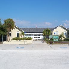
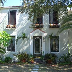
Nokomis, Census-designated place in Sarasota County, Florida

Nokomis is a small community situated along Florida's Gulf Coast between two larger neighboring towns, comprising both mainland and barrier island sections. A natural waterway separates these two parts of the settlement, creating distinct geographic zones.

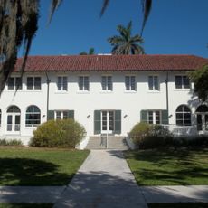
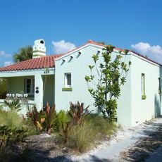
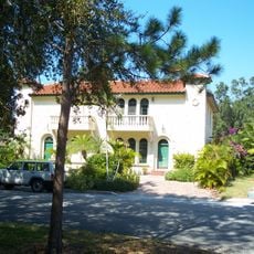
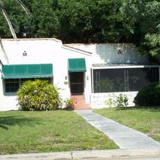
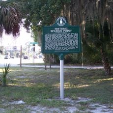
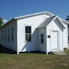
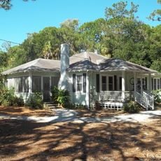
The area was first settled in the late 1800s when families established ranching operations inland following the Civil War period. Over time, the inland settlement gradually transformed into the waterfront community that exists today.

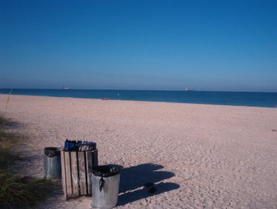
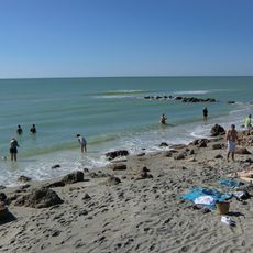
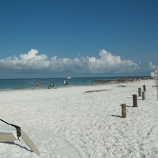
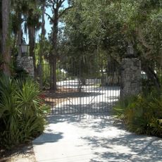
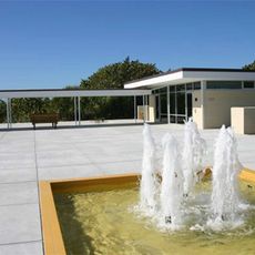
The community's identity centers on its waterfront, where the public beach and barrier island create gathering spaces for residents and visitors alike. Water-based activities shape how people experience and spend time here.

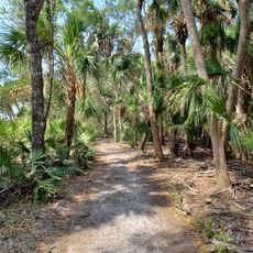
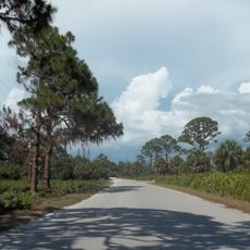
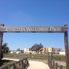
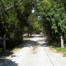
A paved recreational trail runs through the settlement, offering visitors an easy way to explore the area on foot or by bike. The path connects different neighborhoods and remains accessible to most visitors regardless of fitness level.

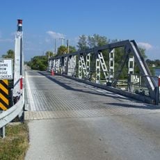
A natural shipping canal creates a clear geographic boundary between the mainland section and the offshore island portion of the settlement. This water division has shaped how the community developed as two connected yet distinct areas.

The community of curious travelers

AroundUs brings together thousands of curated places, local tips, and hidden gems, enriched daily by 60,000 contributors worldwide.

Start exploring
Location
Elevation above the sea
3 m
GPS coordinates
27.12361,-82.43889
Latest update
December 20, 2025 15:40
Around this place
Myakka River State Park
United States of America

Myakka River State Park

17.7 km
Warm Mineral Springs
United States of America

Warm Mineral Springs

19.1 km
Oscar Scherer State Park
United States of America

Oscar Scherer State Park

6.3 km
Blackburn Point Bridge
United States of America

Blackburn Point Bridge

8.3 km
Epiphany Cathedral
United States of America

Epiphany Cathedral

2.7 km
Hotel Venice
United States of America

Hotel Venice

3 km
Caspersen Beach
United States of America

Caspersen Beach

7.6 km
Venetian Waterway Park
United States of America

Venetian Waterway Park

2.4 km
Sanderling Beach Club
United States of America

Sanderling Beach Club

15.9 km
Blalock House
United States of America

Blalock House

3.2 km
Edson Keith Estate
United States of America

Edson Keith Estate

18.8 km
Venezia Park Historic District
United States of America

Venezia Park Historic District

3.6 km
Armada Road Multi-Family District
United States of America

Armada Road Multi-Family District

3.2 km
John Nolen Plan of Venice Historic District
United States of America

John Nolen Plan of Venice Historic District

3.1 km
Dr. C. B. Wilson House
United States of America

Dr. C. B. Wilson House

18.1 km
Eagle Point Historic District
United States of America

Eagle Point Historic District

1.8 km
Edgewood Historic District
United States of America

Edgewood Historic District

3.2 km
Osprey Archeological and Historic Site
United States of America

Osprey Archeological and Historic Site

10.6 km
House at 710 Armada Road South
United States of America

House at 710 Armada Road South

3 km
Osprey School
United States of America

Osprey School

10.1 km
Johnson Chapel Missionary Baptist Church
United States of America

Johnson Chapel Missionary Baptist Church

1.2 km
Nokomis Beach Pavilion
United States of America

Nokomis Beach Pavilion

3.1 km
Maine Colony Historic District
United States of America

Maine Colony Historic District

19.1 km
Levillain-Letton House
United States of America

Levillain-Letton House

3.1 km
Bee Ridge Woman's Club
United States of America

Bee Ridge Woman's Club

18.1 km
Lucienne Nielsen House
United States of America

Lucienne Nielsen House

7.9 km
Waters and Elsa Burrows Historic District
United States of America

Waters and Elsa Burrows Historic District

10.3 km
Johnson Schoolcraft Building
United States of America

Johnson Schoolcraft Building

2.5 km
Show the full map
Reviews
Share your experience

No review yet

Discussions
Start a discussion...

No discussion yet

« Nokomis - Census-designated place in Sarasota County, Florida » is provided by Around Us (aroundus.com). Images and texts are derived from Wikimedia project under a Creative Commons license. You are allowed to copy, distribute, and modify copies of this page, under the conditions set by the license, as long as this note is clearly visible.

Discover hidden gems everywhere you go!

From secret cafés to breathtaking viewpoints, skip the crowded tourist spots and find places that match your style. Our app makes it easy with voice search, smart filtering, route optimization, and insider tips from travelers worldwide. Download now for the complete mobile experience.

Around Us App Screenshot

A unique approach to discovering new places

Le Figaro

All the places worth exploring

France Info

A tailor-made excursion in just a few clicks

20 Minutes

Around Us
Travel Guide & Maps
Download

Send to your phone

QR Code
1

Open the camera app on your mobile.

2

Point at the QR code with your camera. A notification will appear.

3

Tap the notification to open the link.