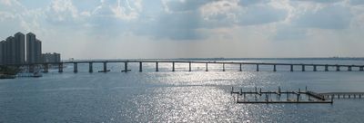
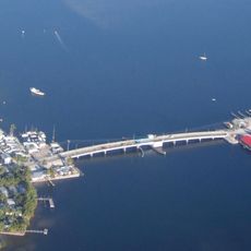
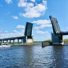
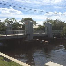
Caloosahatchee Bridge, Road bridge spanning the Caloosahatchee River in Fort Myers, United States
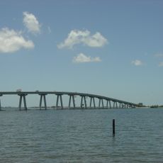
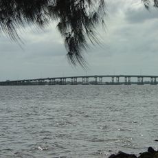
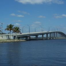
The Caloosahatchee Bridge is a road bridge over the Caloosahatchee River in Fort Myers, Florida, linking North Fort Myers to the downtown area. It carries four lanes of traffic as part of U.S. Highway 41, making it one of the main crossings in the county.
The bridge opened in 1964, replacing an older two-lane drawbridge that could no longer handle the growing volume of traffic. Its construction also shifted the route of U.S. Highway 41 away from downtown Fort Myers.
The bridge carries the official name Henry Ford Bridge, given by the city of Fort Myers in 2014 to honor the industrialist who had a winter home nearby. Locals often still refer to it simply by its river name, so both names are used in everyday conversation.
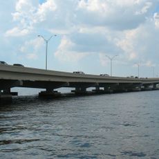
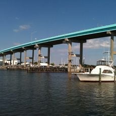
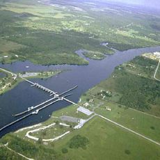
Crossing the bridge is free for all vehicles traveling on U.S. Highway 41. Anyone planning to cross on foot or by bike should check current conditions in advance, as ongoing renovation work can lead to temporary closures.
Despite being a major crossing on a federal highway, the bridge currently has no safe pedestrian path from one side to the other. The ongoing renovation is specifically aimed at fixing this by adding a sidewalk on the west side, which will be the first of its kind on this structure.
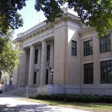
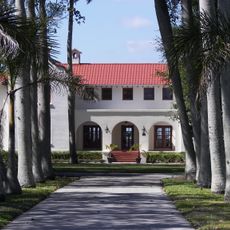
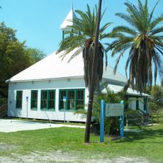
The community of curious travelers
AroundUs brings together thousands of curated places, local tips, and hidden gems, enriched daily by 60,000 contributors worldwide.