Enable Location

We need your location to show you interesting places around you

Discover nearby places

Find interesting locations and hidden gems around you

Precise directions

Get accurate directions and distances to places

Your location is never shared with other users. It's only used when you tap the location button.

Lee County

Log in to your account

Start exploring — it's free

Trusted by 62,131 travelers worldwide

Continue with Google
Continue with Apple
or

We will send you a code to connect

By continuing, you accept our Terms and Conditions and our Privacy Policy

Check your inbox

We've sent a pincode in your inbox. Please enter the code below.

Lee County, County in Southwest Florida, US.

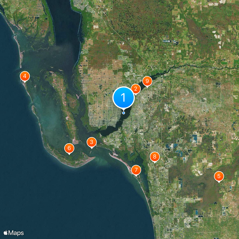
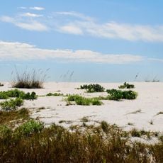
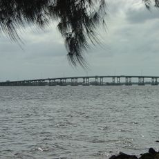
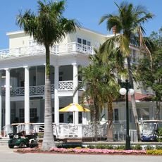
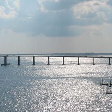
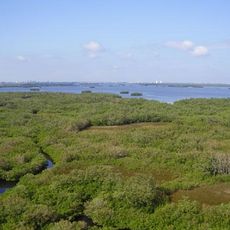
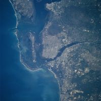
Lee County is a coastal area in Southwest Florida that includes the cities of Fort Myers and Cape Coral, with wide water surfaces along the Gulf of Mexico. The region stretches across mainland neighborhoods, barrier islands, and an extensive network of canals that shape the urban and coastal landscape.

The county was established in 1887 from parts of Monroe County and named after Robert E. Lee. Archaeological evidence shows that the Calusa lived here for centuries before European settlement began.

The county takes its name from Confederate General Robert E. Lee, reflecting the post-Civil War era in which it was formed. Today, residents speak both English and Spanish, showing the influence of Latin American communities in daily life.

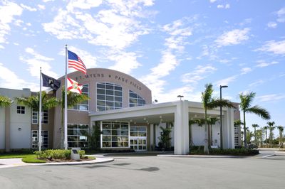
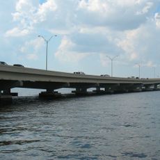
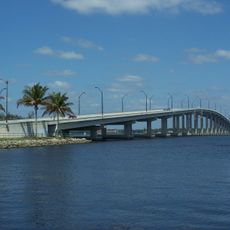
Interstate 75 runs through the area and connects it to other parts of Florida both north and south. Southwest Florida International Airport serves as a major arrival point for visitors from across the country.

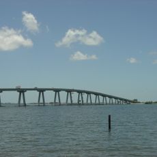
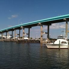
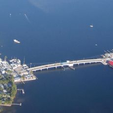
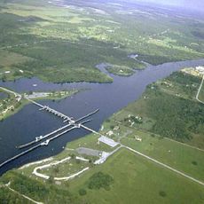
The coastline features numerous natural and man-made waterways that reach deep into the mainland. Many homes and neighborhoods are built so that boats can travel directly from private docks to open water.

The community of curious travelers

AroundUs brings together thousands of curated places, local tips, and hidden gems, enriched daily by 60,000 contributors worldwide.

Start exploring
Location
Inception
May 13, 1887
Capital city
Fort Myers
Reference
12-071
Shares border with
Charlotte County, Glades County, Collier County, Hendry County
GPS coordinates
26.58000,-81.92000
Latest update
December 15, 2025 00:03
Around this place
Edison and Ford Winter Estates
United States of America

Edison and Ford Winter Estates

7.2 km
Sanibel Causeway
United States of America

Sanibel Causeway

15.6 km
Cayo Costa State Park
United States of America

Cayo Costa State Park

34.1 km
Corkscrew Swamp Sanctuary
United States of America

Corkscrew Swamp Sanctuary

38.8 km
J.N. "Ding" Darling National Wildlife Refuge
United States of America

J.N. "Ding" Darling National Wildlife Refuge

22.5 km
Lovers Key State Park
United States of America

Lovers Key State Park

21.1 km
Koreshan State Historic Site
United States of America

Koreshan State Historic Site

19.3 km
Terry Park Ballfield
United States of America

Terry Park Ballfield

11.6 km
Sanibel Island Light
United States of America

Sanibel Island Light

17 km
United States of America

Mound Key Archeological State Park

18.4 km
Cape Coral Bridge
United States of America

Cape Coral Bridge

2.3 km
Midpoint Memorial Bridge
United States of America

Midpoint Memorial Bridge

3 km
Gasparilla Inn Historic District
United States of America

Gasparilla Inn Historic District

39 km
Edison Bridge
United States of America

Edison Bridge

9.4 km
Bailey-Matthews Shell Museum
United States of America

Bailey-Matthews Shell Museum

23.9 km
Murphy-Burroughs House
United States of America

Murphy-Burroughs House

9.2 km
Matanzas Pass Bridge
United States of America

Matanzas Pass Bridge

14.1 km
Gasparilla Island State Park
United States of America

Gasparilla Island State Park

38 km
Caloosahatchee Bridge
United States of America

Caloosahatchee Bridge

8.6 km
Fort Myers Downtown Commercial District
United States of America

Fort Myers Downtown Commercial District

8.8 km
Gasperilla Island Lighthouse
United States of America

Gasperilla Island Lighthouse

38.6 km
United States of America

Bonita Beach Causeway

19.9 km
Matlacha Bridge
United States of America

Matlacha Bridge

15.9 km
United States of America

Estero Bay Preserve State Park

21.3 km
Franklin Lock and Dam
United States of America

Franklin Lock and Dam

27.6 km
United States of America

Matlacha Pass National Wildlife Refuge

15.3 km
Sun Splash Family Waterpark
United States of America

Sun Splash Family Waterpark

8.8 km
United States of America

Six Mile Cypress Slough Preserve

9.8 km
Show the full map
Administrative divisions
« Lee County - County in Southwest Florida, US » is provided by Around Us (aroundus.com). Images and texts are derived from Wikimedia project under a Creative Commons license. You are allowed to copy, distribute, and modify copies of this page, under the conditions set by the license, as long as this note is clearly visible.

Discover hidden gems everywhere you go!

From secret cafés to breathtaking viewpoints, skip the crowded tourist spots and find places that match your style. Our app makes it easy with voice search, smart filtering, route optimization, and insider tips from travelers worldwide. Download now for the complete mobile experience.

Around Us App Screenshot

A unique approach to discovering new places

Le Figaro

All the places worth exploring

France Info

A tailor-made excursion in just a few clicks

20 Minutes

Around Us
Travel Guide & Maps
Download

Send to your phone

QR Code
1

Open the camera app on your mobile.

2

Point at the QR code with your camera. A notification will appear.

3

Tap the notification to open the link.