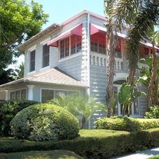
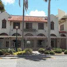
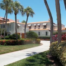
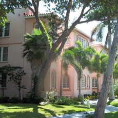
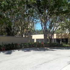
Harding Circle Historic District, Historic district on St Armands Key, Sarasota, US.
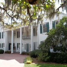
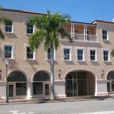
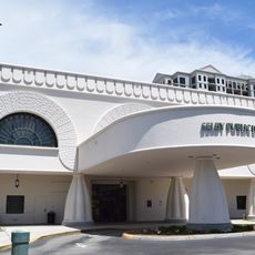
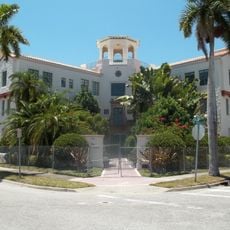
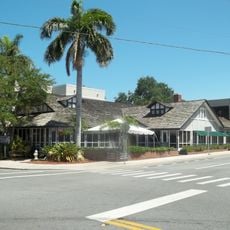
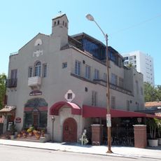
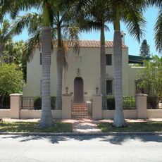
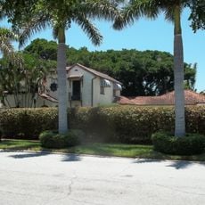
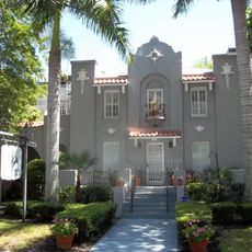
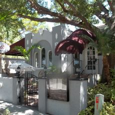
Harding Circle Historic District is a neighborhood on St. Armands Key featuring Mediterranean-style buildings arranged around an oval central park. A network of tree-lined avenues with presidential names connects shops, restaurants, and residences in a geometric street layout.
The area was developed in the 1920s by John Ringling and Owen Burns, who transformed a natural barrier island into a residential and commercial neighborhood through land reclamation. This project reflected Sarasota's growth during the real estate boom of that era.
Harding Circle is named for Warren G. Harding, U.S. president when Owen Burns and John Ringling laid out the "Ringling Isles" roads in the early 1920s. The surrounding streets follow the same presidential convention, and the main north-south road is called Avenue of the Presidents.
The neighborhood is best explored on foot, with shops and restaurants spread along the main avenues for easy access. Given the tropical climate, visitors should bring sun protection and plan their walk during the cooler morning or evening hours.
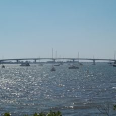
Owen Burns supplied most of the dredged fill that enlarged the natural barrier islands, and he also built the original causeway linking St. Armands Key to downtown Sarasota. That road leads to and around Harding Circle, then on to a bridge to the larger part of Lido Key.
The community of curious travelers
AroundUs brings together thousands of curated places, local tips, and hidden gems, enriched daily by 94,229 contributors worldwide.