Enable Location

We need your location to show you interesting places around you

Discover nearby places

Find interesting locations and hidden gems around you

Precise directions

Get accurate directions and distances to places

Your location is never shared with other users. It's only used when you tap the location button.

Putnam County

Log in to your account

Start exploring — it's free

Trusted by 61,674 travelers worldwide

Continue with Google
Continue with Apple
or

We will send you a code to connect

By continuing, you accept our Terms and Conditions and our Privacy Policy

Check your inbox

We've sent a pincode in your inbox. Please enter the code below.

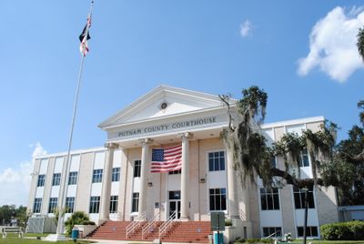
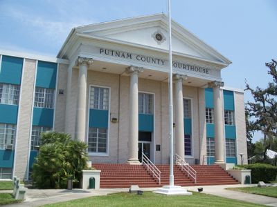
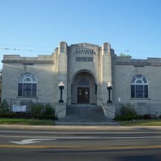
Putnam County, Administrative division in Georgia, United States

Description

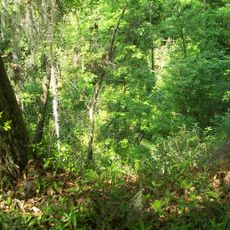
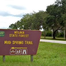
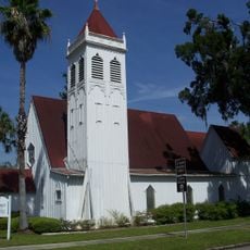
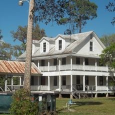
Putnam County is an administrative division in Florida that spreads across coastal areas, wetlands, and smaller towns along its landscape. The territory blends natural water systems with residential and commercial zones that define the region.

History

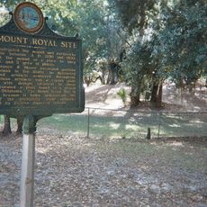
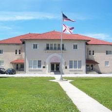
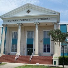
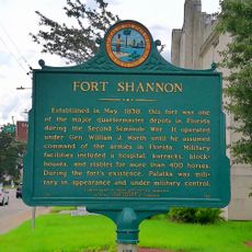
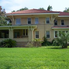
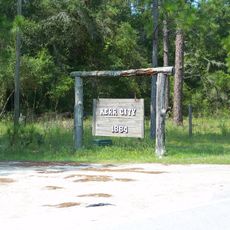
The county was established in the mid-1800s and named after a figure from early American history. Its growth was shaped by river trade routes and later by railroad connections that brought commerce to the area.

Culture

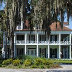
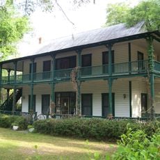
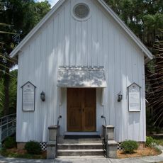
The county preserves its literary heritage through sites connected to authors Alice Walker and Joel Chandler Harris, who lived and wrote in this region.

Practical

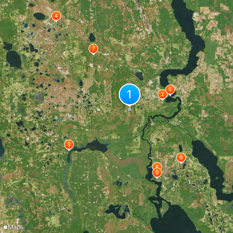
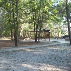
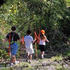
Visitors can explore the area by car, as most places are connected by road networks. The scattered communities offer amenities like restaurants and shops distributed throughout the region.

Did you know?

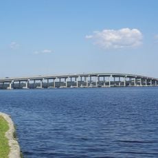
The county borders the St. Johns River, one of the longest rivers in the southeastern United States, which has shaped local history and landscape. This waterway was long an important route for early settlers and continues to define the area's natural character today.

Location
Inception
January 18, 1849
Capital city
Palatka
Shares border with
Clay County, St. Johns County, Flagler County, Volusia County, Marion County, Alachua County, Bradford County
GPS coordinates
29.61000,-81.74000
Latest update
December 19, 2025 23:48

AroundUs brings together thousands of curated places, local tips, and hidden gems, enriched daily by 60,000 contributors worldwide. Discover all places nearby (Florida).

Around this place
Ravine Gardens State Park
United States of America

Ravine Gardens State Park

9.6 km
United States of America

Rodman Reservoir

20.6 km
Mike Roess Gold Head Branch State Park
United States of America

Mike Roess Gold Head Branch State Park

32.2 km
Memorial Bridge
United States of America

Memorial Bridge

12 km
Dunns Creek
United States of America

Dunns Creek

20.9 km
Etoniah Creek State Forest
United States of America

Etoniah Creek State Forest

18.5 km
Welaka State Forest
United States of America

Welaka State Forest

19.4 km
Mount Royal
United States of America

Mount Royal

20.8 km
Bronson-Mulholland House
United States of America

Bronson-Mulholland House

11.7 km
Central Academy
United States of America

Central Academy

10.9 km
St. Mark's Episcopal Church
United States of America

St. Mark's Episcopal Church

11.5 km
Hastings High School
United States of America

Hastings High School

25.4 km
United States of America

Wings of Dreams Aviation Museum

39 km
Putnam County Courthouse
United States of America

Putnam County Courthouse

11.1 km
Fort Shannon
United States of America

Fort Shannon

9.6 km
Larimer Memorial Library
United States of America

Larimer Memorial Library

11.4 km
United States of America

Deep Creek Conservation Area

27.9 km
United States of America

Little Lake George Wilderness

17.2 km
Crescent City Historic District
United States of America

Crescent City Historic District

29.9 km
James W. Townsend House
United States of America

James W. Townsend House

22.8 km
Trinity Episcopal Church
United States of America

Trinity Episcopal Church

31.1 km
Melrose Historic District
United States of America

Melrose Historic District

32.2 km
Orange Springs Methodist Episcopal Church and Cemetery
United States of America

Orange Springs Methodist Episcopal Church and Cemetery

23.2 km
Hubbard House
United States of America

Hubbard House

30 km
Kerr City Historic District
United States of America

Kerr City Historic District

26.4 km
Morgan-Townsend House
United States of America

Morgan-Townsend House

28.9 km
Hastings Community Center
United States of America

Hastings Community Center

25.4 km
Bostwick School
United States of America

Bostwick School

20.7 km
Show the full map
Administrative divisions
« Putnam County - Administrative division in Georgia, United States » is provided by Around Us (aroundus.com). Images and texts are derived from Wikimedia project under a Creative Commons license. You are allowed to copy, distribute, and modify copies of this page, under the conditions set by the license, as long as this note is clearly visible.

Discover hidden gems everywhere you go!

From secret cafés to breathtaking viewpoints, skip the crowded tourist spots and find places that match your style. Our app makes it easy with voice search, smart filtering, route optimization, and insider tips from travelers worldwide. Download now for the complete mobile experience.

Around Us App Screenshot

A unique approach to discovering new places

Le Figaro

All the places worth exploring

France Info

A tailor-made excursion in just a few clicks

20 Minutes

Around Us
Travel Guide & Maps
Download

Send to your phone

QR Code
1

Open the camera app on your mobile.

2

Point at the QR code with your camera. A notification will appear.

3

Tap the notification to open the link.