
Port St. Lucie, Coastal city in Florida, United States
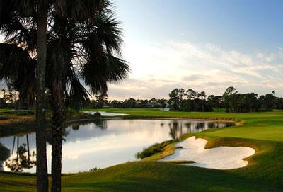
Port St. Lucie is a sprawling city along Florida's eastern coast, spreading over roughly 197 square kilometers and defined by its network of canals, golf courses, and residential developments. The area consists mainly of low-rise buildings, wide roads, and manicured lawns distributed among artificial lakes and waterways.
The area began in 1961 when General Development Corporation purchased large tracts of undeveloped land and started constructing a planned residential community. Over the following decades, the population grew rapidly, and the settlement officially gained city status in 1987.
Residents spend much of their time outdoors playing golf, fishing in freshwater canals, and gathering at community parks throughout the year. The name reflects the city's original marketing as a waterfront development, though most neighborhoods sit inland along artificial lakes and canals.
Major roads and highways connect the area to other parts of Florida, with Orlando and Miami each roughly a two-hour drive away. Most facilities and shops spread along several main traffic corridors, so having a car is advisable for visiting.
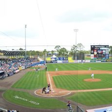
Clover Park serves as the spring training home for the New York Mets, allowing visitors to watch professional baseball players prepare for the season. The stadium also opens for other events outside baseball season, offering a glimpse into the daily routines of a sports team.
Location: St. Lucie County
Inception: 1961
Elevation above the sea: 5 m
Shares border with: White City
Website: https://cityofpsl.com
GPS coordinates: 27.27583,-80.35500
Latest update: December 4, 2025 19:01

First Data Field
7.4 km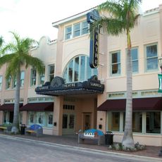
Sunrise Theatre
19.2 km
Roosevelt Bridge
12.2 km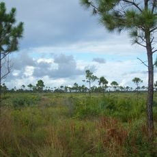
Savannas Preserve State Park
12.5 km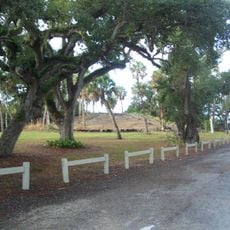
Old Fort Pierce Park
18.2 km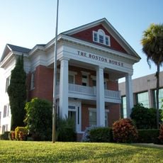
Boston House
19.1 km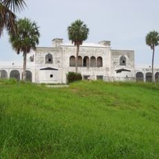
Tuckahoe
15.1 km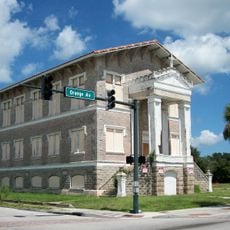
Old St. Anastasia Catholic School
19.2 km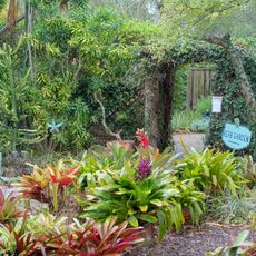
Heathcote Botanical Gardens
16.2 km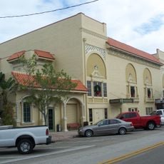
Lyric Theatre
13.1 km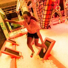
Urban Air Adventure Park
5.8 km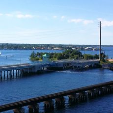
Old Roosevelt Bridge
12.4 km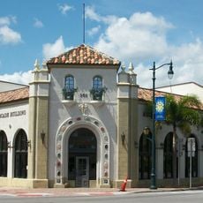
Arcade Building
19.2 km
Mount Elizabeth Archeological Site
14.7 km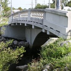
Moores Creek Bridge
19.7 km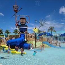
Sailfish Splash Water Park at Martin County
16.5 km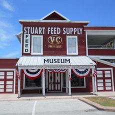
Stuart Heritage Museum
12.9 km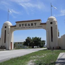
Stuart Welcome Arch
14.5 km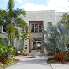
Old Martin County Courthouse
13.7 km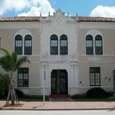
Old Fort Pierce City Hall
19.3 km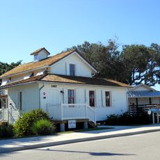
Capt. Henry E. Sewall House
14.9 km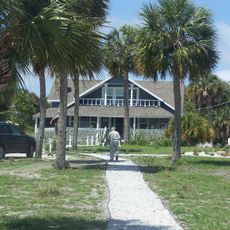
Capt. John Miller House
10.6 km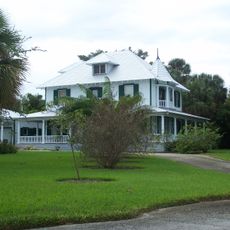
Krueger House
15 km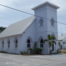
Jensen Beach Christian Church
13.1 km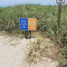
Blind Creek Beach South
14.7 km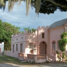
Jules Frere House
16.6 km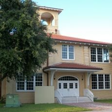
St. Lucie High School
18.8 km
Dudley-Bessey House
12.8 kmVisited this place? Tap the stars to rate it and share your experience / photos with the community! Try now! You can cancel it anytime.
Discover hidden gems everywhere you go!
From secret cafés to breathtaking viewpoints, skip the crowded tourist spots and find places that match your style. Our app makes it easy with voice search, smart filtering, route optimization, and insider tips from travelers worldwide. Download now for the complete mobile experience.

A unique approach to discovering new places❞
— Le Figaro
All the places worth exploring❞
— France Info
A tailor-made excursion in just a few clicks❞
— 20 Minutes