Chest opened
+${chestReward.xp} XP
Explorer
NOUVEAU ×${chestReward.collectible.quantity}
tapez pour fermer

See the monuments around you in AR Open chests in the app

Around Us is built for your phone — point your camera at the streets and discover the monuments and places around you in augmented reality. Around Us is built for your phone — chests unlock when you walk, explore and capture nearby places.

•

Enable Location

We need your location to show you interesting places around you

Discover nearby places

Find interesting locations and hidden gems around you

Precise directions

Get accurate directions and distances to places

Your location is never shared with other users. It's only used when you tap the location button.

Point Reyes National Seashore

Log in to your account

Start exploring — it's free

Trusted by 92,785 travelers worldwide

Continue with Google
Continue with Apple
or

We will send you a code to connect

By continuing, you accept our Terms and Conditions and our Privacy Policy

Check your inbox

We've sent a pincode in your inbox. Please enter the code below.

Point Reyes National Seashore, Nature reserve in Marin County, United States

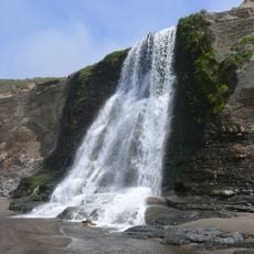
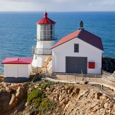
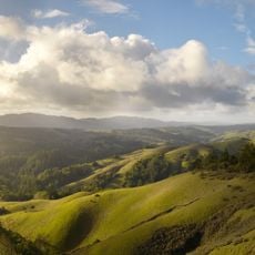
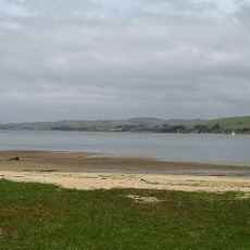
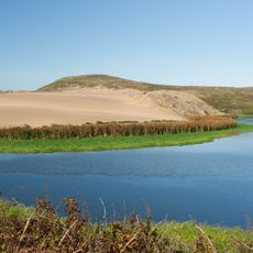
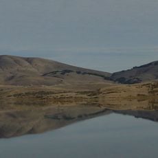
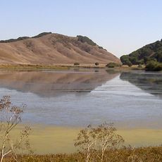
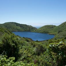
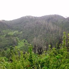
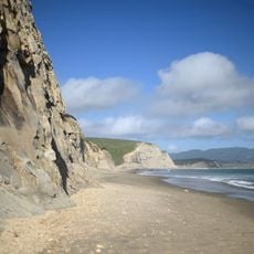
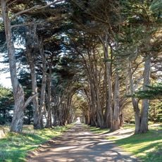
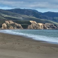
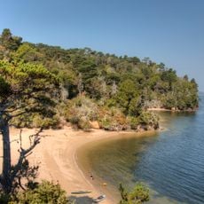
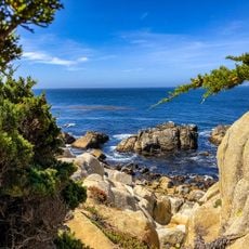
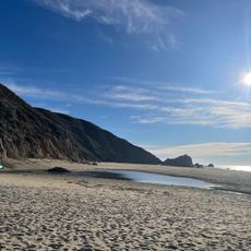
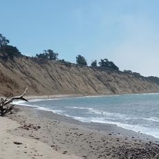
Point Reyes National Seashore covers 71,028 acres on a triangular peninsula in Marin County, California. Its southern half is a forested ridge rising to Mount Wittenberg at 428 m; the north is a long spit separating Tomales Bay from the ocean. Drakes Estero cuts deep fingers into the tip, where the lighthouse stands. Pale tan and grey cliffs drop to dark sand coves, and the headland records North America's highest measured wind speed, 212 km/h.

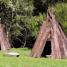
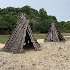
Coast Miwok villages of 75 to several hundred people stood along the creeks for thousands of years, fishing with woven surf nets and hunting deer and quail. Francis Drake likely camped here in 1579, and on 6 January 1603 Sebastián Vizcaíno named the headland Punta de los Reyes after the Three Kings. Congressman Clem Miller introduced the bill creating the national seashore, established on 13 September 1962 under President Kennedy.

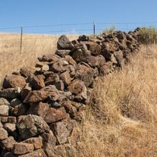
The name Punta de los Reyes comes from Sebastián Vizcaíno, who sighted the headlands on January 6, 1603, Three Kings' Day. Coast Miwok villages of 75 to several hundred people once stood along the creeks, using woven surf nets and drip nets to fish. Since 1817, when a Franciscan mission ranch brought cattle to the north side of San Francisco Bay, ranching has continued; some leases allow commercial grazing today.

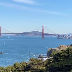
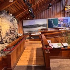
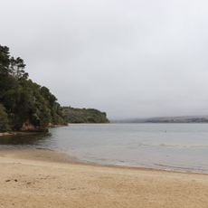
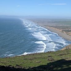
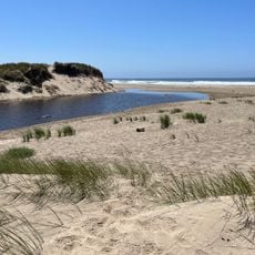
The park's 100 miles (160 km) of coastline take in beaches, estuaries and lagoons, and the cape is the windiest point on the North American Pacific coast, with a recorded gust of 212 km/h. The Earthquake Trail, a short interpretive path, explains the San Andreas Fault geology. The lighthouse stands at the peninsula's western tip; the small town of Olema, about 3 miles (4.8 km) south of Point Reyes Station, serves as the gateway and holds the visitor center.

The peninsula sits on a separate piece of Earth called the Salinian Block, separated from the mainland by the San Andreas Fault. This geological trait has allowed plants and rocks to develop here that differ from the rest of the California coast.

The community of curious travelers

AroundUs brings together thousands of curated places, local tips, and hidden gems, enriched daily by 92,785 contributors worldwide.

Start exploring
Location
Inception
September 13, 1962
Operator
National Park Service
GPS coordinates
38.07054,-122.86492
Latest update
October 24, 2026 17:03
Reviews
Share your experience

No review yet

Discussions
Start a discussion...

No discussion yet

« Point Reyes National Seashore - Nature reserve in Marin County, United States » is provided by Around Us (aroundus.com). Images and texts are derived from Wikimedia project under a Creative Commons license. You are allowed to copy, distribute, and modify copies of this page, under the conditions set by the license, as long as this note is clearly visible.

Discover hidden gems everywhere you go!

From secret cafés to breathtaking viewpoints, skip the crowded tourist spots and find places that match your style. Our app makes it easy with voice search, smart filtering, route optimization, and insider tips from travelers worldwide. Download now for the complete mobile experience.
Around Us App Screenshot
❝

A unique approach to discovering new places❞

— Le Figaro

❝

All the places worth exploring❞

— France Info

❝

A tailor-made excursion in just a few clicks❞

— 20 Minutes

Around Us
Travel Guide & Maps
Download

Send to your phone

QR Code
1

Open the camera app on your mobile.

2

Point at the QR code with your camera. A notification will appear.

3

Tap the notification to open the link.