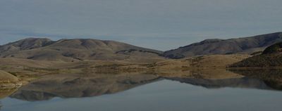
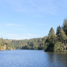
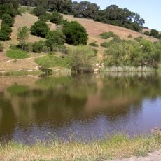
Nicasio Reservoir, body of water
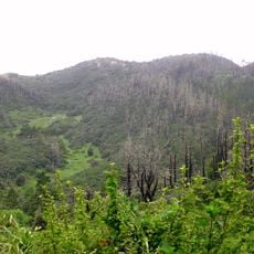
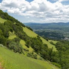
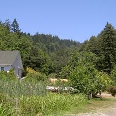
Nicasio Reservoir is a shallow freshwater reservoir in Marin County, California, set among open rolling hills and grassland. It is fed mainly by Nicasio Creek, and from the banks visitors get wide views across the surrounding slopes on all sides.
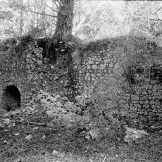
The reservoir came into being in 1961 when the local water district built the earthen Seeger Dam to hold water across the valley. Several long-standing farms, among them the McIsaac Farm and Tomasini Ranch, were flooded and lost when the water rose.
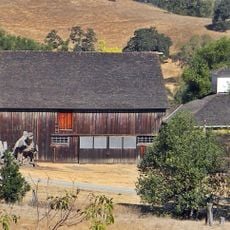
The reservoir sits in a region that has been shaped by farming for generations, and the open grasslands and rural feel around it are still very much part of the landscape today. The roads that circle the water pass by old ranches that have long defined the look of these hills.
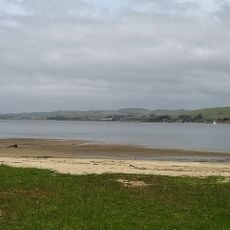
Several roads run around the water's edge and offer free parking in pullouts along the way, making the site easy to reach by car. A path follows the shoreline and is gentle enough for a relaxed walk at any time of year.
Even though the dam stopped the original salmon migration route along Nicasio Creek, river otters have been spotted around the reservoir in recent years, suggesting that wildlife is slowly returning. Otters had been largely absent from this part of Marin County for a long time before their reappearance.
The community of curious travelers
AroundUs brings together thousands of curated places, local tips, and hidden gems, enriched daily by 60,000 contributors worldwide.