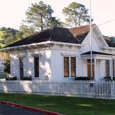
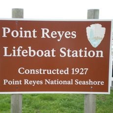
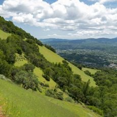
Phillip Burton Wilderness, US Wilderness Area in Marin County, United States.
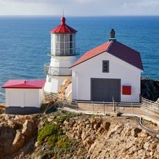
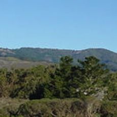
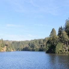
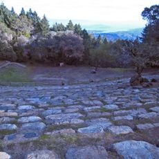
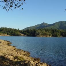
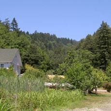
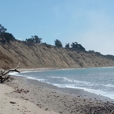
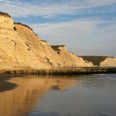
Phillip Burton Wilderness covers about half of Point Reyes National Seashore, roughly 33,000 acres on a triangular peninsula split from the mainland by the San Andreas Fault. Its southern unit holds Mount Wittenberg at 428 m, forested with bishop pine on granite and Douglas fir on schist; the northern Tomales Point ridge ends at the Point Reyes Lighthouse, the windiest spot on the North American Pacific coast, where 212 km/h has been recorded.
The area received its wilderness designation in 1976 and was renamed in 1985 to honor the late Congressman Phillip Burton, whose work advanced conservation efforts. This recognition marked an important step in protecting this coastal landscape from development.
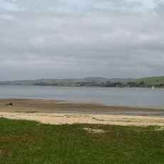
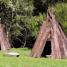
The Coast Miwok lived in villages of 75 to several hundred people along the creeks, harvesting crab, clams and oysters year-round and using woven surf nets for fishing. The name Point Reyes comes from Sebastián Vizcaíno, who sighted the headlands on January 6, 1603, and called them La Punta de los Reyes for Three Kings' Day. Drake's 1579 landing is commemorated in the name Drakes Estero.
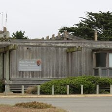
The wilderness is reached via Point Reyes Station, about 3 miles (4.8 km) north of Olema, where the Seashore visitor center sits; Inverness on Tomales Bay also provides services. The Earthquake Trail near Olema explains the San Andreas Fault geology. Expect the strongest winds on the North American Pacific coast, with a recorded gust of 212 km/h, and frequent fog at the cape.
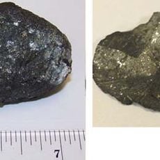
The peninsula's granite matches rock in the Tehachapi Mountains about 500 km south, carried north along the Pacific Plate past the San Andreas Fault. The Earthquake Trail near Olema explains this displacement and the region's earthquakes.
The community of curious travelers
AroundUs brings together thousands of curated places, local tips, and hidden gems, enriched daily by 92,784 contributors worldwide.