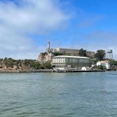
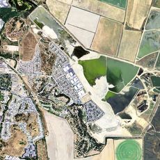
Marin County, County in San Francisco Bay Area, California, United States.
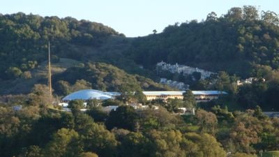
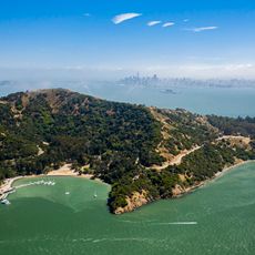
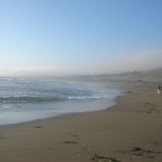
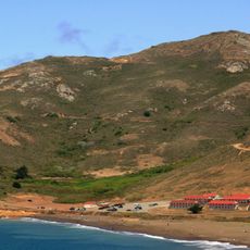
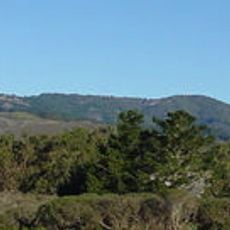
Marin County is a jurisdiction north of San Francisco in California, stretching from the Pacific Ocean to San Francisco Bay. The landscape shifts between coastal hills, beaches, redwood forests, and open valleys where small towns sit along the roads.
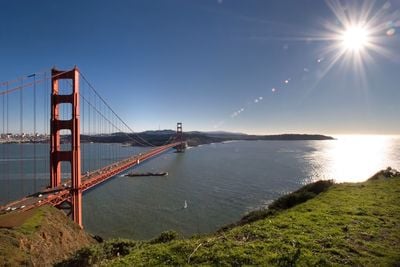
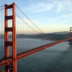
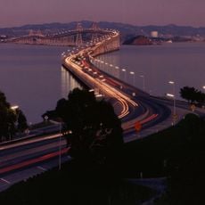
The jurisdiction formed in 1850 and took its name from Chief Marin, a leader of the Coast Miwok who lived here before colonization. The Golden Gate Bridge opened in 1937 and permanently connected the area to San Francisco, leading to rapid settlement.
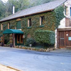
The towns here have drawn artists and musicians since the 1960s, who work in studios and galleries and organize regular concerts. In Sausalito and Tiburon, floating homes sit anchored offshore, combining waterfront living with a free-spirited atmosphere.
Many trails and beaches can be reached from San Francisco using public transport that crosses the Golden Gate Bridge. Fog often rolls in from the Pacific during summer and keeps coastal areas cooler than the inland valleys.
Muir Woods preserves coastal redwoods that grow over 250 feet (76 meters) tall and rank among the oldest living organisms on Earth. The forest sits just a short drive from San Francisco and forms a quiet contrast to the city.
Location: California
Inception: 1850
Capital city: San Rafael
Part of: San Rafael metropolitan division
Shares border with: Sonoma County, San Francisco County
Website: http://co.marin.ca.us
GPS coordinates: 38.04000,-122.74000
Latest update: December 4, 2025 14:20
Alcatraz Island
36.6 km
Sonoma Raceway
28.4 km
Angel Island Immigration Station
33.5 km
Bodega Bay
34.9 km
Marin County Civic Center
19 km
Richmond–San Rafael Bridge
28.2 km
Alamere Falls
10.3 km
Point Reyes National Seashore
12.9 km
Hamilton Air Force Base
21.1 km
Chevron Richmond Refinery
32.2 km
China Camp State Park
22.6 km
Point Reyes Lighthouse
25.3 km
U.S. Army Corps of Engineers Bay Model
29.1 km
Alcatraz Dining Hall
36.6 km
Warden's House
36.7 km
East Bay Walls
27 km
Point Bonita Lighthouse
31.1 km
SS Red Oak Victory
36.2 km
Terrapin Crossroads
21.2 km
Samuel P. Taylor State Park
2.4 km
SF-88
30.2 km
Building 64
36.7 km
Mount Tamalpais State Park
19.4 km
Buena Vista Winery
40 km
Green Gulch Farm Zen Center
24.8 km
Olompali State Historic Park
18.9 km
Ford Motor Company Assembly Plant
36.4 km
Rodeo Beach
29.5 kmReviews
Visited this place? Tap the stars to rate it and share your experience / photos with the community! Try now! You can cancel it anytime.
Discover hidden gems everywhere you go!
From secret cafés to breathtaking viewpoints, skip the crowded tourist spots and find places that match your style. Our app makes it easy with voice search, smart filtering, route optimization, and insider tips from travelers worldwide. Download now for the complete mobile experience.
A unique approach to discovering new places❞
— Le Figaro
All the places worth exploring❞
— France Info
A tailor-made excursion in just a few clicks❞
— 20 Minutes