California State Route 58, State highway in San Luis Obispo County and Kern County, United States.
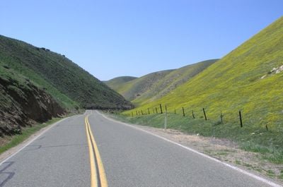
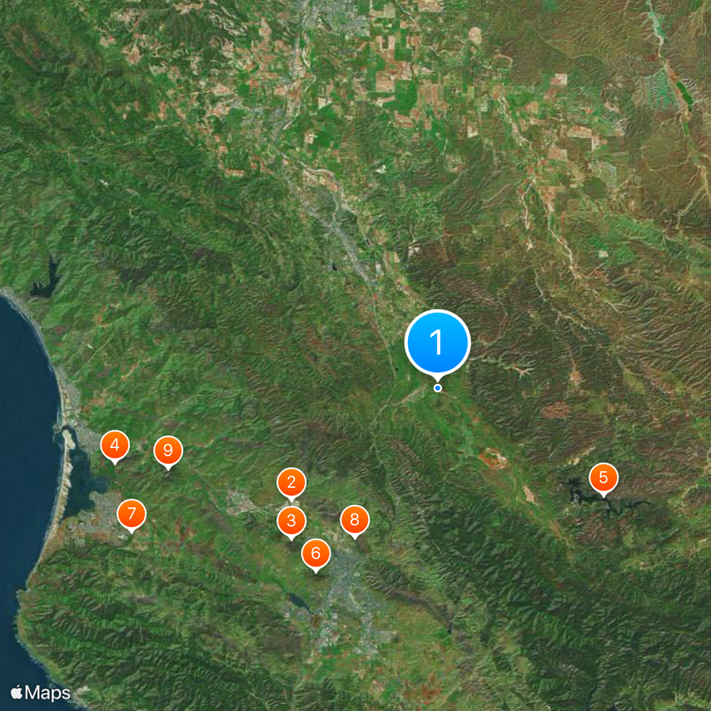
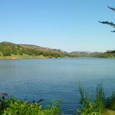
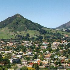
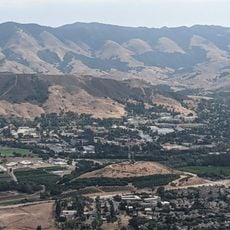
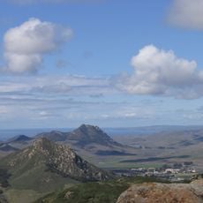
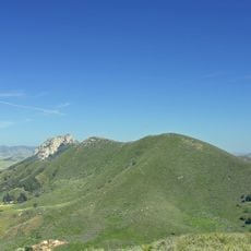
California State Route 58 is a state highway stretching 241 miles (388 kilometers) from Santa Margarita to Barstow, passing through diverse landscapes. It connects multiple communities and crosses varied terrain throughout central California.
The route was established in 1964 as part of California's highway system modernization efforts. This restructuring significantly changed regional transportation connections.
The road carries a Blue Star Memorial Highway designation to honor military service members who served in armed conflicts. This naming appears at several points and serves as a remembrance of their contributions.
Remote sections between Santa Margarita and McKittrick offer limited services and facilities along two-lane portions. Planning ahead and refueling before departure is advisable for these stretches.
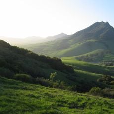
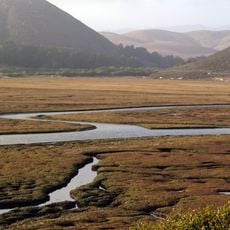
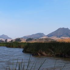
The route crosses the San Andreas Fault zone, offering views of geological formations within and near the Carrizo Plain National Monument. This location provides opportunities to observe distinct natural landscapes shaped by tectonic activity.
The community of curious travelers
AroundUs brings together thousands of curated places, local tips, and hidden gems, enriched daily by 60,000 contributors worldwide.