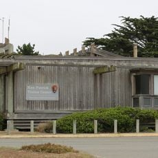
Point Reyes, Coastal peninsula in Marin County, California.
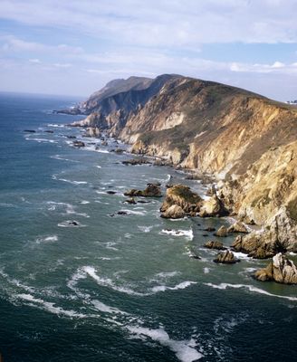
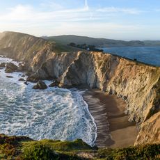
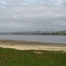
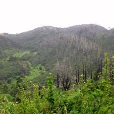
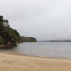
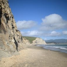
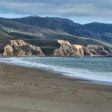
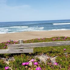
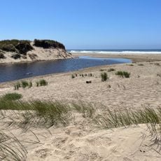
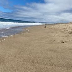
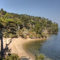
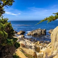
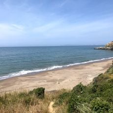
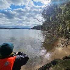
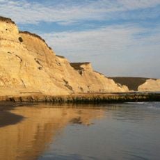
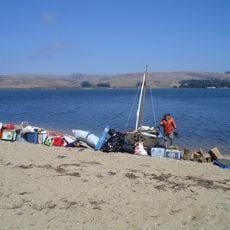
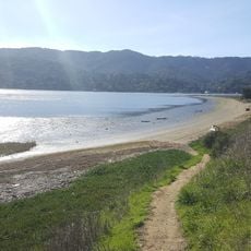
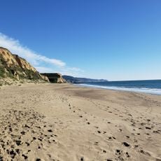
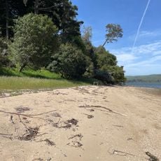
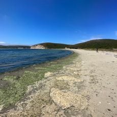
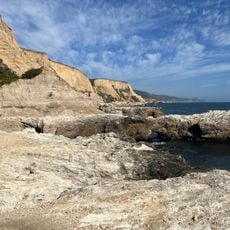
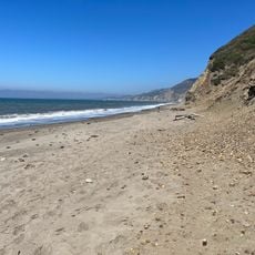
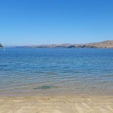
Point Reyes is a coastal peninsula in northern California that juts into the Pacific Ocean, bounded by Tomales Bay to the northeast and Bolinas Lagoon to the south. Rocky headlands alternate with sheltered sandy beaches, while inland gentle grasslands and wooded valleys cover the hills.
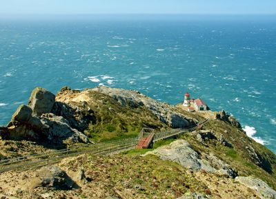
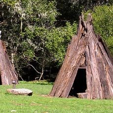
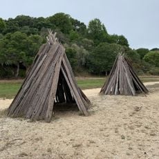
A Spanish explorer gave the peninsula its name in 1603 when his ship anchored in Drakes Bay. The Coast Miwok had inhabited the area for thousands of years before European settlers established ranches and lighthouses during the 1800s.
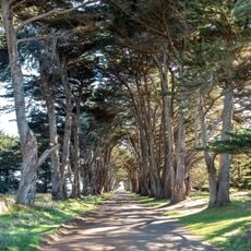
The name comes from the Spanish holiday of the Three Kings and recalls early European exploration along this coast. Visitors today encounter working ranch lands and small dairy farms that have operated between the hills and shoreline since the 1800s.
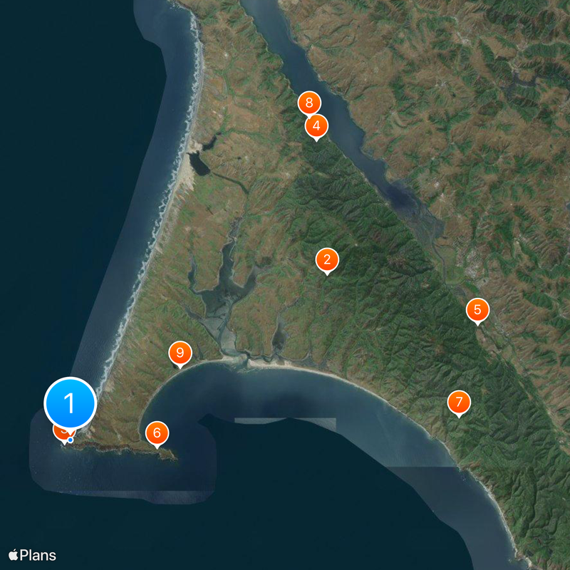
The area includes a network of hiking trails leading to different viewpoints and beaches, with some routes involving steep climbs or windy sections. Whales can be spotted from the cliffs between December and April, and fog often limits visibility especially during summer months.
The peninsula sits on the Pacific Plate, separated from mainland California by the San Andreas Fault. This geological boundary moves gradually northwest, shifting the entire landmass over time.
The community of curious travelers
AroundUs brings together thousands of curated places, local tips, and hidden gems, enriched daily by 60,000 contributors worldwide.