Pacific Grove

Log in to your account

AroundUs is a community-driven map of interesting places, built by curious explorers like you. It grows with every review, story, and photo you share.
Connect to save your favorite spots, contribute locations, and create personalized routes.
By continuing, you accept our Terms and Conditions and our Privacy Policy
Add to collection
Map
Suggest a change
Share

Pacific Grove, Coastal city in Monterey County, United States.

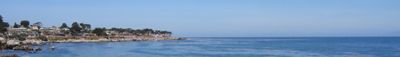
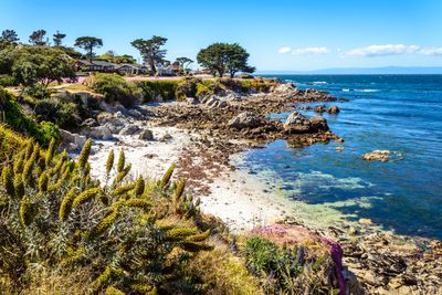
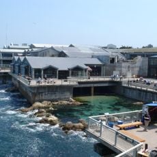
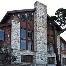
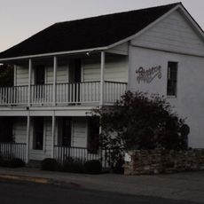
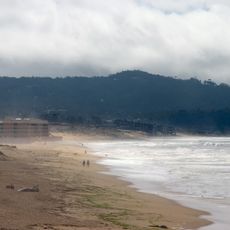
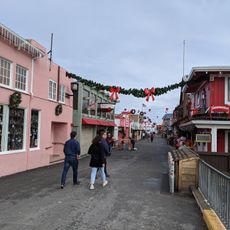
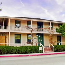
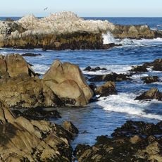
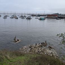
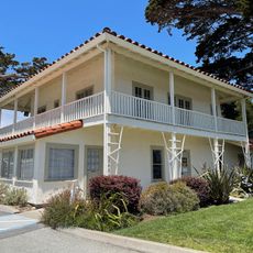
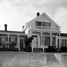
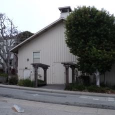
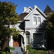
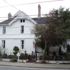
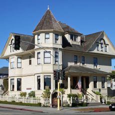
Pacific Grove is a coastal town in Monterey County, California, stretching between Point Pinos and the city of Monterey at an elevation around 46 meters. Wooden Victorian-era houses line quiet streets, while rocky shoreline sections and forests weave natural elements through the town.

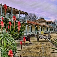
The area originally served as hunting and fishing grounds for the Ohlone Rumsen people before Methodist congregation members founded a retreat camp here in 1875. The settlement grew quickly and was formally incorporated as a city in 1889.

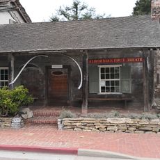
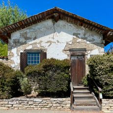
The name comes from the time when Methodists used this coastal area as a quiet retreat and named it after the tall pines that still shape the town today. Many residents maintain their wooden Victorian houses and protect the old trees along the streets and in their gardens.

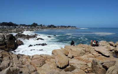
The streets mostly run parallel to the coast, making orientation easy, and many paths are flat enough for comfortable walks along the water. Fog often arrives in the morning during summer and clears in the afternoon, so bringing warmer clothes is wise even when the sun is out.

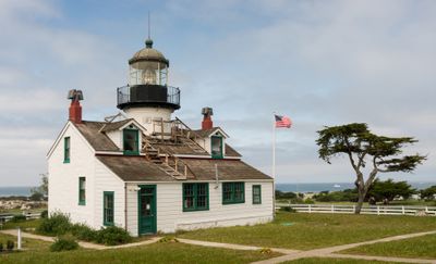
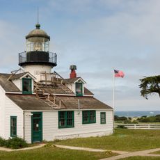
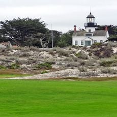
Thousands of monarch butterflies spend each winter here in a dedicated sanctuary that is freely accessible and where the orange insects hang in clusters from the trees. The lighthouse at Point Pinos has been in continuous operation since 1855 and is still looked after by a keeper today.

Location: Monterey County

Inception: 1875

Elevation above the sea: 46 m

Website: http://ci.pg.ca.us

GPS coordinates: 36.61917,-121.92111

Latest update: December 4, 2025 23:43

Around this place
Show the full map
Monterey Bay Aquarium
United States of America

Monterey Bay Aquarium

1.8 km
Asilomar State Beach
United States of America

Asilomar State Beach

1.8 km
Asilomar Conference Grounds
United States of America

Asilomar Conference Grounds

920 m
Monterey State Historic Park
United States of America

Monterey State Historic Park

3 km
Point Pinos Lighthouse
United States of America

Point Pinos Lighthouse

1.9 km
Pacific Biological Laboratories
United States of America

Pacific Biological Laboratories

1.9 km
Monterey State Beach
United States of America

Monterey State Beach

4.1 km
Colton Hall
United States of America

Colton Hall

3.2 km
Fisherman's Wharf, Monterey, California
United States of America

Fisherman's Wharf, Monterey, California

3 km
Old Customhouse
United States of America

Old Customhouse

3 km
Larkin House
United States of America

Larkin House

3.3 km
Asilomar State Marine Reserve
United States of America

Asilomar State Marine Reserve

2.2 km
California's First Theatre
United States of America

California's First Theatre

2.9 km
Edward F. Ricketts State Marine Conservation Area
United States of America

Edward F. Ricketts State Marine Conservation Area

3 km
Sherman Quarters
United States of America

Sherman Quarters

3.3 km
Pacific Grove Museum of Natural History
United States of America

Pacific Grove Museum of Natural History

463 m
Pacific Grove Municipal Golf Links
United States of America

Pacific Grove Municipal Golf Links

1.9 km
Monterey Maritime and History Museum
United States of America

Monterey Maritime and History Museum

3.1 km
Wharf Theater
United States of America

Wharf Theater

3 km
Vásquez House
United States of America

Vásquez House

3.1 km
James W. Finch House
United States of America

James W. Finch House

2.8 km
Chautauqua Hall
United States of America

Chautauqua Hall

421 m
Trimmer Hill
United States of America

Trimmer Hill

1 km
Lou Ellen Parmelee House
United States of America

Lou Ellen Parmelee House

1.8 km
Frank LaVerne Buck House
United States of America

Frank LaVerne Buck House

299 m
Josiah Merritt Adobe
United States of America

Josiah Merritt Adobe

3.1 km
House of the Four Winds
United States of America

House of the Four Winds

3.3 km
Monterey Bay Aquarium
United States of America

Monterey Bay Aquarium

1.7 km
Show the full map

Reviews

Visited this place? Tap the stars to rate it and share your experience / photos with the community! Try now! You can cancel it anytime.

« Pacific Grove - Coastal city in Monterey County, United States » is provided by Around Us (aroundus.com). Images and texts are derived from Wikimedia project under a Creative Commons license. You are allowed to copy, distribute, and modify copies of this page, under the conditions set by the license, as long as this note is clearly visible.

Discover hidden gems everywhere you go!

From secret cafés to breathtaking viewpoints, skip the crowded tourist spots and find places that match your style. Our app makes it easy with voice search, smart filtering, route optimization, and insider tips from travelers worldwide. Download now for the complete mobile experience.

Around Us App Screenshot

A unique approach to discovering new places

Le Figaro

All the places worth exploring

France Info

A tailor-made excursion in just a few clicks

20 Minutes