Monterey County, County in Central Coast region, California, United States
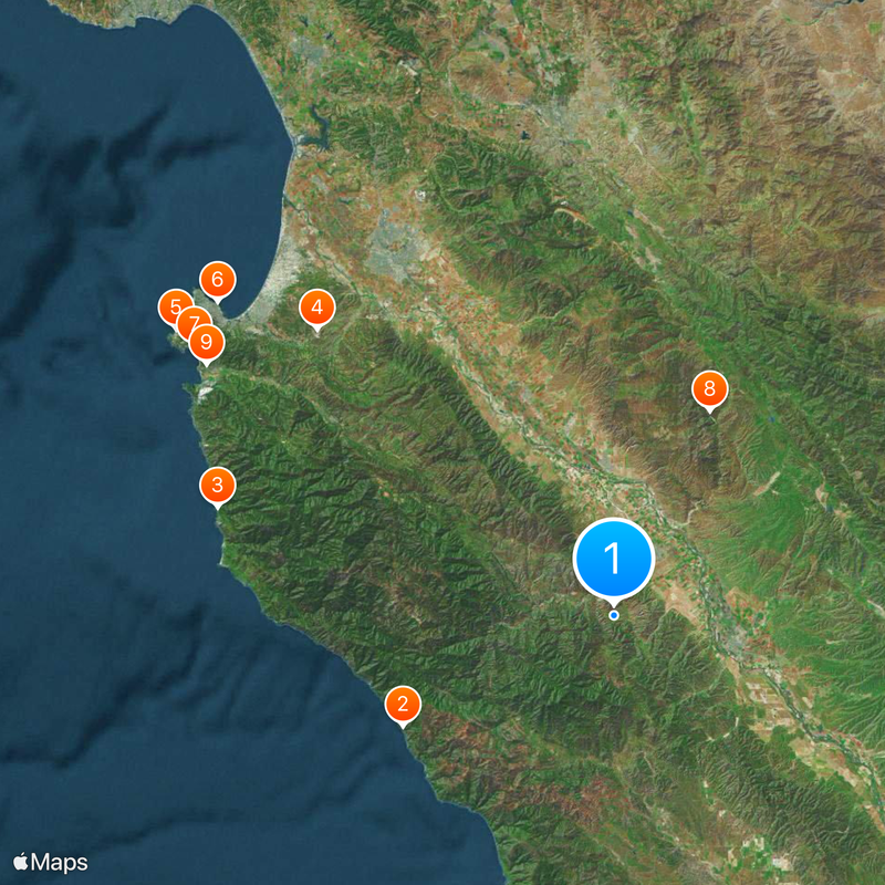
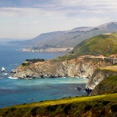
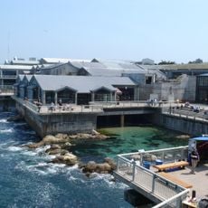
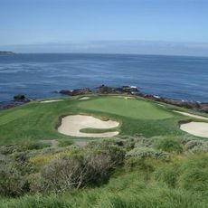
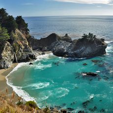
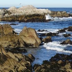
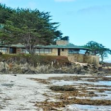
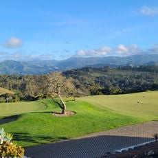
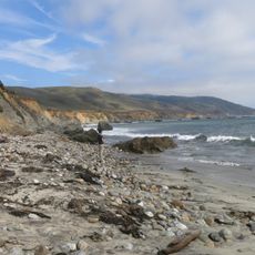
Monterey County is an administrative division along the Pacific coast of California, stretching from Monterey Bay southward through rocky shorelines and inland valleys of farmland. The landscape shifts between beach towns with cliffs, rolling hills covered in vineyards, and flat fields within the Salinas Valley.
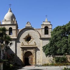
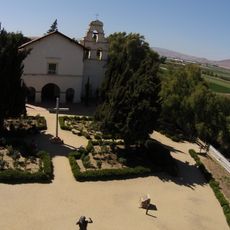
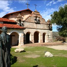
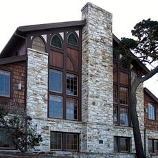
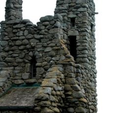
The area became an administrative division in 1850 when California joined the United States, following earlier control by Spanish and Mexican authorities. The city of Monterey served as the capital during the Spanish colonial period and continued as a government center.
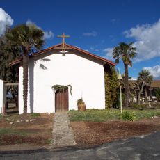
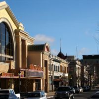
Residents celebrate their agricultural roots through farmers markets and wine festivals held throughout the valleys year-round. Many coastal towns carry Spanish names and reflect the earlier settlement patterns, visible in street layouts and building styles today.
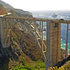
Visitors can explore the coastline along Highway 1 or head inland toward the agricultural regions. Public buses connect coastal cities with smaller towns in the interior, though service becomes less frequent in the southern areas.
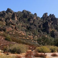
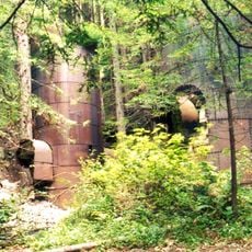
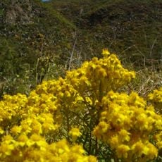
The administrative region includes parts of a large national forest and a protected underwater sanctuary that provides habitat for marine mammals and rare bird species. Another national park within the boundaries is known for its rock spires of volcanic origin.
The community of curious travelers
AroundUs brings together thousands of curated places, local tips, and hidden gems, enriched daily by 60,000 contributors worldwide.