Andrew Molera State Park
Andrew Molera State Park, State park in Monterey County, California, United States.
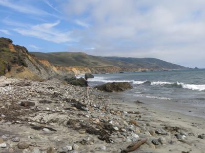
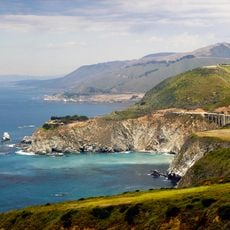
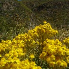
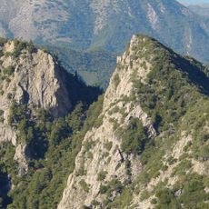
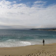
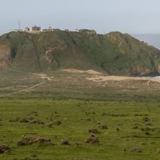
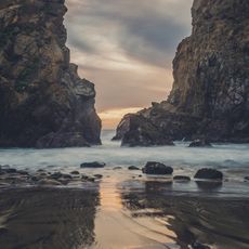
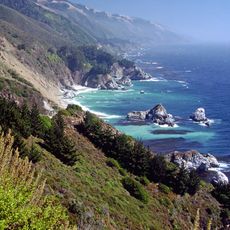
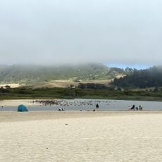
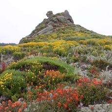
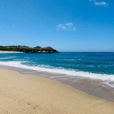
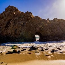
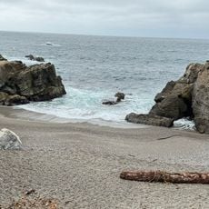
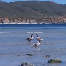
Andrew Molera State Park is a protected area along California's coast featuring ocean cliffs, open meadows, coastal forests, and a sandy beach connected by numerous trails. The landscape includes varied terrain, from grasslands and ridges to wooded ravines that lead down to the shoreline.
The park was established in 1968 and takes its name from Andrew Molera, a rancher who operated on this land in earlier decades. The family shaped the landscape through farming and cattle operations over generations.
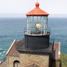
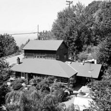
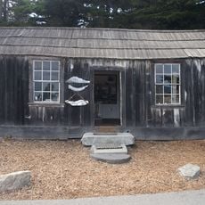
The park contains the oldest building in Big Sur and serves as an educational center for understanding California condor conservation and local wildlife.
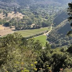
The park offers more than 20 miles of trails with different difficulty levels, suitable for hiking, horseback riding, and mountain biking. Visitors should prepare for changing conditions as routes range from coastal areas to higher terrain.
The area contains one of the oldest buildings in the Big Sur region, standing as evidence of early settlement along this rugged coastline. The structure shows how settlers adapted to life in this remote and challenging environment.
Location: Monterey County
Inception: 1968
Operator: California Department of Parks and Recreation
Website: http://parks.ca.gov/?page_id=582
GPS coordinates: 36.28330,-121.83300
Latest update: December 8, 2025 19:52
Big Sur
27 km
Bixby Creek Bridge
11.6 km
McWay Falls
20.1 km
Julia Pfeiffer Burns State Park
19.5 km
Pfeiffer Big Sur State Park
6.1 km
Tassajara Zen Mountain Center
23.8 km
Tassajara Hot Springs
26 km
Point Sur Lighthouse
6.4 km
Garrapata State Park
21.8 km
Ventana Wilderness
15.4 km
Carmel River State Beach
29 km
Point Sur State Historic Park
6.4 km
Pfeiffer Beach
5.2 km
Rocky Creek Bridge
12.4 km
Deetjen's Big Sur Inn
10.4 km
Big Creek State Marine Reserve and Big Creek State Marine Conservation Area
25.4 km
San Clemente Dam
20.3 km
Carmel River State Beach
29.2 km
Palo Corona Ranch
28.6 km
Geological history of Point Lobos
27.8 km
Palo Corona Regional Park
16.8 km
Whalers Cabin
27.7 km
Point Lobos State Reserve
27.8 km
Monastery Beach
28.1 km
Berwick Manor and Orchard
26.8 km
Keyhole Arch
5.2 km
Hidden Beach
27.1 km
Wreck Beach
6.2 kmVisited this place? Tap the stars to rate it and share your experience / photos with the community! Try now! You can cancel it anytime.
Discover hidden gems everywhere you go!
From secret cafés to breathtaking viewpoints, skip the crowded tourist spots and find places that match your style. Our app makes it easy with voice search, smart filtering, route optimization, and insider tips from travelers worldwide. Download now for the complete mobile experience.
A unique approach to discovering new places❞
— Le Figaro
All the places worth exploring❞
— France Info
A tailor-made excursion in just a few clicks❞
— 20 Minutes