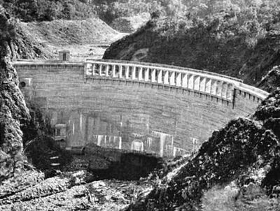
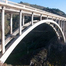
San Clemente Dam, Concrete arch dam in Monterey County, United States.
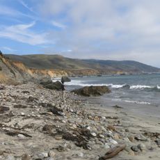
San Clemente Dam was a concrete arch dam that crossed the Carmel River near San Clemente Creek in Monterey County, California. The structure was removed in 2015, and the site is now a restored river corridor.
The dam was built between 1918 and 1921 to supply water to the Monterey Peninsula. Over the following decades, sediment filled the reservoir and reduced its storage capacity considerably.
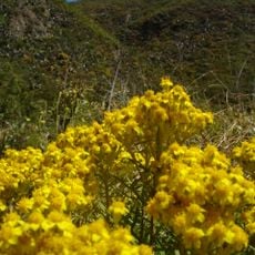
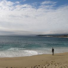
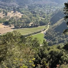
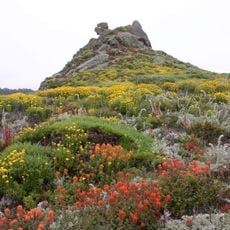
The removal of the dam changed how people in California think about the relationship between water supply and river health. Along the Carmel River today, you can see signs of recovery in the banks and surrounding vegetation.
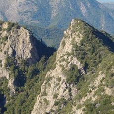
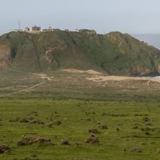
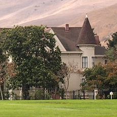
The site is located in Monterey County and can be reached from a few access points, though trail conditions vary depending on the season and recent rainfall. Checking current access information before you go is a good idea.
After the dam was taken down, steelhead trout reappeared in the Carmel River, a species that had been absent from this stretch for decades. Their return is considered one of the clearest examples of river recovery following dam removal on the West Coast.
The community of curious travelers
AroundUs brings together thousands of curated places, local tips, and hidden gems, enriched daily by 60,000 contributors worldwide.