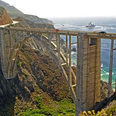
Julia Pfeiffer Burns State Park, State park along the Pacific Coast Highway, Monterey County, United States
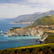
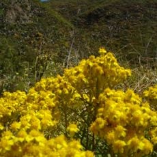
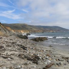
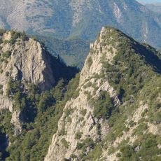
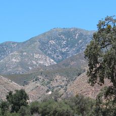
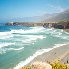
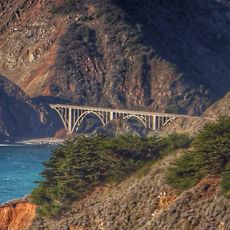
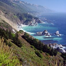
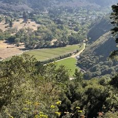
Julia Pfeiffer Burns State Park is a protected area on the California Pacific coast in Monterey County that covers 12 square kilometers of coastal terrain with redwood forests in shaded canyons, oak woodlands on gentle slopes, and chaparral vegetation on exposed ridges between the ocean and inland elevations. Trails lead to viewpoints above the water, while access to many zones remains restricted to preserve habitats from overuse.
The California State Parks Department created the reserve in 1962 after Lathrop Brown donated land honoring Julia Pfeiffer Burns, a rancher and pioneer who lived in the region from the 1870s. Later acquisitions expanded the original boundaries and enabled protection of more watersheds and coastal sections from development.
Conservationists and research groups use the area regularly to monitor coastal ecosystems and species populations. Volunteers help maintain trails and protect vulnerable habitats along the California shoreline.
The two environmental campsites near McWay Cove require reservations that often fill six months ahead. The Overlay Trail remains closed due to landslide risk, but the McWay Falls Overlook Trail is open and offers waterfall views from the clifftop, while parking along Highway 1 is limited especially on summer weekends.
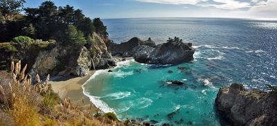
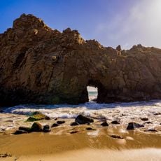
McWay Falls drops 24 meters straight into the Pacific and ranks among the few permanent coastal waterfalls in California. Before a landslide in 1983, the water flowed onto the beach, but since then it meets the ocean directly and creates a distinctive spray at high tide.
The community of curious travelers
AroundUs brings together thousands of curated places, local tips, and hidden gems, enriched daily by 60,000 contributors worldwide.