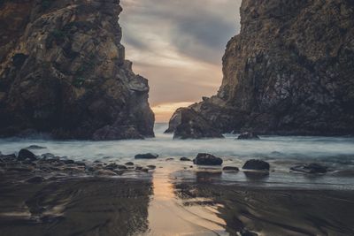
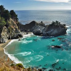
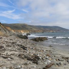
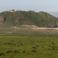
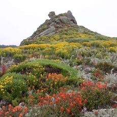
Pfeiffer Beach, Beach on California's central coast in Monterey County, US.
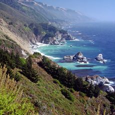
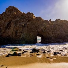
Pfeiffer Beach stretches along the Pacific Ocean with steep rocky cliffs and a large rock formation featuring a natural arch with a distinctive opening. This opening, known as the Keyhole Arch, frames waves flowing through it and creates a striking visual feature of the location.
The area came under Los Padres National Forest management in the mid-20th century to preserve its natural state. This protection measure allowed public access to this stretch of coastline.
Photographers gather here to capture the light beaming through the natural opening in the large rock formation. The sunset lighting creates a special display that draws many visitors to this spot.
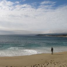
The beach is reached via Sycamore Canyon Road branching off from Highway 1, leading to a fee-based parking area. Good planning helps since the paths to the shore cross uneven terrain and weather can change quickly.
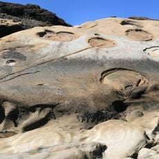
The sand displays purple sections due to manganese garnet deposits from the surrounding rock cliffs. This natural coloring appears as the cliffs erode and release their mineral content into the sand.
The community of curious travelers
AroundUs brings together thousands of curated places, local tips, and hidden gems, enriched daily by 60,000 contributors worldwide.