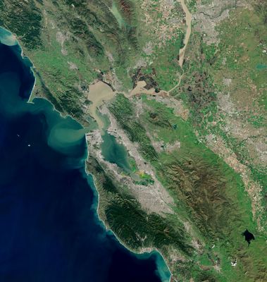
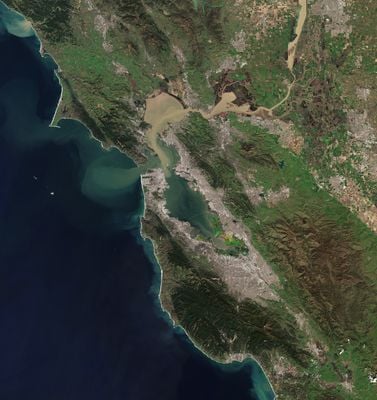
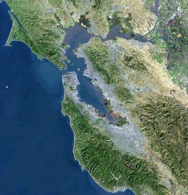
San Francisco Peninsula, Peninsula between San Francisco Bay and Pacific Ocean, California
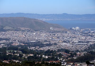
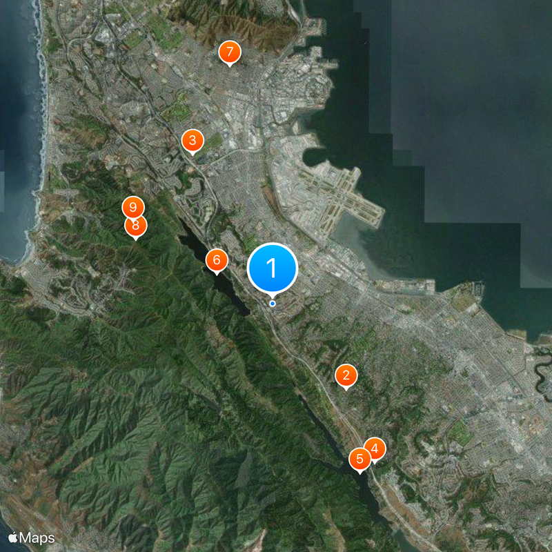
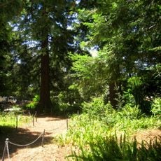
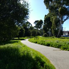
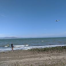
The San Francisco Peninsula is a landmass between San Francisco Bay to the east and the Pacific Ocean to the west, stretching roughly 75 kilometers (47 miles) south from San Francisco. It includes forested ridges, coastal towns, and urban areas connected by highways and regional roads.
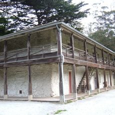
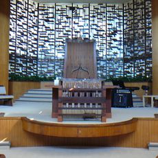
Ohlone and Miwok peoples lived here for over 8,000 years before Spanish expeditions reached the area in 1769 and later established missions. During the 19th century, rail lines and towns appeared, while technology companies began settling during the 20th century.
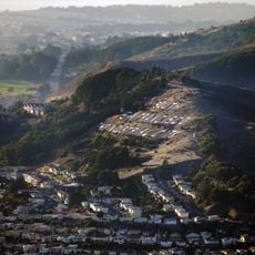
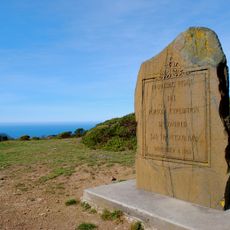
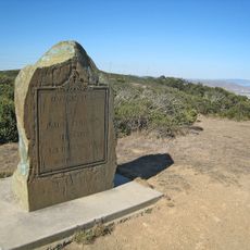
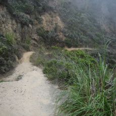
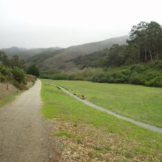
The name comes from the shape of land between bay and ocean, visible today from lookout points along coastal roads. Trails through the hills offer views toward both bodies of water, showing the narrow strip clearly.
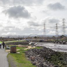
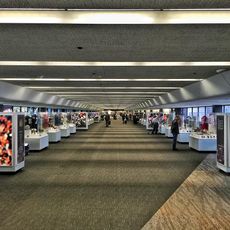
The international airport on the eastern shore provides rail and highway connections, linking destinations in all directions. Several regional roads cross between coast and bay, connecting the main towns.
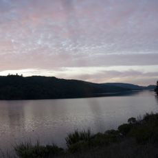
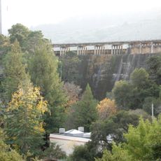
The San Andreas Fault runs through Crystal Springs Reservoir, shaping the mountain ranges and geological profile of the entire area. Hikers often notice the elongated lakes and valleys that follow this fault line.
The community of curious travelers
AroundUs brings together thousands of curated places, local tips, and hidden gems, enriched daily by 60,000 contributors worldwide.