Chest opened
+${chestReward.xp} XP
Explorer
NOUVEAU ×${chestReward.collectible.quantity}
tapez pour fermer

See the monuments around you in AR Open chests in the app

Around Us is built for your phone — point your camera at the streets and discover the monuments and places around you in augmented reality. Around Us is built for your phone — chests unlock when you walk, explore and capture nearby places.

Enable Location

We need your location to show you interesting places around you

Discover nearby places

Find interesting locations and hidden gems around you

Precise directions

Get accurate directions and distances to places

Your location is never shared with other users. It's only used when you tap the location button.

Hopland

Log in to your account

Start exploring — it's free

Trusted by 86,812 travelers worldwide

Continue with Google
Continue with Apple
or

We will send you a code to connect

By continuing, you accept our Terms and Conditions and our Privacy Policy

Check your inbox

We've sent a pincode in your inbox. Please enter the code below.

Discussion Reviews 1 Photos
15.6k Popularity

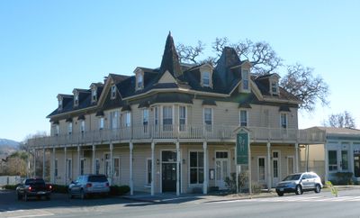
Hopland, Census-designated place in Mendocino County, United States.

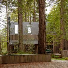
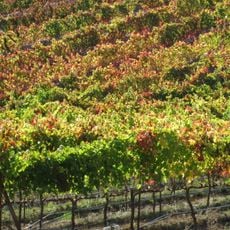
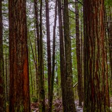
Hopland is a small settlement on the west bank of the Russian River in Mendocino County, Northern California, with a rural agricultural character. The area is shaped by fields and farmland where hop cultivation and other crops define the landscape.

The settlement began as Sanel in 1859, received a post office in 1860, and changed its name to Hopland in 1891 as hop farming became the main economy. This name change reflected the economic shift that shaped the region.

The Hopland Band of Pomo Indians, known as Sho-Ka-Wah, lived in this region and called their main village Shanel. Visitors can still sense the cultural roots of this community throughout the area today.

The area suits visitors interested in sustainable agriculture and research, as a major research facility operates several kilometers east. Keep in mind this is a small, rural area, so good planning before arriving is advisable.

The Solar Living Center demonstrates on about 12 acres how people can live using renewable energy and sustainable methods. The project functions both as a visitor destination and as a practical experiment for living in harmony with nature.

The community of curious travelers

AroundUs brings together thousands of curated places, local tips, and hidden gems, enriched daily by 60,000 contributors worldwide.
Start exploring
Location
Elevation above the sea
153 m
GPS coordinates
38.97306,-123.11639
Latest update
September 12, 2026 01:51
Around this place
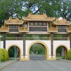
City of Ten Thousand Buddhas
United States of America

City of Ten Thousand Buddhas

11.4 mi
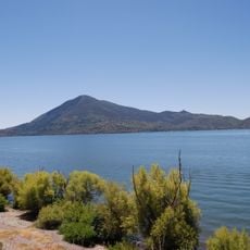
Mount Konocti
United States of America

Mount Konocti

18.8 mi
United States of America

Blue Lakes

14.9 mi
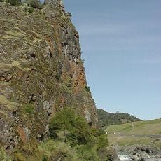
Frog Woman Rock
United States of America

Frog Woman Rock

5.3 mi
Hendy Woods State Park
United States of America

Hendy Woods State Park

20.2 mi
Cobb Mountain
United States of America

Cobb Mountain

23.3 mi
Lake Mendocino
United States of America

Lake Mendocino

17.2 mi
Condominium 1
United States of America

Condominium 1

26.4 mi
Montgomery Woods State Natural Reserve
United States of America

Montgomery Woods State Natural Reserve

23 mi
Clear Lake State Park
United States of America

Clear Lake State Park

16.7 mi
Anderson Marsh State Historic Park
United States of America

Anderson Marsh State Historic Park

25.9 mi
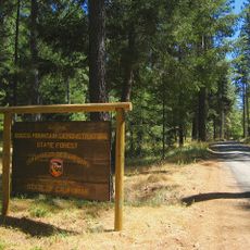
Boggs Mountain Demonstration State Forest
United States of America

Boggs Mountain Demonstration State Forest

25.3 mi
Boggs Lake Ecological Reserve
United States of America

Boggs Lake Ecological Reserve

19.2 mi
Loch Lomond Vernal Pool Ecological Reserve
United States of America

Loch Lomond Vernal Pool Ecological Reserve

22.6 mi
Grace Hudson Museum
United States of America

Grace Hudson Museum

13 mi
Gualala Point Regional Park
United States of America

Gualala Point Regional Park

26.4 mi
Galbreath Wildlands Preserve
United States of America

Galbreath Wildlands Preserve

10.6 mi
Baker House
United States of America

Baker House

25.4 mi
Fetzer-Bonterra vineyards
United States of America

Fetzer-Bonterra vineyards

110 ft
Lakeport Carnegie Library
United States of America

Lakeport Carnegie Library

11.9 mi
California Coast Ranges Biosphere Reserve
United States of America

California Coast Ranges Biosphere Reserve

17.2 mi
Old Lake County Courthouse
United States of America

Old Lake County Courthouse

11.8 mi
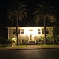
Con Creek School
United States of America

Con Creek School

15 mi
Pebble Beach
United States of America

Pebble Beach

25.9 mi
Ohlson Beach
United States of America

Ohlson Beach

25.7 mi
Lambert Bridge
United States of America

Lambert Bridge

24.3 mi
Gould-Shaw House
United States of America

Gould-Shaw House

12.7 mi
Warm Springs Creek Bridge
United States of America

Warm Springs Creek Bridge

18.7 mi
Show the full map
Reviews
Share your experience

No review yet

Discussions
Start a discussion...

No discussion yet

« Hopland - Census-designated place in Mendocino County, United States » is provided by Around Us (aroundus.com). Images and texts are derived from Wikimedia project under a Creative Commons license. You are allowed to copy, distribute, and modify copies of this page, under the conditions set by the license, as long as this note is clearly visible.

Discover hidden gems everywhere you go!

From secret cafés to breathtaking viewpoints, skip the crowded tourist spots and find places that match your style. Our app makes it easy with voice search, smart filtering, route optimization, and insider tips from travelers worldwide. Download now for the complete mobile experience.
Around Us App Screenshot

A unique approach to discovering new places

Le Figaro

All the places worth exploring

France Info

A tailor-made excursion in just a few clicks

20 Minutes

Around Us
Travel Guide & Maps
Download

Send to your phone

QR Code
1

Open the camera app on your mobile.

2

Point at the QR code with your camera. A notification will appear.

3

Tap the notification to open the link.