Chest opened
+${chestReward.xp} XP
Explorer
NOUVEAU ×${chestReward.collectible.quantity}
tapez pour fermer

See the monuments around you in AR Open chests in the app

Around Us is built for your phone — point your camera at the streets and discover the monuments and places around you in augmented reality. Around Us is built for your phone — chests unlock when you walk, explore and capture nearby places.

Enable Location

We need your location to show you interesting places around you

Discover nearby places

Find interesting locations and hidden gems around you

Precise directions

Get accurate directions and distances to places

Your location is never shared with other users. It's only used when you tap the location button.

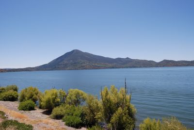
Mount Konocti

Log in to your account

Start exploring — it's free

Trusted by 84,904 travelers worldwide

Continue with Google
Continue with Apple
or

We will send you a code to connect

By continuing, you accept our Terms and Conditions and our Privacy Policy

Check your inbox

We've sent a pincode in your inbox. Please enter the code below.

Mount Konocti
Discussion Reviews 1 Photos
11.9k Popularity

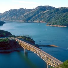
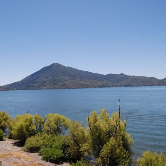
Mount Konocti, Volcanic mountain in Lake County, California, US

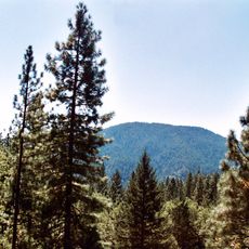
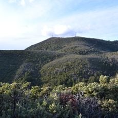
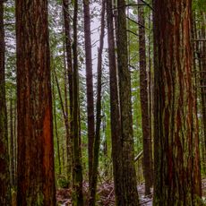
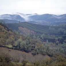
Mount Konocti is a volcanic mountain in Lake County with five distinct peaks that form the second highest elevation in the Clear Lake Volcanic Field. The mountain is covered with old orchards and forests that create different layers of vegetation.

The last volcanic eruption happened around 11,000 years ago, roughly when the first Pomo and Wappo groups arrived in the region. This ancient activity shaped the mountain's structure and the landscape we see today.

The name Konocti comes from the Pomo language and refers to a mountain woman, showing how indigenous peoples connected this place to their stories and beliefs.

The Wright Peak Summit Trail takes you through old orchards and forests to overlook points where you can see Clear Lake and the Sacramento Valley. The path works best in dry weather, as rain and moisture can make it slippery.

Local stories tell of an underground cave system supposedly discovered in 1818 that holds a lake with blind fish living inside it. No one has yet been able to find or confirm the exact location of this system.

The community of curious travelers

AroundUs brings together thousands of curated places, local tips, and hidden gems, enriched daily by 60,000 contributors worldwide.
Start exploring
Location
GPS coordinates
38.97460,-122.76746
Latest update
August 29, 2026 21:45
Around this place
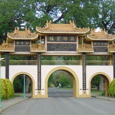
City of Ten Thousand Buddhas
United States of America

City of Ten Thousand Buddhas

24 mi
Berryessa Snow Mountain National Monument
United States of America

Berryessa Snow Mountain National Monument

14.2 mi
United States of America

Blue Lakes

19.2 mi
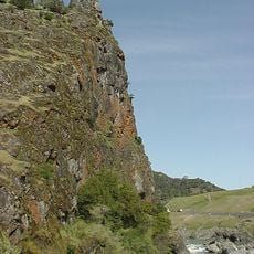
Frog Woman Rock
United States of America

Frog Woman Rock

16.1 mi
Cobb Mountain
United States of America

Cobb Mountain

11.7 mi
Robert Louis Stevenson State Park
United States of America

Robert Louis Stevenson State Park

23.9 mi
Clear Lake State Park
United States of America

Clear Lake State Park

3.3 mi
Anderson Marsh State Historic Park
United States of America

Anderson Marsh State Historic Park

7.6 mi
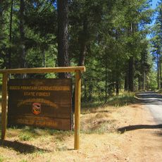
Boggs Mountain Demonstration State Forest
United States of America

Boggs Mountain Demonstration State Forest

11.5 mi
Simi Winery
United States of America

Simi Winery

23.5 mi
Crabtree Hot Springs, California
United States of America

Crabtree Hot Springs, California

22 mi
Boggs Lake Ecological Reserve
United States of America

Boggs Lake Ecological Reserve

6.1 mi
Blue Ridge Berryessa Natural Area
United States of America

Blue Ridge Berryessa Natural Area

25.2 mi
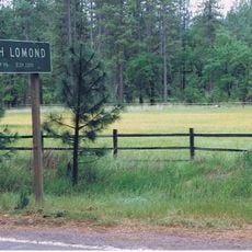
Loch Lomond Vernal Pool Ecological Reserve
United States of America

Loch Lomond Vernal Pool Ecological Reserve

8 mi
Cache Creek Wilderness
United States of America

Cache Creek Wilderness

14.6 mi
Rice Fork
United States of America

Rice Fork

22 mi
Francis Ford Coppola Winery
United States of America

Francis Ford Coppola Winery

21.4 mi
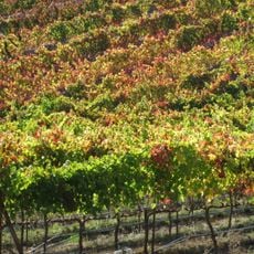
Fetzer-Bonterra vineyards
United States of America

Fetzer-Bonterra vineyards

18.7 mi
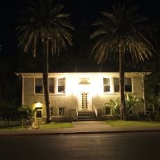
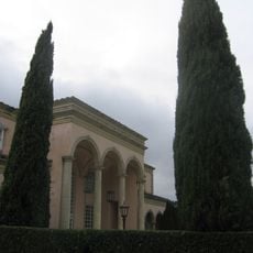
Lakeport Carnegie Library
United States of America

Lakeport Carnegie Library

9.2 mi
California Coast Ranges Biosphere Reserve
United States of America

California Coast Ranges Biosphere Reserve

14.6 mi
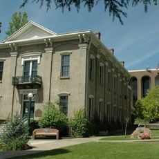
Old Lake County Courthouse
United States of America

Old Lake County Courthouse

9.3 mi
Ferrari-Carano vineyards and winery
United States of America

Ferrari-Carano vineyards and winery

25.3 mi
Reeve Wines
United States of America

Reeve Wines

22.2 mi
Raven Arts Theater
United States of America

Raven Arts Theater

25.7 mi
Lambert Bridge
United States of America

Lambert Bridge

23.8 mi
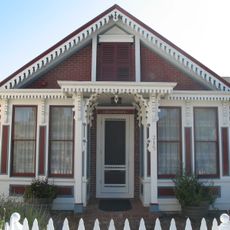
Gould-Shaw House
United States of America

Gould-Shaw House

17.8 mi
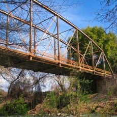
Warm Springs Creek Bridge
United States of America

Warm Springs Creek Bridge

22.4 mi
Lake Sonoma
United States of America

Lake Sonoma

22.8 mi
Show the full map
Reviews
Share your experience

No review yet

Discussions
Start a discussion...

No discussion yet

« Mount Konocti - Volcanic mountain in Lake County, California, US » is provided by Around Us (aroundus.com). Images and texts are derived from Wikimedia project under a Creative Commons license. You are allowed to copy, distribute, and modify copies of this page, under the conditions set by the license, as long as this note is clearly visible.

Discover hidden gems everywhere you go!

From secret cafés to breathtaking viewpoints, skip the crowded tourist spots and find places that match your style. Our app makes it easy with voice search, smart filtering, route optimization, and insider tips from travelers worldwide. Download now for the complete mobile experience.
Around Us App Screenshot

A unique approach to discovering new places

Le Figaro

All the places worth exploring

France Info

A tailor-made excursion in just a few clicks

20 Minutes

Around Us
Travel Guide & Maps
Download

Send to your phone

QR Code
1

Open the camera app on your mobile.

2

Point at the QR code with your camera. A notification will appear.

3

Tap the notification to open the link.