Blue Ridge Berryessa Natural Area, Protected natural area in northern California, United States
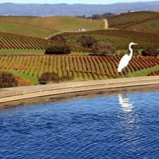
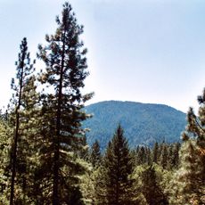
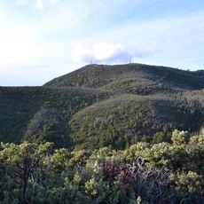
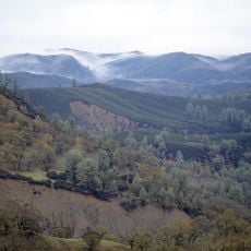
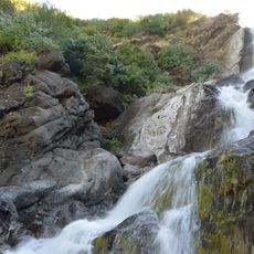
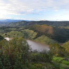
Blue Ridge Berryessa Natural Area is a protected area in northern California that covers a mix of open grassland, oak woodland, ridgelines, and the shores of Lake Berryessa. Several creeks run through the land, draining into the Sacramento River watershed to the north.
The area was established as a conservation partnership in 1997, partly in response to environmental damage caused by mercury mining in the hills. Over the following years, the partnership grew to bring in more landowners, agencies, and conservation groups across the region.
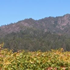
The name of the area comes from the Blue Ridge, a long ridge that runs above Lake Berryessa and is visible from many points below. Ranching has shaped much of the open land here, and cattle can still be seen grazing on the hillsides today.
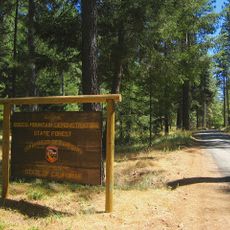
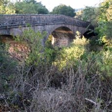
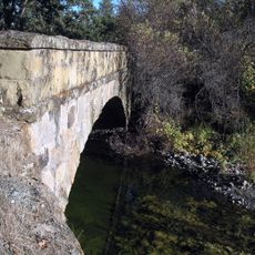
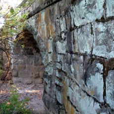
The parking area near Monticello Dam, close to Napa, is the main starting point for most trails in the area. Trail surfaces can become very dry and hard in summer or muddy after rain, so it helps to check conditions before heading out.
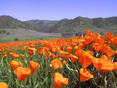
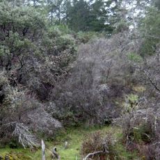
The area sits at the meeting point of two of California's major plant zones, which means desert shrubs and cool-climate oaks grow side by side within a short walking distance. This overlap draws a wide range of birds and mammals that are not typically found together in one place.
The community of curious travelers
AroundUs brings together thousands of curated places, local tips, and hidden gems, enriched daily by 60,000 contributors worldwide.