Chest opened
+${chestReward.xp} XP
Explorer
NOUVEAU ×${chestReward.collectible.quantity}
tapez pour fermer
Chest locked

Open chests in the app

Around Us is built for your phone — chests unlock when you walk, explore and capture nearby places.

Enable Location

We need your location to show you interesting places around you

Discover nearby places

Find interesting locations and hidden gems around you

Precise directions

Get accurate directions and distances to places

Your location is never shared with other users. It's only used when you tap the location button.

Coloma

Log in to your account

Start exploring — it's free

Trusted by 72,876 travelers worldwide

Continue with Google
Continue with Apple
or

We will send you a code to connect

By continuing, you accept our Terms and Conditions and our Privacy Policy

Check your inbox

We've sent a pincode in your inbox. Please enter the code below.

Discussion Reviews 1 Photos
38.7k Popularity

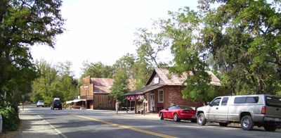
Coloma, Historic gold mining settlement in El Dorado County, California.

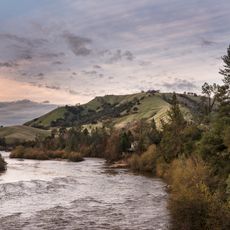
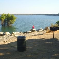
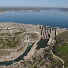
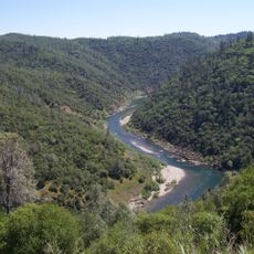
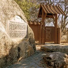
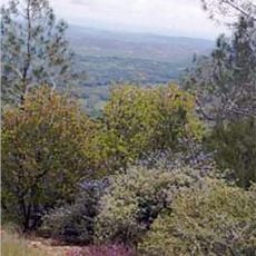
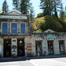
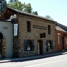
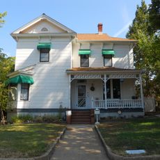
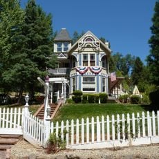
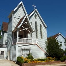
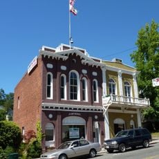
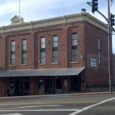
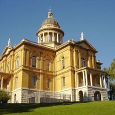
Coloma is a historic settlement in El Dorado County, California, where James W. Marshall discovered gold flakes in 1848, triggering the events that would reshape the region. The village sits in a wooded valley along the South Fork American River and displays restored buildings from the mining era.

Marshall's discovery of gold in January 1848 unleashed a wave of migration that rapidly populated the region and changed its future. The mining settlement grew quickly as fortune seekers arrived, eventually fading as the rush moved to other parts of California.

The settlement became the epicenter of the California Gold Rush, drawing people from around the world seeking fortune and new beginnings. The buildings and artifacts visible today reflect the lives of fortune seekers who arrived hoping to change their destinies.

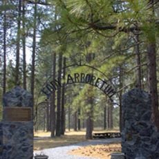
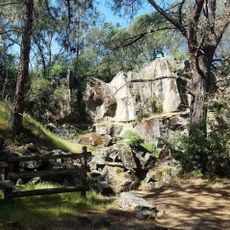
The site is best explored on foot, with most buildings and exhibits arranged within a compact area easy to navigate. Wear comfortable shoes and plan to spend several hours wandering through the museums and seeing how the settlement was laid out.

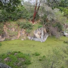
A large gold nugget weighing about 12 pounds (5.5 kg) discovered by miners in 1854 remains one of the most impressive specimens ever found in this area. This discovery shows that even years after the initial rush, significant amounts of gold could still be found nearby.

The community of curious travelers

AroundUs brings together thousands of curated places, local tips, and hidden gems, enriched daily by 60,000 contributors worldwide.

Start exploring
Location
Elevation above the sea
233 m
GPS coordinates
38.80278,-120.89444
Latest update
March 6, 2026 09:31
Around this place
American River
United States of America

American River

25.1 km
Foresthill Bridge
United States of America

Foresthill Bridge

18.3 km
Folsom Lake
United States of America

Folsom Lake

22.7 km
Folsom Dam
United States of America

Folsom Dam

25.1 km
Auburn Dam
United States of America

Auburn Dam

17 km
Folsom Lake State Recreation Area
United States of America

Folsom Lake State Recreation Area

22.2 km
Auburn State Recreation Area
United States of America

Auburn State Recreation Area

20.3 km
Lake Clementine
United States of America

Lake Clementine

18.6 km
Wakamatsu Tea and Silk Farm Colony
United States of America

Wakamatsu Tea and Silk Farm Colony

3.6 km
Pine Hill Ecological Reserve
United States of America

Pine Hill Ecological Reserve

12.5 km
John Pearson Soda Works
United States of America

John Pearson Soda Works

11.8 km
Griffith Quarry
United States of America

Griffith Quarry

24 km
United States of America

Carpenter Hill

24.7 km
Fountain-Tallman Soda Works
United States of America

Fountain-Tallman Soda Works

11.7 km
Mountain Quarries Bridge
United States of America

Mountain Quarries Bridge

17.6 km
Bernhard Museum Complex
United States of America

Bernhard Museum Complex

18.6 km
Combellack-Blair House
United States of America

Combellack-Blair House

12 km
Church of Our Saviour
United States of America

Church of Our Saviour

11.4 km
Faith Episcopal Church
United States of America

Faith Episcopal Church

19.3 km
Confidence Hall
United States of America

Confidence Hall

11.6 km
Auburn Public Library
United States of America

Auburn Public Library

18.8 km
Eddy Arboretum
United States of America

Eddy Arboretum

11.6 km
Auburn Masonic Temple
United States of America

Auburn Masonic Temple

18.7 km
Oddfellows Hall
United States of America

Oddfellows Hall

18.9 km
Griffith Quarry Park & Museum
United States of America

Griffith Quarry Park & Museum

23.9 km
Sutter's Mill Site
United States of America

Sutter's Mill Site

203 m
Placer County Courthouse
United States of America

Placer County Courthouse

19 km
Johnny Cash Trail Bridge
United States of America

Johnny Cash Trail Bridge

24.7 km
Show the full map
Reviews
Share your experience

No review yet

Discussions
Start a discussion...

No discussion yet

« Coloma - Historic gold mining settlement in El Dorado County, California » is provided by Around Us (aroundus.com). Images and texts are derived from Wikimedia project under a Creative Commons license. You are allowed to copy, distribute, and modify copies of this page, under the conditions set by the license, as long as this note is clearly visible.

Discover hidden gems everywhere you go!

From secret cafés to breathtaking viewpoints, skip the crowded tourist spots and find places that match your style. Our app makes it easy with voice search, smart filtering, route optimization, and insider tips from travelers worldwide. Download now for the complete mobile experience.

Around Us App Screenshot

A unique approach to discovering new places

Le Figaro

All the places worth exploring

France Info

A tailor-made excursion in just a few clicks

20 Minutes

Around Us
Travel Guide & Maps
Download

Send to your phone

QR Code
1

Open the camera app on your mobile.

2

Point at the QR code with your camera. A notification will appear.

3

Tap the notification to open the link.