El Dorado Hills, Census-designated place in El Dorado County, California
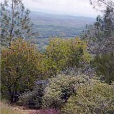
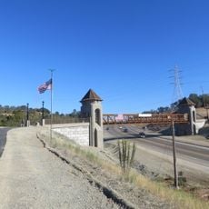
El Dorado Hills is a census-designated place in El Dorado County, California, spreading over roughly 48 square miles of gentle hills at around 760 feet (233 meters) elevation. The community sits northeast of Sacramento and divides into several residential neighborhoods with shopping centers, schools and parks scattered throughout.
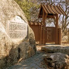
Planning for the community started in the 1960s when architect Victor Gruen drafted a design for residential villages. Since then development has grown steadily, drawing commuters who work in the wider Sacramento region.
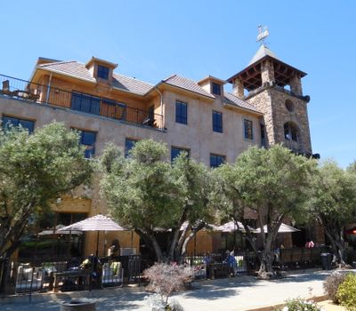
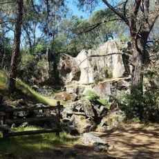
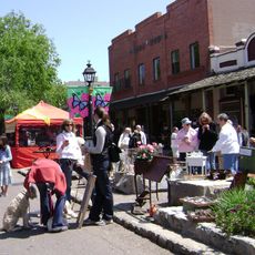
The name recalls the Gold Rush era, when settlers believed they had found the legendary land of gold. Today the community centers around golf courses and walking trails, while local shops and cafés draw neighbors who stop to chat and meet.
Several highways connect the area to Sacramento, making it straightforward for daily commuters. Public schools, shopping centers and parks are spread throughout, and most locations are easiest to reach by car.
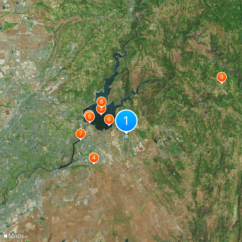
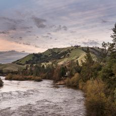
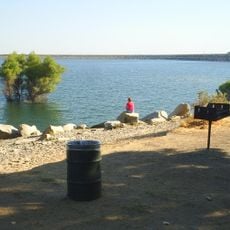
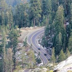
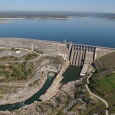
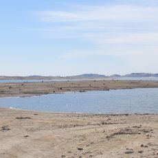
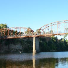
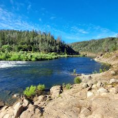
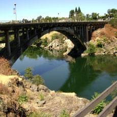
Folsom Lake and the South Fork of the American River mark the northern boundary, offering spots for water activities and shoreline paths. On warm weekends locals gather at beaches and picnic areas along the water.
The community of curious travelers
AroundUs brings together thousands of curated places, local tips, and hidden gems, enriched daily by 60,000 contributors worldwide.