Chest opened
+${chestReward.xp} XP
Explorer
NOUVEAU ×${chestReward.collectible.quantity}
tapez pour fermer
Chest locked

Open chests in the app

Around Us is built for your phone — chests unlock when you walk, explore and capture nearby places.

Enable Location

We need your location to show you interesting places around you

Discover nearby places

Find interesting locations and hidden gems around you

Precise directions

Get accurate directions and distances to places

Your location is never shared with other users. It's only used when you tap the location button.

Log in to your account

Start exploring — it's free

Trusted by 72,889 travelers worldwide

Continue with Google
Continue with Apple
or

We will send you a code to connect

By continuing, you accept our Terms and Conditions and our Privacy Policy

Check your inbox

We've sent a pincode in your inbox. Please enter the code below.

Discussion Reviews Photo
25k Popularity

Happy Camp, Census-designated place in Siskiyou County, California.

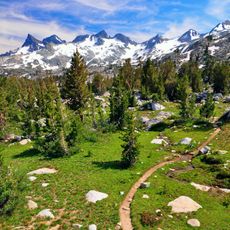
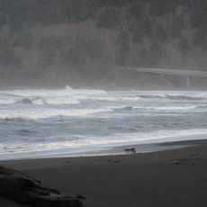
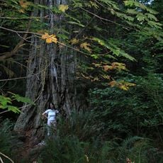
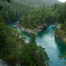
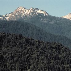
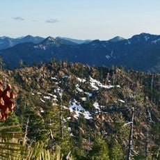
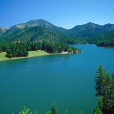
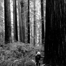
Happy Camp is a small settlement in Siskiyou County, California, situated in the Klamath River Valley. It sits at an elevation of about 505 meters (1,650 feet) and is surrounded by dense forest land.

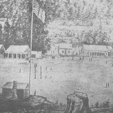
The settlement began in the 1850s during the California Gold Rush when miners found gold along the Klamath River. The name came from miners who were happy with their discoveries in the area.

This place serves as the administrative center of the Karuk Tribe and a hub for keeping their traditions alive. Visitors can see how the community gathers here throughout the year to celebrate and share their heritage.

You can drive here from Eureka in about three and a half hours or from Yreka in about two hours. Winter roads can be challenging in this area, so it's wise to check conditions before traveling.

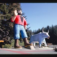
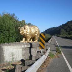
The town is known for a giant Bigfoot statue and an annual festival dedicated to this legendary creature. These attractions show how much the place embraces local Bigfoot folklore and traditions.

The community of curious travelers

AroundUs brings together thousands of curated places, local tips, and hidden gems, enriched daily by 60,000 contributors worldwide.

Start exploring
Location
Elevation above the sea
505 m
GPS coordinates
41.79056,-123.38889
Latest update
December 20, 2025 11:49
Around this place
Pacific Crest Trail
United States of America

Pacific Crest Trail

46.2 km
Redwood National and State Parks
United States of America

Redwood National and State Parks

62.8 km
Bigfoot trap
United States of America

Bigfoot trap

35.6 km
Jedediah Smith Redwoods State Park
United States of America

Jedediah Smith Redwoods State Park

59.1 km
Trees of Mystery
United States of America

Trees of Mystery

62.3 km
Del Norte Coast Redwoods State Park
United States of America

Del Norte Coast Redwoods State Park

57.2 km
Lost Monarch
United States of America

Lost Monarch

58 km
Marble Mountain Wilderness
United States of America

Marble Mountain Wilderness

36.1 km
Smith River National Recreation Area
United States of America

Smith River National Recreation Area

39.1 km
Red Buttes Wilderness
United States of America

Red Buttes Wilderness

24.4 km
Siskiyou Wilderness
United States of America

Siskiyou Wilderness

32.3 km
Applegate Lake
United States of America

Applegate Lake

37.2 km
Oregon Caves Chateau
United States of America

Oregon Caves Chateau

34.3 km
Great Cats World Park
United States of America

Great Cats World Park

45 km
McKee Bridge
United States of America

McKee Bridge

45.6 km
Bear Mountain
United States of America

Bear Mountain

23.5 km
Preston Peak
United States of America

Preston Peak

19.2 km
Camp Lincoln
United States of America

Camp Lincoln

62.1 km
Oregon Caves Historic District
United States of America

Oregon Caves Historic District

34 km
Sawyers Bar Catholic Church
United States of America

Sawyers Bar Catholic Church

58.4 km
Cedar Guard Station
United States of America

Cedar Guard Station

39.4 km
Redwood Experimental Forest
United States of America

Redwood Experimental Forest

62.2 km
Yreka Carnegie Library
United States of America

Yreka Carnegie Library

62.7 km
Gasquet Ranger Station Historic District
United States of America

Gasquet Ranger Station Historic District

48.2 km
Forest House
United States of America

Forest House

59.9 km
Klamath River Bridge
United States of America

Klamath River Bridge

61.4 km
Dutchman Peak Lookout
United States of America

Dutchman Peak Lookout

49.9 km
Acorn Woman Peak Lookout
United States of America

Acorn Woman Peak Lookout

44.1 km
Show the full map
Reviews
Share your experience

No review yet

Discussions
Start a discussion...

No discussion yet

« Happy Camp - Census-designated place in Siskiyou County, California » is provided by Around Us (aroundus.com). Images and texts are derived from Wikimedia project under a Creative Commons license. You are allowed to copy, distribute, and modify copies of this page, under the conditions set by the license, as long as this note is clearly visible.

Discover hidden gems everywhere you go!

From secret cafés to breathtaking viewpoints, skip the crowded tourist spots and find places that match your style. Our app makes it easy with voice search, smart filtering, route optimization, and insider tips from travelers worldwide. Download now for the complete mobile experience.

Around Us App Screenshot

A unique approach to discovering new places

Le Figaro

All the places worth exploring

France Info

A tailor-made excursion in just a few clicks

20 Minutes

Around Us
Travel Guide & Maps
Download

Send to your phone

QR Code
1

Open the camera app on your mobile.

2

Point at the QR code with your camera. A notification will appear.

3

Tap the notification to open the link.