
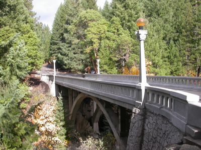
North Fork Rogue River Bridge, Arch bridge in Jackson County, Oregon, USA; Jackson County, Oregon, USA
Location: Jackson County
GPS coordinates: 42.74577,-122.49558
Latest update: September 23, 2025 16:56
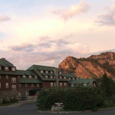
Crater Lake Lodge
34.2 km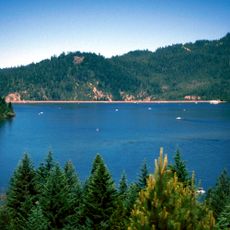
Lost Creek Lake
14.8 km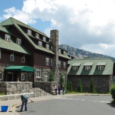
Rim Village Historic District
34.1 km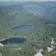
Sky Lakes Wilderness
25.9 km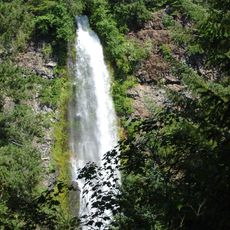
Prospect State Scenic Viewpoint
887 m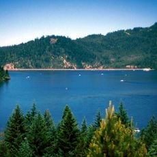
Joseph H. Stewart State Recreation Area
12.2 km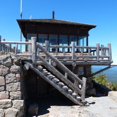
Watchman Lookout Station
34.3 km
Union Peak
24.2 km
Casey State Recreation Site
18.8 km
Sinnott Memorial Observation Station
34.2 km
Comfort Station No. 72
33.9 km
Crater Lake Superintendent's Residence
33.9 km
Comfort Station No. 68
34 km
Mill Creek Falls
611 m
Munson Valley Historic District
34 km
Imnaha Guard Station
14.2 km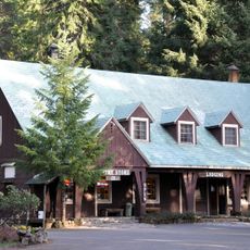
Union Creek Historic District
18.4 km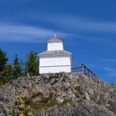
Hershberger Mountain Lookout
32.2 km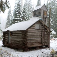
Whaleback Snow-Survey Cabin
19.7 km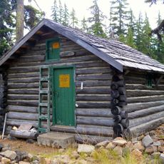
Honeymoon Creek Snow-Survey Cabin
25.9 km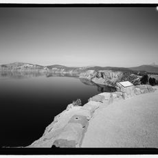
Rim Drive Historic District
34.2 km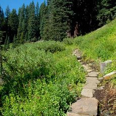
Castle Crest Wildflower Trail
34 km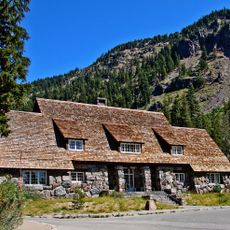
Administration Building
34 km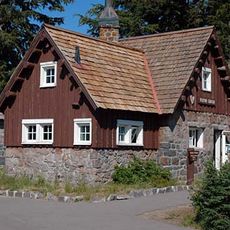
Rim Visitor Center
34.1 km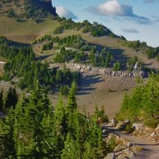
Watchman Peak Trail
34.2 km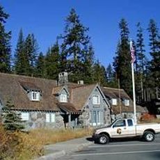
Steel Visitor Center
34 km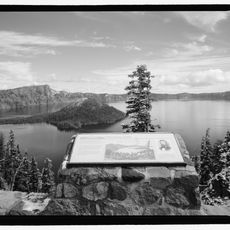
Discovery Point
33.4 km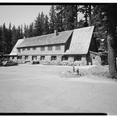
Mess Hall
33.9 kmReviews
Visited this place? Tap the stars to rate it and share your experience / photos with the community! Try now! You can cancel it anytime.
Discover hidden gems everywhere you go!
From secret cafés to breathtaking viewpoints, skip the crowded tourist spots and find places that match your style. Our app makes it easy with voice search, smart filtering, route optimization, and insider tips from travelers worldwide. Download now for the complete mobile experience.

A unique approach to discovering new places❞
— Le Figaro
All the places worth exploring❞
— France Info
A tailor-made excursion in just a few clicks❞
— 20 Minutes