Oakridge, city in Oregon, USA
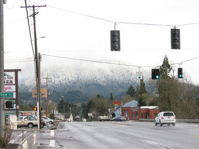
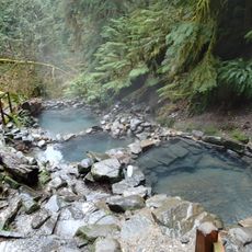
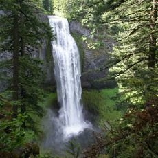
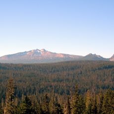
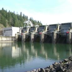
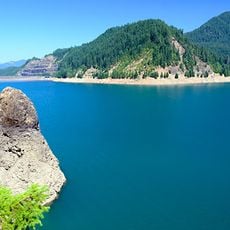
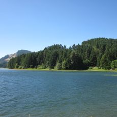
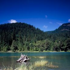
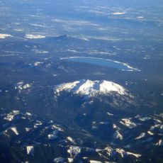
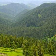
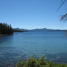
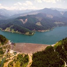
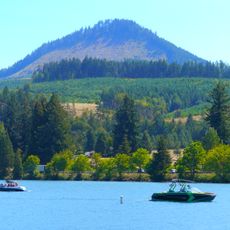
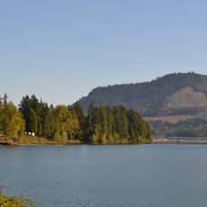
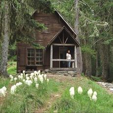
Oakridge is a small city nestled in the forests and mountains of Oregon, surrounded by tall trees and vast natural areas. The town sits in a deep valley with clear rivers, lakes, and waterfalls, while quiet streets and the scent of pine fill the air.
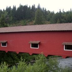
Originally called Hazeldell, the settlement began in the late 1800s when a post office opened in 1888 and a railroad arrived shortly after. The railway transformed Oakridge into a lumber processing hub that attracted workers for generations until mills closed starting in the 1980s.
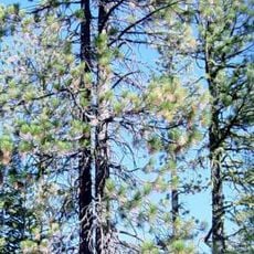
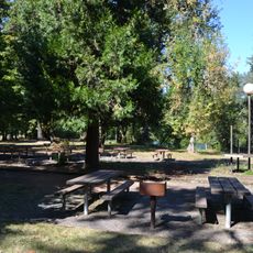
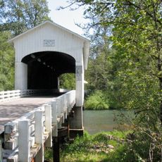
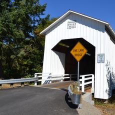
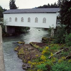
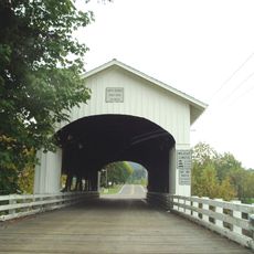
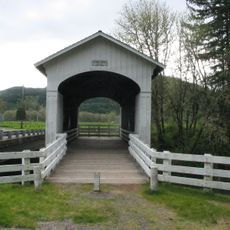
The name Oakridge refers to the oak trees and ridges that define the landscape. Wooden architecture throughout town reflects the community's connection to forestry, and local shops display handcrafted items and outdoor gear that show how central nature remains to local life.
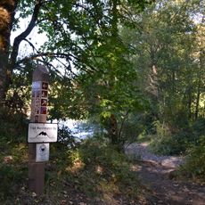
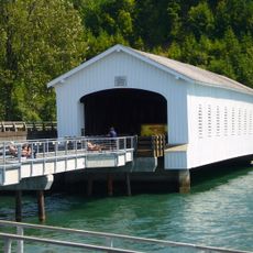
The town is accessible via Highway 58, which crosses the mountains and connects to larger cities nearby. From here, visitors can easily explore nearby trails, lakes, and waterfalls, making it a good base for day trips and outdoor activities.
The town has earned a reputation as the mountain biking capital of the northwest, attracting riders from far away. The Aufderheide Drive is a renowned scenic route that winds through forest and mountains, drawing cyclists and drivers who come to experience the beauty of the winding path.
The community of curious travelers
AroundUs brings together thousands of curated places, local tips, and hidden gems, enriched daily by 60,000 contributors worldwide.