Chest opened
+${chestReward.xp} XP
Explorer
NOUVEAU ×${chestReward.collectible.quantity}
tapez pour fermer

See the monuments around you in AR Open chests in the app

Around Us is built for your phone — point your camera at the streets and discover the monuments and places around you in augmented reality. Around Us is built for your phone — chests unlock when you walk, explore and capture nearby places.

•

Enable Location

We need your location to show you interesting places around you

Discover nearby places

Find interesting locations and hidden gems around you

Precise directions

Get accurate directions and distances to places

Your location is never shared with other users. It's only used when you tap the location button.

Cascades

Log in to your account

Start exploring — it's free

Trusted by 94,497 travelers worldwide

Continue with Google
Continue with Apple
or

We will send you a code to connect

By continuing, you accept our Terms and Conditions and our Privacy Policy

Check your inbox

We've sent a pincode in your inbox. Please enter the code below.

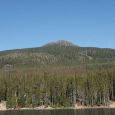
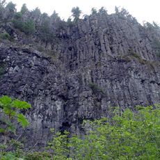
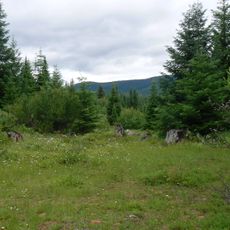
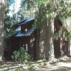
Cascades, WWF ecoregion in Oregon, United States

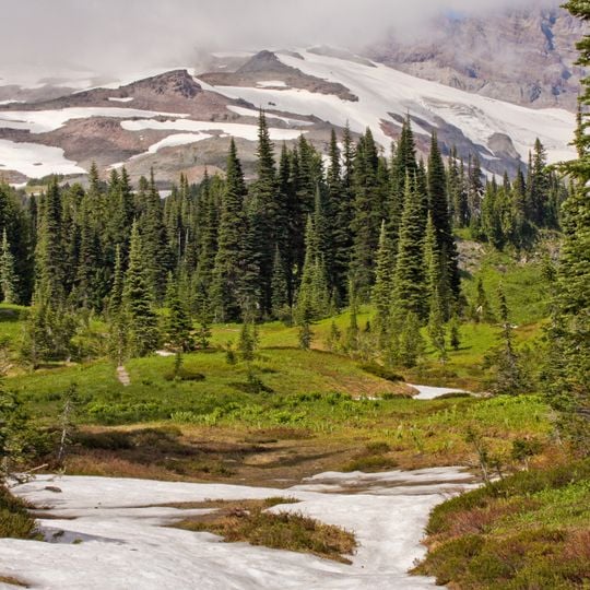
Cascades is a WWF ecoregion in Oregon, United States, covering the Oregon portion of the Cascade Range. It spans a long north-south band of mountains, foothills, and valleys, with wet western slopes and drier eastern sides.

The ecoregion was shaped by volcanic activity over millions of years, and native peoples have lived in the area for thousands of years. In the 19th century, settlers arrived via the Oregon Trail, and later conservation efforts led to the protection of large forest areas.

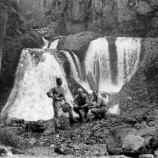
The name Cascades comes from the many waterfalls along the Columbia River, a feature that early travelers and mapmakers noted. Today, small towns and visitor centers along the range use the name to mark their place in this mountain landscape.

Access is easiest from the main north-south highways, with many trailheads and forest roads leading into the mountains. Weather changes fast with elevation, so carry layers and check road conditions before setting out.

The ecoregion contains the deepest lake in the United States, Crater Lake, which sits in a collapsed volcano. Another surprise is the presence of old-growth forests with trees that can live for over a thousand years.

The community of curious travelers

AroundUs brings together thousands of curated places, local tips, and hidden gems, enriched daily by 94,497 contributors worldwide.
Start exploring
Location
GPS coordinates
45.00000,-122.00000
Latest update
November 10, 2026 13:59
Around this place
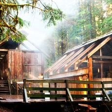
Bagby Hot Springs
United States of America

Bagby Hot Springs

9.6 mi
Opal Creek Wilderness
United States of America

Opal Creek Wilderness

14.7 mi
Little Crater Lake
United States of America

Little Crater Lake

15.9 mi
Timothy Lake
United States of America

Timothy Lake

13.2 mi
Bull of the Woods Wilderness
United States of America

Bull of the Woods Wilderness

10.6 mi
Olallie Butte
United States of America

Olallie Butte

16.9 mi
Table Rock Wilderness
United States of America

Table Rock Wilderness

17 mi
Clackamas Wilderness
United States of America

Clackamas Wilderness

10.8 mi
Clackamas Lake Ranger Station Historic District
United States of America

Clackamas Lake Ranger Station Historic District

13.9 mi
Frustration Falls
United States of America

Frustration Falls

17.8 mi
Bagby Guard Station
United States of America

Bagby Guard Station

9.6 mi
Olallie Lake Guard Station
United States of America

Olallie Lake Guard Station

16.5 mi
Pechuck Lookout
United States of America

Pechuck Lookout

15.2 mi
United States of America

Bagby Hot Springs Recreation Site

9.6 mi
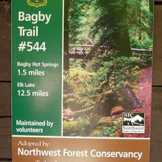
Bagby Trail
United States of America

Bagby Trail

2.6 mi
United States of America

Clackamas Lake Historic Guard Station

14 mi
United States of America

Breitenbush Hot Springs Parking

15.5 mi
United States of America

Three Pools

18.8 mi
United States of America

Jawbone Flats

14.8 mi
United States of America

Bagby Hot Springs

9.6 mi
United States of America

Scenic viewpoint

15.9 mi
United States of America

Scenic viewpoint

16.1 mi
United States of America

Scenic viewpoint

14.1 mi
United States of America

Scenic viewpoint

15.5 mi
United States of America

Scenic viewpoint

16.9 mi
United States of America

Henline Mountain Viewpoint

18.3 mi
United States of America

Scenic viewpoint

15.2 mi
United States of America

Scenic viewpoint

14.2 mi
Show the full map
Reviews
Share your experience

No review yet

Discussions
Start a discussion...

No discussion yet

« Cascades - WWF ecoregion in Oregon, United States » is provided by Around Us (aroundus.com). Images and texts are derived from Wikimedia project under a Creative Commons license. You are allowed to copy, distribute, and modify copies of this page, under the conditions set by the license, as long as this note is clearly visible.

Discover hidden gems everywhere you go!

From secret cafés to breathtaking viewpoints, skip the crowded tourist spots and find places that match your style. Our app makes it easy with voice search, smart filtering, route optimization, and insider tips from travelers worldwide. Download now for the complete mobile experience.

Around Us App Screenshot
❝

A unique approach to discovering new places❞

— Le Figaro

❝

All the places worth exploring❞

— France Info

❝

A tailor-made excursion in just a few clicks❞

— 20 Minutes

Around Us
Travel Guide & Maps
Download

Send to your phone

QR Code
1

Open the camera app on your mobile.

2

Point at the QR code with your camera. A notification will appear.

3

Tap the notification to open the link.