Willamette Falls, Natural waterfall in Oregon City, United States.
Willamette Falls is a horseshoe-shaped waterfall on the Willamette River between Oregon City and West Linn, 1,500 feet (455 m) wide and 40 feet (12 m) high, with a flow of about 30,850 cubic feet per second. Beside the white curtain of water, a pale concrete industrial building with rows of rectangular windows and three semicircular arches at its base stands on a rocky footing, and a pipe releases a small stream next to it.
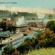
Engineers built a lock in 1873 that allowed boats to navigate around the falls, and the system remained in operation until 2011. Industrial operations grew along the riverbank, using the power of the falling water to drive mills and factories.
The falls were home to Charcowah, a village of the Clowewalla band of Tumwaters, an upper Chinookan-speaking people, until the Willamette Valley Treaty of 1855 ceded the land and members were removed to the Grand Ronde and Siletz reservations. Salmon runs drew tribes from across the region to fish and trade here. Today the Yakama, Grand Ronde, Siletz, Umatilla and Warm Springs tribes still harvest ceremonial salmon and collect lamprey in summer.
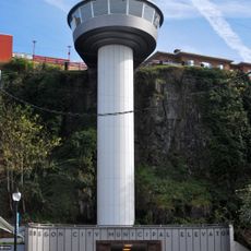
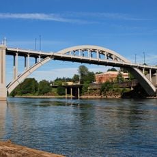
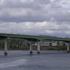
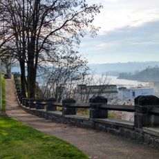
Public access to the falls has long been limited: the falls' base was closed to the public for over a century of industrial use, and a riverwalk on the former Blue Heron paper mill site was still being planned as of 2017. Views are possible from the bluffs of Oregon City, a signed viewpoint along Highway 99E, the Oregon City Bridge, northbound I-205, and from boats on the river.
The hydroelectric station at the base of the falls has generated electricity since the 1880s and powered the first long-distance transmission line in North America. Cables carried power 14 miles to Portland, showing that energy could move across distances.
The community of curious travelers
AroundUs brings together thousands of curated places, local tips, and hidden gems, enriched daily by 92,883 contributors worldwide.