Chest opened
+${chestReward.xp} XP
Explorer
NOUVEAU ×${chestReward.collectible.quantity}
tapez pour fermer
Chest locked

Open chests in the app

Around Us is built for your phone — chests unlock when you walk, explore and capture nearby places.

Enable Location

We need your location to show you interesting places around you

Discover nearby places

Find interesting locations and hidden gems around you

Precise directions

Get accurate directions and distances to places

Your location is never shared with other users. It's only used when you tap the location button.

Harstine Island

Log in to your account

Start exploring — it's free

Trusted by 72,939 travelers worldwide

Continue with Google
Continue with Apple
or

We will send you a code to connect

By continuing, you accept our Terms and Conditions and our Privacy Policy

Check your inbox

We've sent a pincode in your inbox. Please enter the code below.

Harstine Island
Discussion Reviews 1 Photos
12.2k Popularity

Harstine Island, Public island in Mason County, United States

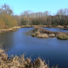
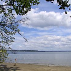
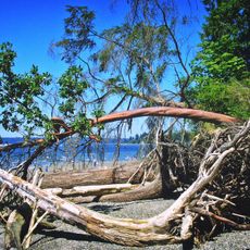
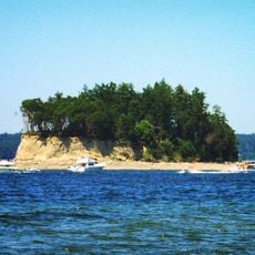
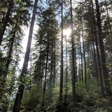
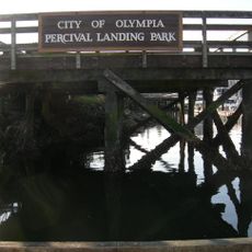
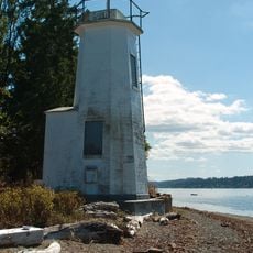
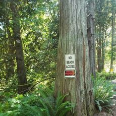
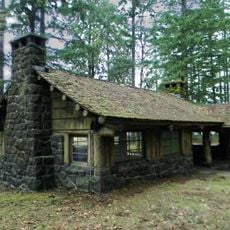
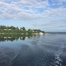
Harstine Island is a wooded island in Mason County, Washington, situated in the southern Puget Sound region north of Olympia. The landscape features forested hills, waterfront areas, and natural terrain that creates varied topography across the island.

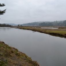
The Wilkes Expedition explored the region in 1838 and named the island after Lieutenant Henry J Hartstene of the United States Navy. This exploration helped map the waters and geography of the southern Puget Sound area.

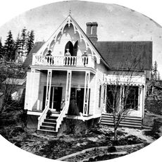
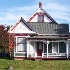
The island's name reflects a piece of local identity, having been officially standardized after years of spelling variations in community records. Residents view their home as a distinct waterfront community shaped by its position in southern Puget Sound.

A bridge built in 1969 connects the island to mainland Washington, replacing the former ferry service. Visitors can access the island freely by vehicle or on foot at any time throughout the day.

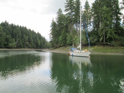
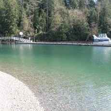
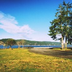
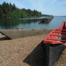
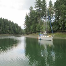
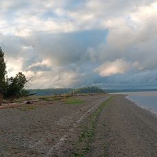
Jarrell Cove State Park on the island provides saltwater shoreline access with boat moorage and camping facilities along the water. The park draws visitors seeking coastal recreation and waterfront activities.

The community of curious travelers

AroundUs brings together thousands of curated places, local tips, and hidden gems, enriched daily by 60,000 contributors worldwide.

Start exploring
Location
GPS coordinates
47.23218,-122.89004
Latest update
December 7, 2025 20:46
Around this place
Billy Frank Jr. Nisqually National Wildlife Refuge
United States of America

Billy Frank Jr. Nisqually National Wildlife Refuge

20.5 km
Tolmie State Park
United States of America

Tolmie State Park

15.3 km
Penrose Point State Park
United States of America

Penrose Point State Park

11.4 km
Twanoh State Park
United States of America

Twanoh State Park

16.9 km
Kopachuck State Park
United States of America

Kopachuck State Park

18.5 km
Cutts Island State Park
United States of America

Cutts Island State Park

18.2 km
Woodard Bay Natural Resources Conservation Area
United States of America

Woodard Bay Natural Resources Conservation Area

11.2 km
Joemma Beach State Park
United States of America

Joemma Beach State Park

6.3 km
Jarrell Cove State Park
United States of America

Jarrell Cove State Park

5.7 km
Kennedy Creek Natural Area Preserve
United States of America

Kennedy Creek Natural Area Preserve

20.6 km
Daniel R. Bigelow House
United States of America

Daniel R. Bigelow House

20.3 km
Percival Landing Park
United States of America

Percival Landing Park

20.7 km
Olympia Downtown Historic District
United States of America

Olympia Downtown Historic District

21 km
Dofflemyer Point Light
United States of America

Dofflemyer Point Light

10.3 km
Bigelow Neighborhood
United States of America

Bigelow Neighborhood

20.2 km
Mottman Building
United States of America

Mottman Building

20.9 km
American Legion Hall
United States of America

American Legion Hall

21.1 km
Captain Calvin and Pamela Hale House
United States of America

Captain Calvin and Pamela Hale House

20.1 km
Fox Island School
United States of America

Fox Island School

20.4 km
Joemma Beach
United States of America

Joemma Beach

6.2 km
Old Capitol Building
United States of America

Old Capitol Building

21.1 km
Washington Center for the Performing Arts
United States of America

Washington Center for the Performing Arts

21 km
State Theater
United States of America

State Theater

20.8 km
Countryside Beach
United States of America

Countryside Beach

13.9 km
Twanoh State Park Kitchen 1
United States of America

Twanoh State Park Kitchen 1

17.5 km
Simpson Logging Company Locomotive No. 7 and Peninsular Railway Caboose No. 700
United States of America

Simpson Logging Company Locomotive No. 7 and Peninsular Railway Caboose No. 700

16.1 km
Fudge Point
United States of America

Fudge Point

2.5 km
Johnson Point
United States of America

Johnson Point

8.3 km
Show the full map
Reviews
Share your experience

No review yet

Discussions
Start a discussion...

No discussion yet

« Harstine Island - Public island in Mason County, United States » is provided by Around Us (aroundus.com). Images and texts are derived from Wikimedia project under a Creative Commons license. You are allowed to copy, distribute, and modify copies of this page, under the conditions set by the license, as long as this note is clearly visible.

Discover hidden gems everywhere you go!

From secret cafés to breathtaking viewpoints, skip the crowded tourist spots and find places that match your style. Our app makes it easy with voice search, smart filtering, route optimization, and insider tips from travelers worldwide. Download now for the complete mobile experience.

Around Us App Screenshot

A unique approach to discovering new places

Le Figaro

All the places worth exploring

France Info

A tailor-made excursion in just a few clicks

20 Minutes

Around Us
Travel Guide & Maps
Download

Send to your phone

QR Code
1

Open the camera app on your mobile.

2

Point at the QR code with your camera. A notification will appear.

3

Tap the notification to open the link.