
Selah Cliffs Natural Area Preserve, natural area in Yakima County, Washington state, United States of America
Location: Yakima County
Website: https://www.dnr.wa.gov/SelahCliffs
Operator: Washington State Department of Natural Resources
Website: https://dnr.wa.gov/SelahCliffs
GPS coordinates: 46.70561,-120.45458
Latest update: July 30, 2025 00:25

Iron Horse State Park
29.8 km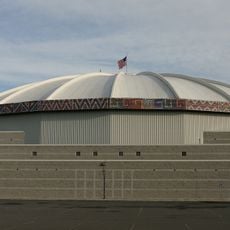
Yakima SunDome
13.2 km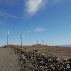
Wild Horse Wind and Solar Facility
39.3 km
Whiskey Dick Mountain
39.4 km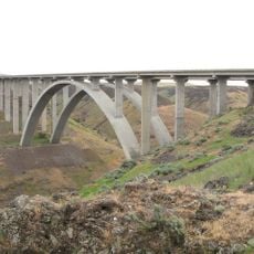
Fred G. Redmon Bridge
1.2 km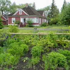
Olmstead Place State Park
29.5 km
Beverly Railroad Bridge
41.1 km
Priest Rapids
37.2 km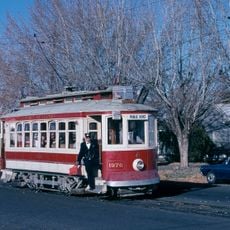
Yakima Electric Railway Museum
13 km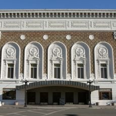
Capitol Theatre, Yakima
12 km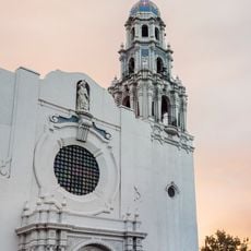
St. Paul Cathedral
13.4 km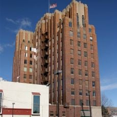
A. E. Larson Building
12.1 km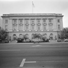
William O. Douglas Federal Building
12.1 km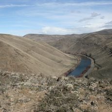
Umtanum Ridge Water Gap
17.5 km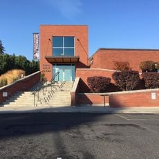
Yakima Valley Museum
14.1 km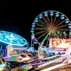
Central Washington State Fair
13.2 km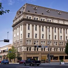
Masonic Temple
11.9 km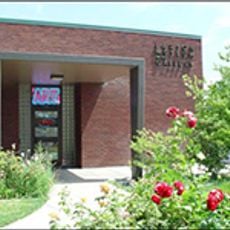
Larson Gallery
14.5 km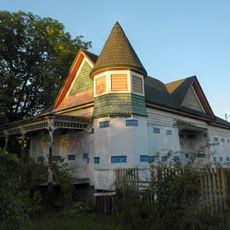
Powell House
11.9 km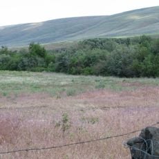
Kamiakin's Gardens
34.5 km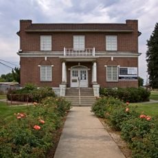
Yakima Indian Agency Building
37.9 km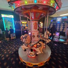
Yakima Family Fun Center
17.8 km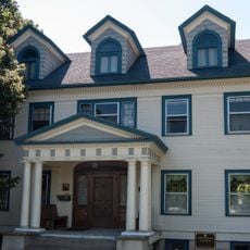
E. William Brackett House
14.3 km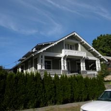
Reuben Sweet House
13.2 km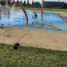
Water Playground
12.5 km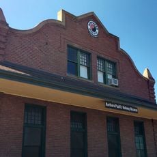
Railway Museum
38.4 km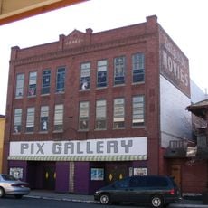
Pix Gallery
38.3 km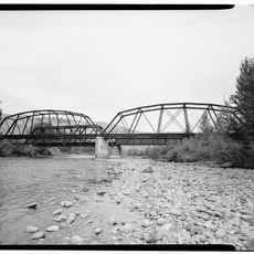
Naches River Railroad Bridge
10 kmReviews
Visited this place? Tap the stars to rate it and share your experience / photos with the community! Try now! You can cancel it anytime.
Discover hidden gems everywhere you go!
From secret cafés to breathtaking viewpoints, skip the crowded tourist spots and find places that match your style. Our app makes it easy with voice search, smart filtering, route optimization, and insider tips from travelers worldwide. Download now for the complete mobile experience.

A unique approach to discovering new places❞
— Le Figaro
All the places worth exploring❞
— France Info
A tailor-made excursion in just a few clicks❞
— 20 Minutes