
Ahtanum State Forest, state managed forest in Yakima County, Washington state, Department of Natural Resources
Location: Yakima County
Website: https://www.dnr.wa.gov/Ahtanum
Operator: Washington Department of Natural Resources
Website: https://dnr.wa.gov/Ahtanum
GPS coordinates: 46.54754,-121.04681
Latest update: March 30, 2025 14:48

Goat Rocks Wilderness
31.4 km
Fort Simcoe
28.1 km
Rimrock Lake
13.7 km
William O. Douglas Wilderness
35.3 km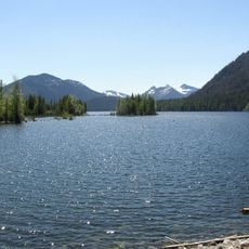
Bumping Lake
39.7 km
Gilbert Peak
28.4 km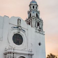
St. Paul Cathedral
40.2 km
Silver Falls
45.3 km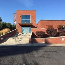
Yakima Valley Museum
39.3 km
Packwood Glacier
31.8 km
Shriner Peak Fire Lookout
47.4 km
McCall Glacier
30.4 km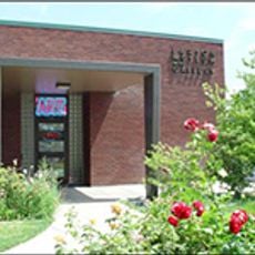
Larson Gallery
39.9 km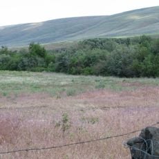
Kamiakin's Gardens
17 km
Three Lakes Patrol Cabin
40.5 km
La Wis Wis Guard Station No. 1165
43.5 km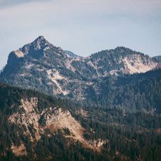
Dewey Peak
46.8 km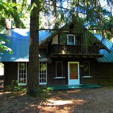
Edgar Rock Lodge
41.6 km
Yakima Family Fun Center
34 km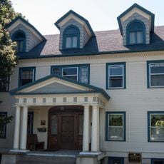
E. William Brackett House
38.8 km
Reuben Sweet House
40.2 km
Deer Creek Bridge
47.9 km
Ohanapecosh Comfort Station No. O-303
45 km
Ohanapecosh Comfort Station No. O-302
44.8 km
Ohanapecosh Campground
45 km
Ohanapecosh Visitor Center
44.9 km
Crag Mountain
38.7 km
Ohanapecosh Campground Amphitheater
45 kmReviews
Visited this place? Tap the stars to rate it and share your experience / photos with the community! Try now! You can cancel it anytime.
Discover hidden gems everywhere you go!
From secret cafés to breathtaking viewpoints, skip the crowded tourist spots and find places that match your style. Our app makes it easy with voice search, smart filtering, route optimization, and insider tips from travelers worldwide. Download now for the complete mobile experience.

A unique approach to discovering new places❞
— Le Figaro
All the places worth exploring❞
— France Info
A tailor-made excursion in just a few clicks❞
— 20 Minutes