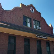
Toppenish, city in Yakima County, Washington, United States
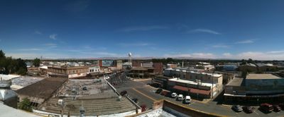
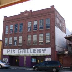
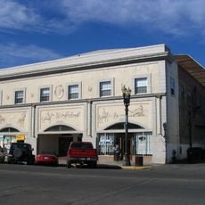
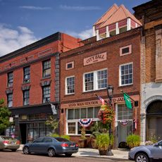
Toppenish is a small town in the Yakima Valley region notable for its extensive murals painted on building walls throughout the downtown area. The place combines historic wooden structures with modern brick buildings, featuring more than 75 large-scale artworks that tell stories from the town's past and agriculture heritage.
The town was founded and named in 1885 by the Northern Pacific Railway following establishment of the Yakama reservation. The name comes from the Yakama word meaning 'people from the foot of the hills' and marks a key junction where railway expansion, agriculture, and Native settlement converged.
The town carries the name of the Yakama people, whose reservation centered here and continues to shape community life today. Visitors can experience this influence through local museums, shops selling traditional crafts, and cultural events held throughout the year.
The town is easy to explore by car or on foot given its compact size and walkable downtown area. A visitor center provides maps, restrooms, and information for those traveling through the region.
The town features one of the tallest flagpoles in the United States at 167 feet tall, displaying two massive American flags. Each year on the first Saturday of June, a new mural is painted in a single day, a tradition that brings the community together and continuously refreshes the town's artistic identity.
The community of curious travelers
AroundUs brings together thousands of curated places, local tips, and hidden gems, enriched daily by 60,000 contributors worldwide.