
Sol Duc River Bridge
Location: Clallam County
Inception: 1948
GPS coordinates: 48.06286,-124.11569
Latest update: March 10, 2025 11:35
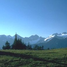
Olympic Mountains
33.1 km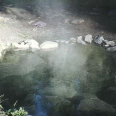
Olympic Hot Springs
35.2 km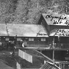
Sol Duc Hot Springs
33 km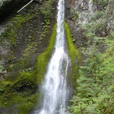
Marymere Falls
24.4 km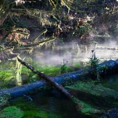
Hall of Mosses Trail
26.4 km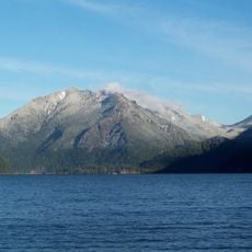
Mount Storm King
27.9 km
One Square Inch of Silence
28.6 km
Spruce Railroad Trail
23.5 km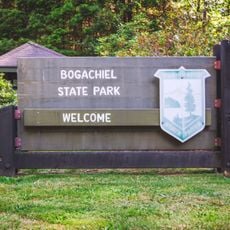
Bogachiel State Park
25.9 km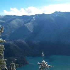
Aurora Peak
23.3 km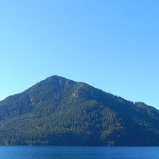
Pyramid Mountain
23 km
Tongue Point
32.6 km
Storm King Ranger Station
24.5 km
Slip Point Light
24.6 km
East Twin Falls
17.7 km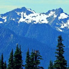
Mount Appleton
31.1 km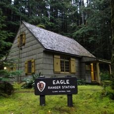
Eagle Ranger Station
21.3 km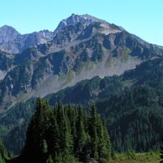
Cat Peak
37.2 km
Pyramid Peak Aircraft Warning Service Lookout
22.9 km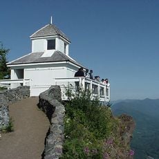
Kloshe Nanitch Lookout
3.4 km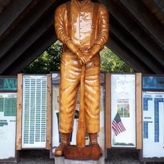
Forks Timber Museum
25.1 km
Forks Timber Museum
25.1 km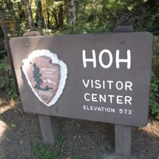
Hoh Rain Forest Visitor Center
26.2 km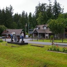
Forks Loggers Memorial
25 km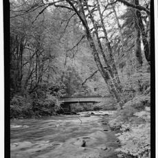
Sol Duc River Bridge
12.6 km
Forks Visitor Information Center
25 km
Fairholme Campground
15 km
Hoh Campground
26.5 kmReviews
Visited this place? Tap the stars to rate it and share your experience / photos with the community! Try now! You can cancel it anytime.
Discover hidden gems everywhere you go!
From secret cafés to breathtaking viewpoints, skip the crowded tourist spots and find places that match your style. Our app makes it easy with voice search, smart filtering, route optimization, and insider tips from travelers worldwide. Download now for the complete mobile experience.

A unique approach to discovering new places❞
— Le Figaro
All the places worth exploring❞
— France Info
A tailor-made excursion in just a few clicks❞
— 20 Minutes