
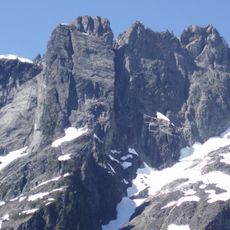
Alouette Mountain, mountain in British Columbia, Canada
Location: British Columbia
Elevation above the sea: 1,148 m
GPS coordinates: 49.33843,-122.49663
Latest update: July 14, 2025 17:47
Golden Ears Provincial Park
14.7 km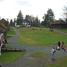
Lieu historique national du Fort-Langley
19.8 km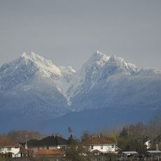
Golden Ears
2.8 km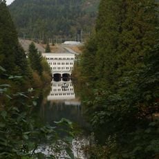
Stave Lake
14.6 km
Large Zenith Telescope
7.9 km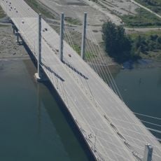
Pitt River Bridge
19.7 km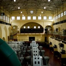
Stave Falls Dam
15.8 km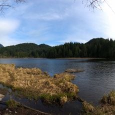
Minnekhada Regional Park
15.1 km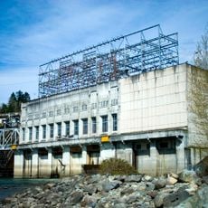
Ruskin Dam
17.1 km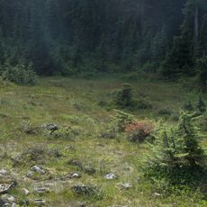
Pinecone Burke Provincial Park
16.4 km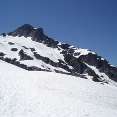
Golden Ears Group
2.8 km
Rolley Lake Provincial Park
13.3 km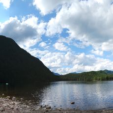
Davis Lake Provincial Park
19.6 km
Kanaka Creek Regional Park
14.3 km
Alouette River
4.8 km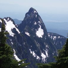
Blanshard Peak
610 m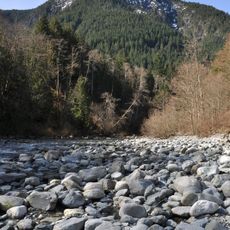
Evans Peak
1.4 km
Fort Langley Golf Course
19.1 km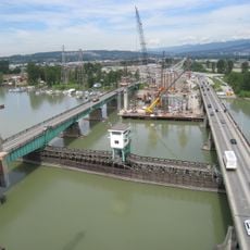
Pitt River Bridge
19.7 km
North Alouette River
17 km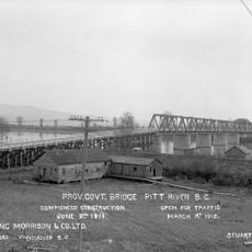
Pitt River Bridge
19.7 km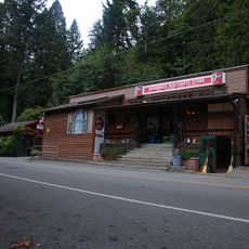
Whonnock General Store
18.4 km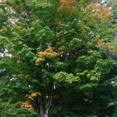
Whonnock sugar maple trees
17.2 km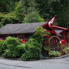
Whonnock Post Office
18.4 km
Wright memorial maple tree
19.7 km
Houston Milk House
17.2 km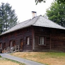
Fort Langley servants' quarters
19.8 km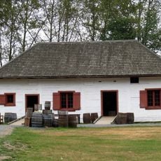
Fort Langley storehouse
19.7 kmReviews
Visited this place? Tap the stars to rate it and share your experience / photos with the community! Try now! You can cancel it anytime.
Discover hidden gems everywhere you go!
From secret cafés to breathtaking viewpoints, skip the crowded tourist spots and find places that match your style. Our app makes it easy with voice search, smart filtering, route optimization, and insider tips from travelers worldwide. Download now for the complete mobile experience.

A unique approach to discovering new places❞
— Le Figaro
All the places worth exploring❞
— France Info
A tailor-made excursion in just a few clicks❞
— 20 Minutes