
Devils Gulch, valley in Chelan County, Washington state, United States of America
Location: Chelan County
Location: Washington
Elevation above the sea: 533 m
GPS coordinates: 47.39472,-120.50167
Latest update: March 13, 2025 21:25
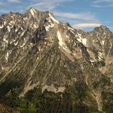
Mount Stuart
31.4 km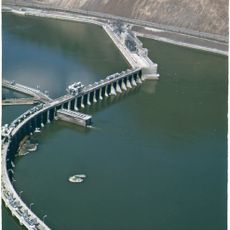
Rock Island Dam
31.2 km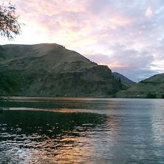
Lincoln Rock State Park
19.4 km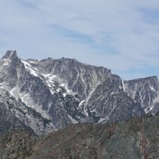
Dragontail Peak
26.7 km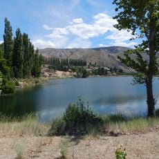
Daroga State Park
32.8 km
Leavenworth Ski Hill
27.5 km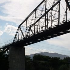
Columbia River Bridge
15.5 km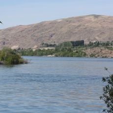
Wenatchee Confluence State Park
14.9 km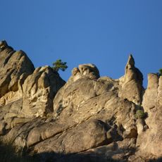
Peshastin Pinnacles State Park
16.4 km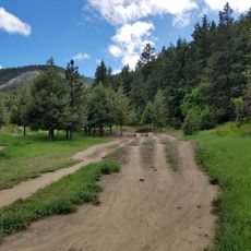
Squilchuck State Park
13.5 km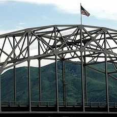
Senator George Sellar Bridge
15.7 km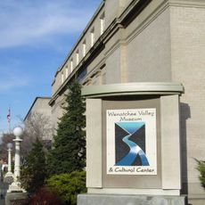
Wenatchee Valley Museum & Cultural Center
14.7 km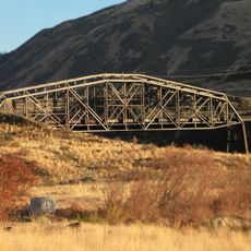
Rock Island Railroad Bridge
26.5 km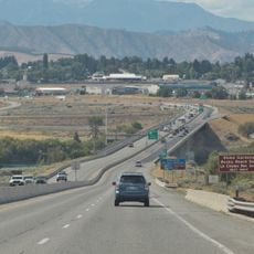
Richard Odabashian Bridge
16.3 km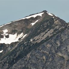
Big Lou
37.6 km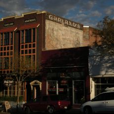
Downtown Wenatchee Historic District
14.8 km
Leavenworth Ranger Station
25.6 km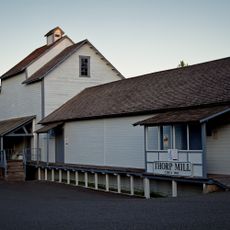
Thorp Mill
38.2 km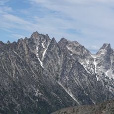
Argonaut Peak
28.4 km
Pangborn-Herndon Memorial Site
17.6 km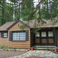
Chatter Creek Guard Station
37.2 km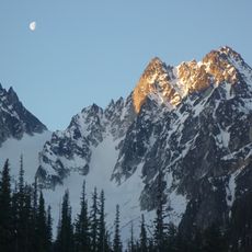
Colchuck Glacier
27.2 km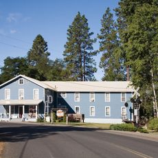
Milwaukee Road Bunkhouse
41.4 km
Der Ritter
25.3 km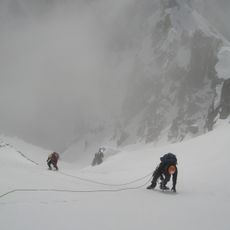
Sherpa Glacier
30.6 km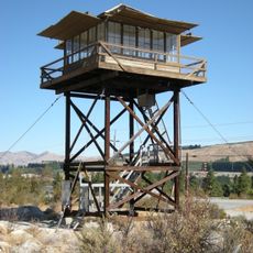
Chelan Butte Lookout
40.1 km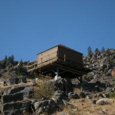
Badger Mountain Lookout
39.9 km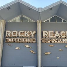
Rocky Reach Dam Discovery Center
21.5 kmReviews
Visited this place? Tap the stars to rate it and share your experience / photos with the community! Try now! You can cancel it anytime.
Discover hidden gems everywhere you go!
From secret cafés to breathtaking viewpoints, skip the crowded tourist spots and find places that match your style. Our app makes it easy with voice search, smart filtering, route optimization, and insider tips from travelers worldwide. Download now for the complete mobile experience.

A unique approach to discovering new places❞
— Le Figaro
All the places worth exploring❞
— France Info
A tailor-made excursion in just a few clicks❞
— 20 Minutes