Chest opened
+${chestReward.xp} XP
Explorer
NOUVEAU ×${chestReward.collectible.quantity}
tapez pour fermer
Chest locked

Open chests in the app

Around Us is built for your phone — chests unlock when you walk, explore and capture nearby places.

Enable Location

We need your location to show you interesting places around you

Discover nearby places

Find interesting locations and hidden gems around you

Precise directions

Get accurate directions and distances to places

Your location is never shared with other users. It's only used when you tap the location button.

Log in to your account

Start exploring — it's free

Trusted by 73,007 travelers worldwide

Continue with Google
Continue with Apple
or

We will send you a code to connect

By continuing, you accept our Terms and Conditions and our Privacy Policy

Check your inbox

We've sent a pincode in your inbox. Please enter the code below.

Coquihalla Summit Recreation Area
Discussion Reviews Photo
1.4k Popularity

Coquihalla Summit Recreation Area, Mountain recreation area in Fraser Valley Regional District, Canada

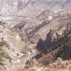
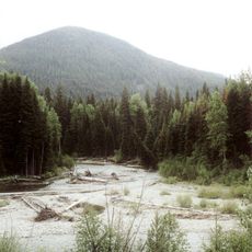
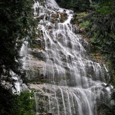
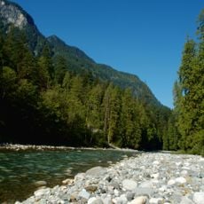
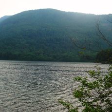
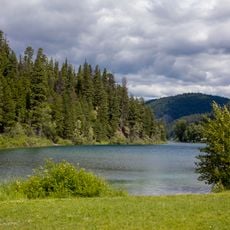
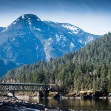
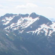
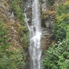
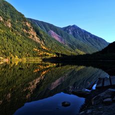
The Coquihalla Summit Recreation Area is a mountain region in the Fraser Valley that spreads across forested slopes between Hope and Merritt. The terrain features granite peaks, mountain lakes, and varied forest types across different elevations.

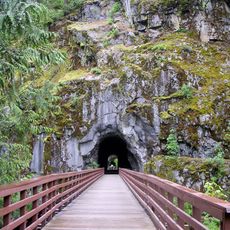
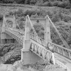
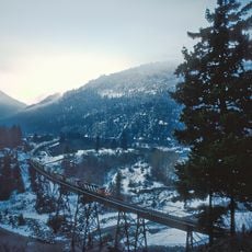
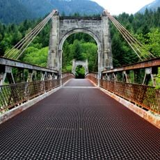
The area developed along historic routes including the Hope-Nicola Trail established in 1876 and later the Kettle Valley Railway, before becoming an official recreation area in 1987. This evolution shows how mountain passes transformed from transportation corridors into outdoor destinations.

The name Coquihala comes from Halq'emeylem language and reflects connections to the local Indigenous communities of this region. Visitors walking through the area can sense how these landscapes were once central to traditional ways of life.

Visitors should prepare for changing mountain weather and bring layers suitable for different elevations. Access varies by season, so it is helpful to check conditions beforehand and carry water and maps.

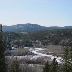
The area marks a boundary between British Columbia's wet coastal climate and its dry interior, creating four distinct forest zones with different plant communities. This natural transition point makes it a rare place to observe how climate and plant life shift across a single landscape.

The community of curious travelers

AroundUs brings together thousands of curated places, local tips, and hidden gems, enriched daily by 60,000 contributors worldwide.

Start exploring
Inception
September 4, 1987
GPS coordinates
49.59170,-121.11700
Latest update
December 14, 2025 16:41
Reviews
Share your experience

No review yet

Discussions
Start a discussion...

No discussion yet

« Coquihalla Summit Recreation Area - Mountain recreation area in Fraser Valley Regional District, Canada » is provided by Around Us (aroundus.com). Images and texts are derived from Wikimedia project under a Creative Commons license. You are allowed to copy, distribute, and modify copies of this page, under the conditions set by the license, as long as this note is clearly visible.

Discover hidden gems everywhere you go!

From secret cafés to breathtaking viewpoints, skip the crowded tourist spots and find places that match your style. Our app makes it easy with voice search, smart filtering, route optimization, and insider tips from travelers worldwide. Download now for the complete mobile experience.

Around Us App Screenshot

A unique approach to discovering new places

Le Figaro

All the places worth exploring

France Info

A tailor-made excursion in just a few clicks

20 Minutes

Around Us
Travel Guide & Maps
Download

Send to your phone

QR Code
1

Open the camera app on your mobile.

2

Point at the QR code with your camera. A notification will appear.

3

Tap the notification to open the link.