Harmony Islands Marine Provincial Park, provincial park in British Columbia, Canada
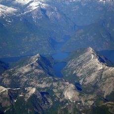
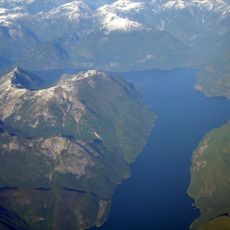
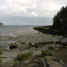
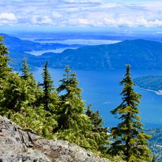
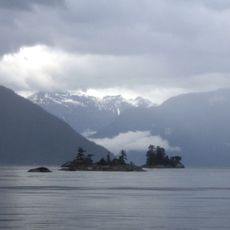
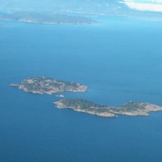
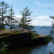
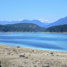
Harmony Islands Marine Provincial Park sits on the east side of Hotham Sound and includes several small islands with rocky shores and clear water. The park protects the southernmost island and a northern island along with much of the surrounding shoreline for swimming, kayaking, and snorkeling.
This area was long important to the Indigenous Peoples of the region who developed deep ties to the land over generations. The park was established to protect both the natural landscape and the cultural history connected to these communities and their ancestral home.
The islands hold deep significance for local Indigenous Peoples whose history and traditions are connected to this place. Visitors can learn about the cultural importance of these islands by exploring the stories and practices that communities have maintained over time.
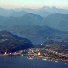
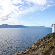
Access is by boat only, with Egmont on the Sechelt Peninsula being a common starting point since there is no road access. Visitors must bring their own drinking water, food, and supplies as there are no facilities or services in the park area.
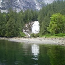
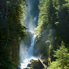
About a mile south of the islands, Freil Lake Falls drops nearly 1,400 feet down a steep cliff into Hotham Sound, creating a striking sight visible from the water. Access to the base is challenging due to steep, slippery rock faces that require caution and care.
The community of curious travelers
AroundUs brings together thousands of curated places, local tips, and hidden gems, enriched daily by 60,000 contributors worldwide.