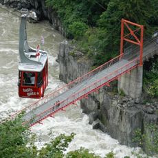
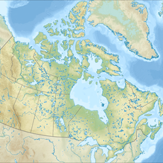
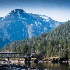
Coquihalla Pass, Mountain pass in British Columbia, Canada.
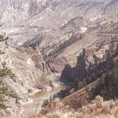
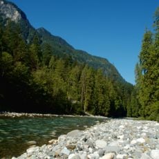
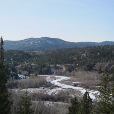
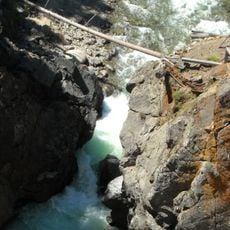
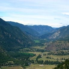
Coquihala Pass is a mountain pass in British Columbia that reaches 1,244 meters elevation between Hope and Merritt. The highway crosses terrain that separates the Coquihala River and Coldwater River valleys, connecting several distinct vegetation zones.
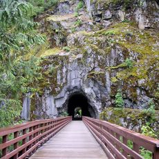
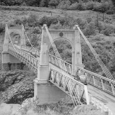
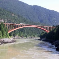
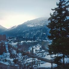
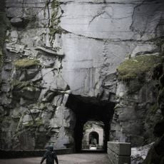
The transportation corridor through the pass began in 1876 as the Hope-Nicola Trail for horse travel. Later came the Kettle Valley Railway, which operated until 1961 before being abandoned.
The name comes from the Halq'emeylem word Kw'ikw'iya:la, referencing a traditional salmon fishing site in the area. The pass has long connected different communities and holds significance in local indigenous traditions.
Winter tires or chains are required from October through April, and severe weather can cause unexpected road closures. It's wise to check current conditions before traveling and bring supplies and emergency equipment.
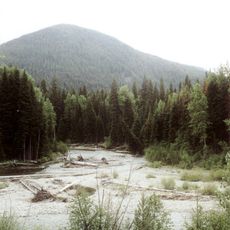
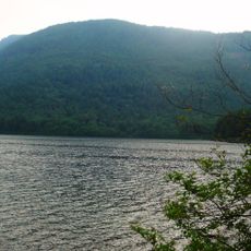
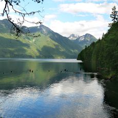
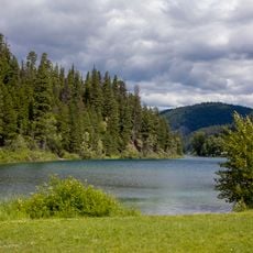
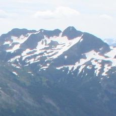
The Coquihala Summit Recreation Area spans roughly 5,750 hectares (14,200 acres) of mountain slopes marking a transition between coastal and interior ecosystems. On clear days, visitors can see far-reaching landscapes that reveal the region's broad geographic diversity.
The community of curious travelers
AroundUs brings together thousands of curated places, local tips, and hidden gems, enriched daily by 60,000 contributors worldwide.